Watsonville, California
Looking for the best chillin in Watsonville? We've got you covered with the top trails, trips, hiking, backpacking, camping and more around Watsonville. The detailed guides, photos, and reviews are all submitted by the Outbound community.
Top Chillin Spots in and near Watsonville
-
Carmel-by-the-Sea, California
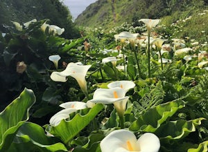
Calla Lily Valley
4.50.31 mi / 46 ft gainParking for Calla Lily Valley is available along the dirt pullout at Gate 19 for Garrapata State Park, near mile-marker 63. Signs are small and difficult to see. Follow the path between the guide wires and take the right fork, heading north to the bluff overlooking the beach. Continue north and f...Read more -
Carmel-by-the-Sea, California
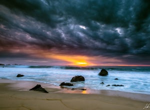
Garrapata Beach
4.6A wonderful roadside beach and state park. Easy parking on both sides of Hwy. 1 with short access trails. There are almost 2 miles of coastline trails heading north and south from the parking area. The north end of the beach is great for swimming and surfing when the sea is calm and the south ...Read more -
Pescadero, United States
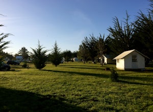
Relax at Costanoa Lodge
3.0Looking for a quick escape from the city, but sleeping on the ground isn’t really your thing? Look no further than Costanoa Lodge in Pescadero, an upscale "glamping" experience just an hour south of San Francisco with tons of hiking options. This is a really fun option for anyone who enjoys being...Read more -
Pescadero, California
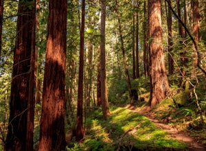
Hike the Canyon Rim Route in Butano State Park
5.011.7 miLocated deep within the Santa Cruz Mountains, Butano State Park boasts a large redwood canyon with many miles of hiking trails as well as campsites. This state park is one of the quietest and least visited parks on the peninsula making a perfect place to escape the hustle of the Bay Area Butano S...Read more -
San Jose, California
Catch a Sunset at Alviso Marina County Park
3.09 mi / 72 ft gainThis tranquil 20.6 acre park is open year round from 8am to sunset. It’s the gateway to the Don Edwards San Francisco Bay National Wildlife Refuge. It is filled with boardwalks, trails, and all kinds of wildlife. I went here with the sole intent of catching a pretty sunset after a long week. I g...Read more -
Loma Mar, California
Bike Pescadero Creek County Park
5.012.5 mi / 1350 ft gainPescadero Creek County Park and the connected Sam McDonald and Memorial Park are located deep in the Santa Cruz Mountains holding a vast network of secluded trails. From biking to backpacking, this area is a perfect place for a day or weekend adventure. This area also has the added bonus having r...Read more -
Los Altos, California
Park Day at Foothills Park
1.7Disclaimer: Foothills Park requires proof of residence in Palo Alto or being accompanied by a resident of the city. Learn more here.Foothills Park is 2.7 miles west of 280 after exiting Page Mill. After exiting you take a short scenic drive up the hill and come to the park entrance on your right...Read more -
Loma Mar, California
Camp Under the Redwoods at Memorial Park
With old growth redwoods and a creek swimming area, Memorial Park is a perfect escape from the hustle and bustle of the Bay Area. Memorial Park is only a few miles east of the town of Pescadero. To get here, you can either approach from Highway 1 and drive up Pescadero Creek Road or take Highway ...Read more -
Pescadero, California
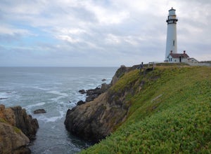
Explore the Pidgeon Point Lighthouse
5.0Pidgeon Point Lighthouse is conveniently located just 50 miles south of San Francisco. Constructed in 1872 and standing at 115 feet, it is among the tallest lighthouse in America.Part of the state park system, it is surprisingly secluded. Numerous parking space were available in the lot with hand...Read more -
Pescadero, California
Exploring Big Sur to Pigeon Point
We started off in Big Sur and took as many pull-off viewpoints as possible between Big Sur and the final destination, Pigeon Point Lighthouse. The weather was foggy in some spots but would open up to reveal the vast Pacific Ocean and sun in others. The weather was mild for us but we're familiar w...Read more -
Soledad, California
Explore Dreamy Wrath Wines Vineyards
Just a short drive from some of the best trails and rock climbing at Pinnacles National Park, Wrath Wines' Soledad winery is a great way to wine'd down after a day of adventure. What makes this grape growing region unique is the constant marine layer fog and wind stress out the grapes (that’s a ...Read more -
3160 North Shoreline Boulevard, California
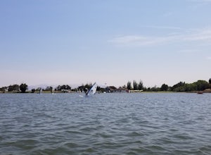
SUP Shoreline Lake
3.0Shoreline Lake features a big lake, many hiking and biking trails, and lot of picnic areas in Mountain View, CA. Kayaks, SUP, and various boats can be rented from the boat house. This is a great place to enjoy the water no matter what season it is. There are large grassy areas for kids to run and...Read more -
Stanford, California
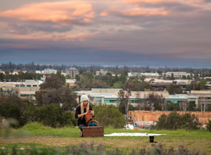
Sunset Picnic at Kite Hill
4.0Kite Hill is nothing more than what the name describes. A simple ascent less than 100 feet in elevation. But that 100 feet is all you need to feel like you discovered a little escape from the buzz below.To get there, you can park directly at the base of Kite Hill along Peter Coutts Rd and simply ...Read more -
Portola Valley, California
Sunrise Hike at Windy Hill
5.0There are a few options to this hike. Usually I would recommend parking in the lot on Portola Road, but because the preserve doesn't open until 30 minutes before sunrise, it's best to park up on Skyline Boulevard (Highway 35). There are two places to park up on Skyline, but the main parking lot i...Read more -
Pescadero, California
Catch a Sunset at Bean Hollow State Beach
5.0There are a bunch of places to photograph this beach if you head north on the trail that runs along the beach.There is parking at the beach but it can fill up quickly!The only warning you need is about the tide. Make sure you are watching it the entire time because it can creep up on you and will...Read more -
Paicines, California
Hike the Old Pinnacle Trail in Pinnacles National Park
5.09 mi / 2000 ft gainStart at the Old Pinnacles Trailhead and embark on a roughly 9 mile long adventure surrounded by amazing geological rock formations and natural landscapes. Bask in the peace of nature... meander through meadows alongside the West Fork of Chalone Creek and into Old Pinnacles. Continuing on at the ...Read more

