Ventura, California
Looking for the best photography in Ventura? We've got you covered with the top trails, trips, hiking, backpacking, camping and more around Ventura. The detailed guides, photos, and reviews are all submitted by the Outbound community.
Top Photography Spots in and near Ventura
-
Ojai, California
Rose Valley Falls
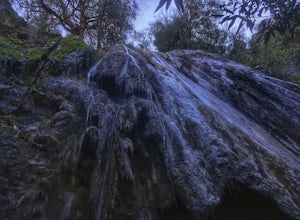
5.00.68 mi / 256 ft gain...It's not often that you come across 100 ft waterfalls. This moderate to easy hike to Rose Valley Falls leads you to one of the tallest waterfalls in the Los Padres National Forest. The hike begins at Rose Valley Campground. If you're not staying at a campsite, park outside the entrance of the ...Read more -
Malibu, California
La Jolla Canyon Falls
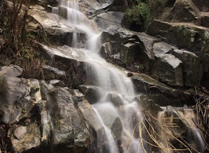
1.75 mi / 449 ft gain...I think out of all the State Parks in the Santa Monica Mountains, Point Mugu State Park is without a doubt the best one. Maybe it has something to do with its proximity to the beach, or the endless trails and epic views, but the energy and diversity here is just so much more wild. With the par...Read more -
Malibu, California
Camp at Thornhill Broome State Beach
5.0Take PCH through Malibu towards Oxnard and the campground will be on your left. There is no day use here and you can drive right to your campsite.During the summer, make reservations or arrive really early to nab a site. Spaces can fill up quickly.There is access to a hiking trail across PCH.Read more -
Ventura County, California
Sycamore Canyon Falls
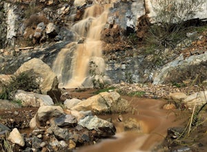
3.3 mi / 545 ft gain...When arriving in the Santa Monica Mountains Recreational Area, take the drive and park at Sycamore Canyon parking lot. Parking is free and also offers restrooms and some history about the park. Follow the trailhead South until you come to the Satwiwa Culture Center on your left and a dome-like...Read more -
Newbury Park, California
Boney Peak
4.012.04 mi / 3025 ft gainThe hike begins at the parking lot for Rancho Sierra Vista in Newbury Park, CA just outside LA. Pull into the parking lot and walk on the dirt road until you see the trail for Boney Peak. It is easy to find because the peak can be seen from the beginning of the trail. The trail is generally an in...Read more -
Ojai, California
Piedra Blanca Formations
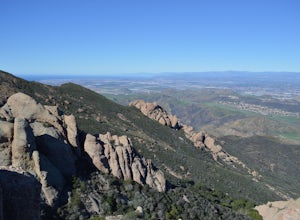
5.05.41 mi / 860 ft gainThese white sandstone formations, splitting out of the forest, are a worthwhile sight as you climb up to gain a great vantage point of the valley. Spend some time exploring the rocks - the nooks & crannies are full of surprises. You can turn this into an overnighter by staying at the campgrou...Read more -
Maricopa, California
Potrero John Trail
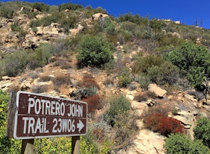
5.03.51 mi / 627 ft gainThe Potrero John Trail is only 1.75 miles one-way, and is mostly used for hiking. It is right off Highway 33- driving north on the 33, the trailhead is on the right side of the street, right after the Potrero John Bridge (parking is fairly limited so the earlier you get there the better). There ...Read more -
Malibu, California
Scenic Trail
4.01.53 mi / 322 ft gainThe trailhead is located in the day use area of Point Mugu State Park. Park in the day use area parking lot. There is a parking fee of $12/day or $3/hr. From the parking lot, walk through the campground until you reach the old service road. After passing through the gate, turn left at the si...Read more -
Malibu, California
Camp at Point Mugu's Sycamore Canyon Campground
The beach at Point Mugu State Park is just far away enough from the bustling town of Malibu and its popular beaches to feel like you are still secluded with nature. A great way to be close to the beach at Point Mugu State Park and access it easily whenever you want would be to camp at the Sycamor...Read more -
9000 Pacific Coast Highway, California
Cookout at Sycamore Cove Beach
If you ever wanted to see dolphins and seals playing and feeding in the surf while getting ready to barbecue, this is the spot for it. Whether you want some summer rays or some of our wicked wacky winter weather, Sycamore Cove will deliver. Usually isolated enough to keep large crowds away, this ...Read more -
Ventura, California
Scorpion Ranch Campground
4.00.72 mi / 43 ft gainAccessible only by Ferry, this little-known national park is a backpacker's dream. You can catch the ferry out of Ventura or Santa Barbara, only a short distance from LA. The ride to the island is around 1 hour. We chose to take Island Packers Ferry out of Ventura to Santa Cruz Island. The ferry...Read more -
Ventura, California
Potato Harbor Trail
5.04.34 mi / 404 ft gainAs California’s largest island, Santa Cruz Island of the Channel Islands is the perfect little getaway from Los Angeles. Getting to the island is possible only by a one hour boat ride through Island Packers, click here to find out more about them. Be sure to pack light since you’ll be carrying ev...Read more -
Ventura, California
Smuggler's Cove
3.57.72 mi / 1342 ft gainSave one stretch of elevation close to the cove itself, this 8-mile, round-trip hike is a leisuring trek across one of the countries most beautiful, though less famous National Parks - the Channel Islands. Smuggler's Cove is located on the Santa Cruz Island, which also happens to be the largest i...Read more -
Thousand Oaks, California
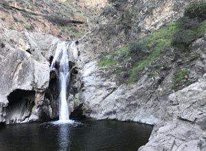
Paradise Falls Loop
4.32.26 mi / 300 ft gainThe hike to Paradise Falls is about 1.5 miles one way with around 300 feet elevation change. Take it easy starting the hike because the real challenge is the change in elevation going back to your car since you'll be going uphill. At the trailhead, follow the signs indicating the location of Para...Read more -
Thousand Oaks, California
Hiking Wildwood Regional Park
3.8Wildwood Regional Park is open year-round, easily accessible, and offers great routes for hiking, running, biking, and even horseback riding. There are also two waterfalls inside the park—the larger of the two, Paradise Falls, cascades 40 feet into a large pool. To catch some beautiful views of t...Read more -
Montecito, California
Saddle Rock Loop
4.03.37 mi / 984 ft gainBegin at the trailhead in the parking area on E. Valley Road. You'll gain some elevation (don't forget your water). You'll know when you arrive at Saddle Rock--you can't miss this conspicuous rock formation. Enjoy the sights from here. If you plan carefully and hike up on a clear day, you may eve...Read more

