Ventura, California
Looking for the best photography in Ventura? We've got you covered with the top trails, trips, hiking, backpacking, camping and more around Ventura. The detailed guides, photos, and reviews are all submitted by the Outbound community.
Top Photography Spots in and near Ventura
-
Malibu, California
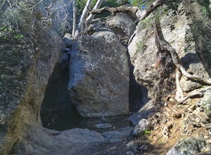
Grotto Trail
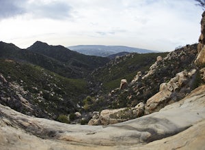
2.64 mi / 492 ft gainWho doesn't enjoy a hike that offers water, scenic views, boulder hopping and a subterranean cave? I know I do! The Grotto Trail begins at Circle X Ranch, which looks a bit like a small cowboy western store, and is approximately 6 miles from the Highway 1 (PCH). The parking is a tad tight, fittin...Read more -
12869 Yerba Buena Road, California
Mishe Mokwa Trail to Sandstone Peak
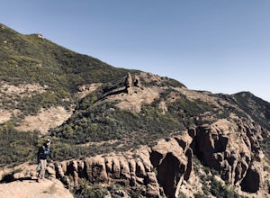
5.07.06 mi / 1755 ft gainTake Yerba Buena road to the trailhead. It is less zigzagged and shorter distance from PCH. Parking is easy provided that you start early in the morning. If the lot is full, you can always park on the side of the road. Bathroom is available at Sandstone Peak Trailhead parking lot, just 0.8 miles ...Read more -
Malibu, California
Sandstone Peak
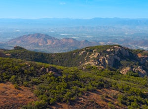
4.83.03 mi / 971 ft gainIf you live in Los Angeles, Sandstone Peak is a must! The hike to the summit can be done on a 2 mile hike up and back on Sandstone Peak Trail, or a 6.5 mile hike up and back on Backbone Trail. The shorter trail is more popular, yet both are equally rewarding. You won't believe the views from the...Read more -
Malibu, California
Balanced Rock via Sandstone Trailhead
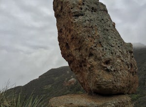
5.04.36 mi / 1125 ft gain...From the PCH, make a left turn on Yerba Buena road (turn right if you're coming South) for about 6 miles until you get to the dirt parking area. If the lot is full, there's extra parking on the side of the road. FYI, Balanced Rock can also be accessed by starting at the Mishe Mokwa trailhead,...Read more -
Montecito, California
West Fork of Cold Spring Trail
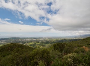
3.45 mi / 1135 ft gainIf you love the mountains above Santa Barbara but hate the crowds, stick to the canyon trails on the east side. The trails running up Cold Spring canyon offer a variety of experiences without all the noise. To find the West Fork of Cold Spring Trail, take the Olive Mill Rd. exit from the 101 fre...Read more -
Maricopa, California
Camp and Boulder at Pine Mountain
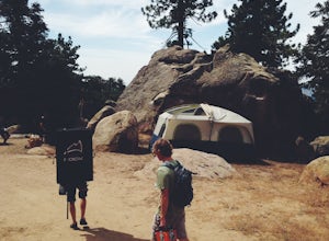
Pine Mountain is closed intermittently for the winter season due to snowfall, usually from November through February. Outside of those months, take the Highway 33 north out of Ojai, heading north for about an hour and a half. You’ll see a large turnout as well as a sign reading “Pine Mt Road” on ...Read more -
Santa Barbara, California
Inspiration Point
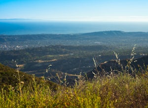
4.03.82 mi / 1109 ft gainHike up the 3.5 mile trail to an unbeatable vista that will leave you smiling! This hike has a steady uphill climb from the trailhead off of Tunnel Rd into Los Padres National Forest. Keep in mind this trail can get pretty crowded on weekends, so you're best to be at the trail early in the mornin...Read more -
Santa Barbara, California
La Cumbre Peak via Tunnel Trail
9.96 mi / 3310 ft gainTunnel Trail is a great way to get to the top of La Cumbre Peak. You get to the trailhead by taking Tunnel Road until it dead ends at a large water tower, there you can park your car and start on foot. You take Spyglass Ridge Road up which is a paved fire road until it becomes dirt when you get o...Read more -
Maricopa, California
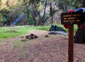
Bear Trap Campground via Gene Marshall/Piedra Blanca Trail
9.59 mi / 2211 ft gainThere's no better feeling then camping out and having a whole site to you and your friends...wouldn't you agree?!?! ...Deep in the Sespe Wilderness in Ojai, California sits a tucked away, well-managed campsite called "Bear Trap Campground". This campsite can be reached at any point of the year a...Read more -
Ventura, California
Prisoner's Cove to Scorpion Anchorage
5.013.19 mi / 2474 ft gainTo get to Santa Cruz Island you will need to book a ferry with Island Packers. On their website, you can only book roundtrip tickets in and out of the same location so for this trip you will need to call and book a ferry into Prisoner's Harbor and out of Scorpion Anchorage. You can call them at (...Read more -
Malibu, California
El Matador Beach
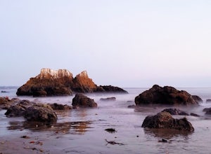
4.6There's something magical about this strip of beach and it never fails to deliver at sunset. Lined with strange and jagged rock formations/caves, there are endless opportunities for finding unique compositions and new perspectives. Although it's become quite the popular spot for photographers and...Read more -
Malibu, California
Newton & Zuma Canyon Falls
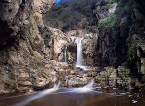
4.32 mi / -600 ft gainThree waterfalls in one short hike?!...I'll take it! That's what you'll get if you make the visit to these falls in the Santa Monica mountains in Malibu. The trailhead starts on Kanan Dume road, which is also where the Backbone trail meets. Park in the designated (free) parking area and take the ...Read more -
Malibu, California
Hike the Backbone East from Latigo Canyon
3.8 mi / 780 ft gainStarting in a dusty, generally empty parking lot, at about 2,000' ASL, you'll go immediately due north, up a few more feet before you drop down into another canyon covered in live oaks (and poison oak), thistles, ferns, and wildflowers. There's only one trail. It's windy, it's not hilly, it just ...Read more -
Santa Barbara, California
Hike to Knapp's Castle
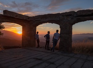
4.20.8 miOne of the many hidden gems near Santa Barbara, Knapp's Castle is an abandoned home built in 1916 by George Knapp. Finding the trailhead can be difficult because it's not clearly marked and the road it's starts from is long, winding and narrow. Coming from the 154, turn right on East Camino Cielo...Read more -
Los Angeles County, California
Backbone Trail via Corral Canyon
5.02.08 mi / 89 ft gainThe backbone trail was a vision that started in the 1980’s. It is a trail that stretches 65 Miles starting in Will Rodgers State Historic Park and ending at Thornhill Broome Beach. It has many entrance and exit points but it is anchored in the middle by the Coral Canyon Trail Head. The full trail...Read more -
Malibu, California
Point Dume
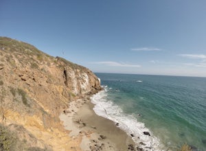
4.80.95 mi / 141 ft gainFrom the parking lot, make your way towards Point Dume. You will find the entrance to the trail at the end of the lot. The trail is a bit sandy, but fairly easy. Be careful of the cactus plants along the trail! Make your way up towards the cliff and you'll notice ropes hanging on the edge. Don't...Read more

