Ventura County, California
Looking for the best photography in Ventura County? We've got you covered with the top trails, trips, hiking, backpacking, camping and more around Ventura County. The detailed guides, photos, and reviews are all submitted by the Outbound community.
Top Photography Spots in and near Ventura County
-
Ventura, California
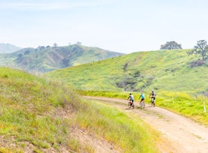
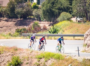
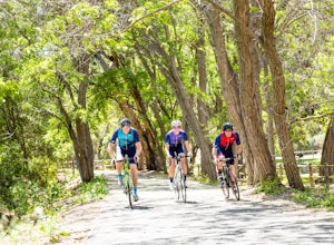
Bike the Sulphur Mountain Loop
28.6 mi / 2884 ft gainThe Sulphur Mountain Loop is a 28 mile cycling and mountain biking loop that begins in Ventura Canyon at the Sulphur Mountain Trailhead and loops through Ojai Valley. Beginning at the Sulphur Mountain Road trailhead off Highway 33, follow the road up and over Sulphur Mountain and down until it co...Read more -
Ventura, California
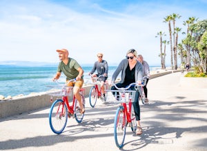
Bike the Ventura Promenade
0.5 mi / 0 ft gainThe Ventura Promenade is a .5 mile long biking and walking trail that runs from the Ventura Pier to Sufer's Point, eventually connecting to the Ventura River & Ojai Bike Trail. It is also part of the the larger "Omer Rains Trail" which runs some 3.5 miles to the south through Buenaventura Sta...Read more -
Castaic, California
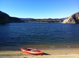
Paddle Castaic Lake State Recreational Area
6 miCastaic Lake is a man made reservoir located 41 miles north of downtown Los Angeles, CA in the town of Castaic. Made up of two bodies of water, separated by a 425-foot dam, Upper and Lower Castaic Lakes have a combined 29 miles of shoreline forming the Castaic Lake State Recreational Area. The s...Read more -
Los Angeles, California
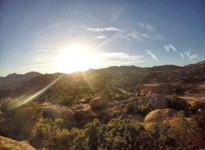
Stoney Point Park Loop
4.00.73 mi / 141 ft gainOnce you've parked along Topanga Canyon Blvd, make your way down the street and start the trail off near the steel gate, close to the horse stables. As you make your way in, you will notice some rock climbers practicing on the lower elevation rocks. Make your way around this rocky park, counter-...Read more -
Ventura, California
Bike the Ventura, Santa Paula, and Ojai Loop
48.8 mi / 2081 ft gainThe Ventura - Ojai - Santa Paul loop is a classic half-century loop throughs some of the most beautiful cycling roads on the Central Coast. Beginning in Ventura and heading on the off-road (but paved) Ventura / Ojai trails, this loop then heads into downtown Ojai before following Ojai Valley Road...Read more -
Ventura, California
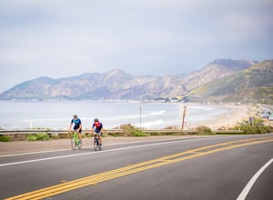
Bike the Rincon Trail
5.028.4 mi / 720 ft gainThe Rincon Trail between Ventura and Santa Barbara is part of the wonderful Pacific Coast Bike Route, and features two-wave paved cycling lanes with beautiful views up and down the central coast. There are numerous places to stop along the way for food and relaxing, including the great seaside to...Read more -
Ventura County, California
Hike the Upper Las Virgenes Canyon Open Space Preserve Trail
8.6 mi / 1851 ft gainThe most popular point of entry is through the Victory Trailhead, which has ample parking. You can park on the street or you can pay $3 to park at the trailhead parking lot. You can also enter at the Upper Las Virgenes Canyon Trailhead at the northern end of Las Virgenes Canyon Road in Calabasas....Read more -
Los Angeles, California
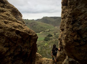
Cave of Munits
4.51.53 mi / 299 ft gainAre you looking for a hike that offers trail running, scenic views, hiking, and CAVE exploring? This short, but exciting trail leads you on a short 0.8 mile hike to the Cave of Munits. When starting at the main trailhead, El Scorpion Park, take the wide paved dirt road all the way till you get to...Read more -
Ventura, California
Bike the Ventura River and Ojai Bike Trails
32.6 mi / 1030 ft gainThe Ventura River and Ojai Valley Trail, effectively the same trail, is a gorgeous 32 mile trail that runs from Seaside Park in Ventura to downtown Ojai. It runs along and across the Ventura River and through the Ventura Canyon, with views up and down numerous side canyons and ravines. The trail ...Read more -
Ventura, California
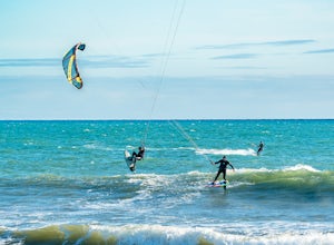
Kiteboard Surfer's Point
Surfer's Point aka Ventura Point is a well-known kite boarding/surfing (and surfing) spot due to its (when conditions are right) great wave quality, favorable wind direction (sideshore with occasional side-off), friendly locals, rider capacity, and a nearby point break with. When conditions are e...Read more -
Maricopa, California
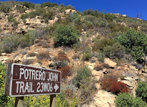
Potrero John Trail
5.03.51 mi / 627 ft gainThe Potrero John Trail is only 1.75 miles one-way, and is mostly used for hiking. It is right off Highway 33- driving north on the 33, the trailhead is on the right side of the street, right after the Potrero John Bridge (parking is fairly limited so the earlier you get there the better). There ...Read more -
Malibu, California
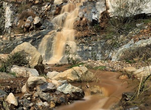
La Jolla Canyon Falls
1.75 mi / 449 ft gain...I think out of all the State Parks in the Santa Monica Mountains, Point Mugu State Park is without a doubt the best one. Maybe it has something to do with its proximity to the beach, or the endless trails and epic views, but the energy and diversity here is just so much more wild. With the par...Read more -
Malibu, California
Hike Point Mugu Peak
4.52 mi / 1250 ft gainPoint Mugu State Park offers some amazing rolling mountains, sweeping meadows of tall grass, and beautiful coastal views. I suggest going in the spring. I recently went, and the wildflowers were blooming everywhere. There are campgrounds available in different parts of the park that you can make ...Read more -
Malibu, California
Camp at Thornhill Broome State Beach
5.0Take PCH through Malibu towards Oxnard and the campground will be on your left. There is no day use here and you can drive right to your campsite.During the summer, make reservations or arrive really early to nab a site. Spaces can fill up quickly.There is access to a hiking trail across PCH.Read more -
Stevenson Ranch, California
Hike the Towsley Canyon Loop
4.75.1 mi / 1340 ft gainThe Towsley Canyon Loop can be done in either a clockwise or counter-clockwise loop. The clockwise path starts with a gradual ascent through Wiley Canyon and steep descent into the Towsley Gorge while a counter-clockwise route starts with a steep climb out of Towsley Canyon and a gradual descent ...Read more -
Malibu, California
Scenic Trail
4.01.53 mi / 322 ft gainThe trailhead is located in the day use area of Point Mugu State Park. Park in the day use area parking lot. There is a parking fee of $12/day or $3/hr. From the parking lot, walk through the campground until you reach the old service road. After passing through the gate, turn left at the si...Read more

