Upper Pines Campground, California
Top Spots in and near Upper Pines Campground
-
Mariposa County, California
Inspiration Point is a granite slab located on the mountainside above Tunnel View. Hiking to this scenic point will provide you with the same views you would get from Tunnel View with less people around. Hiking this trail can also take you to different parts of Yosemite if you're so inclined (Bri...
Read more
-
Mariposa County, California
Park at the Tunnel View parking lot. The Pohono Trail, which you fill follow for the first half mile, starts on the left side of Wawona Tunnel. You should notice a small path starting from the parking lot. The trail quickly ascends up a series of switchbacks before reaching a junction. If you...
Read more
-
Mariposa County, California
Beginning at 4400 feet of elevation in the bottom of Yosemite Valley, this trail will take you up about 3000 feet over 13 miles. You'll finish the hike at Glacier Point and be richly rewarded with one of the most spectacular views of Half Dome in the park.If you are interested in seeing landmarks...
Read more
-
Mariposa County, California
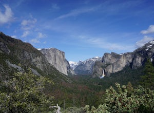
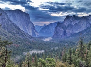
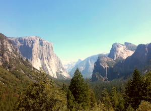
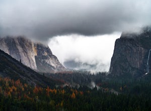
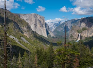
Tunnel View sets you up for an iconic view of some of the major highlights of the Yosemite valley including Bridal Veil Falls, El Capitan and Half Dome in the distance. To access the viewpoint, from Northside Dr., turn right onto Wawona Rd. You'll continue on Wawona Rd. up until you see you parki...
Read more
-
Mariposa County, California
Step 1: Get Wilderness Permit from the Wilderness Office the day before! Permits are free and required.
This trail is a Point-to-Point trail so make sure you have a shuttle situation figured out (or you can always hitch hike). The best option is to get dropped off at Tunnel View so that you don'...
Read more
-
Wawona, California
This approximately 5-mile out-and-back trail is a great hike in Yosemite National Park. This trail starts off of Dewey Point's Meadow Trail, but you can also start from the Dewey Point Ridge trail, which you'll pass first when coming up Glacier Point Road. This trail is not dog friendly, but is a...
Read more
-
Mariposa County, California
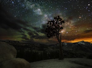
Just off the side of the highway, look for the pullout for Olmsted Point on your Map. There is a parking area with about 25 parking spots and the lookout point with the tree is right next to there. Come in the summertime and during a new moon to get the best views of the Milky Way. Never crowded,...
Read more
-
Yosemite National Park, California
5.0
19.23 mi
/ 860 ft gain
The goal for our weekend was to do some winter camping in the Yosemite backcountry; we decided on Sentinel Dome as our destination. The trail is a cakewalk during the summer, but winter turns it into a 10 mile uphill grind from the car. Most people opt to head for the ski hut at Glacier Point, bu...
Read more
-
Yosemite National Park, California
5.0
7.36 mi
/ 761 ft gain
Take the one-hour shuttle ride from the Yosemite Lodge to the Yosemite Ski Area, so that you don't have to worry about driving in the snowy conditions, or finding parking. If you don’t own snowshoes, you can easily rent a pair from the rental shop for the day. Current rates are $24.00 for a full ...
Read more
-
YOSEMITE NATIONAL PARK, California
Known for its breathtaking vistas, towering granite faces, and thundering waterfalls, Yosemite National Park truly is one of the world’s most astounding landscapes. Though the park covers nearly 1200 square miles, the vast majority of the ~4 million annual visitors spend almost all their time ar...
Read more
-
YOSEMITE NATIONAL PARK, California
Start your trip from the Badger Pass ski area. The Glacier point road is closed past here, and you'll spend your first couple of miles skiing mostly downhill to the Bridalveil Falls trailhead.The Bridelveil Creek trail gains slightly less elevation but is less scenic and longer than the more popu...
Read more
-
Mariposa County, California
4.0
2.34 mi
/ 489 ft gain
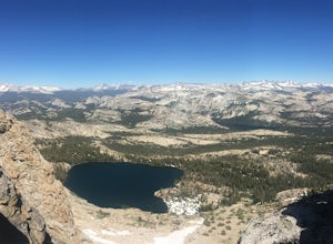
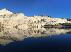
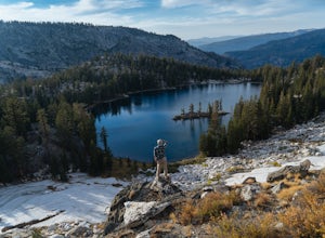
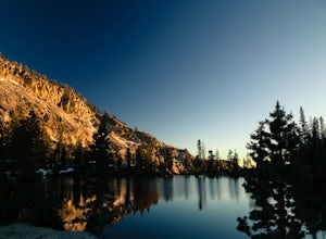
May Lake is a stunning, serene subalpine lake that rests at the base of Mt. Hoffmann. The May Lake turnoff is located four miles past Tenaya Lake. From the turnoff, it's 1.8 miles to the trailhead parking lot.
During summer time, I will recommend getting to the parking area early to get a spot ...
Read more
-
Mariposa County, California
The May Lake trailhead is at the end of a 2-mile unpaved road leading north from Tioga Road. The trailhead has pit toilets and bear lockers. (Please be sure to store any food, garbage, scented items, and empty coolers in these lockers while hiking!)
After hiking an easy 1.3 miles, you'll arrive ...
Read more
-
Mariposa County, California
This is a solid, day long trip. It is a great hike with a bit of a scramble on the way up to the summit massif and then again at the nearly 11,000-foot peak of Mount Hoffmann. You will have what John Muir described as his favorite view of Yosemite. You can look down onto Half Dome and across the ...
Read more
-
Mariposa County, California
5.0
13.38 mi
/ 2200 ft gain
Beginning at the Ten Lakes trailhead, the trail to the lakes is a moderately strenuous uphill grind to Ten Lakes pass, followed by a quick downhill into the lake basin. We met a woman at the top who made sure we didn’t miss the short side trail to a vista point on the pass that offered a sweeping...
Read more
-
Mariposa County, California
4.0
12.24 mi
/ 2000 ft gain
The trail begins at the Ten Lakes trailhead (7600 ft) right beside Yosemite Creek. The first 4 miles start you on the ascent through the wooded forest, however there are portions of the trail that will take you through granite rock valleys marked with only cairns so keep your eyes peeled througho...
Read more

