Twain, California
Looking for the best photography in Twain? We've got you covered with the top trails, trips, hiking, backpacking, camping and more around Twain. The detailed guides, photos, and reviews are all submitted by the Outbound community.
Top Photography Spots in and near Twain
-
Shasta County, California
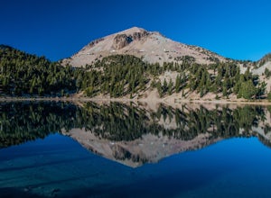
Lassen Peak
4.44.66 mi / 1936 ft gainOne of my personal favorites and a hidden gem of California that keeps circling my mind is the Lassen Peak Trail. Don't let the trail map (2.5 miles one way) deceive you and make you think this is a short trail. The elevation gain is is 2000 feet from the parking lot to the end of the peak. The a...Read more -
Old Station, California
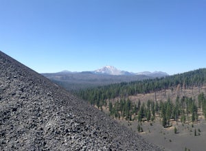
Hike to Snag Lake via the Cinder Cone
12.5 mi / 2000 ft gainStart from the Butte Lake trailhead, off Highway 44 at the north end of Lassen Volcanic National Park. From the parking lot walk past the little boat launch and the trailhead is obvious in front of you. Be mentally prepared to be walking in loose sand for most of this trip (and bring ankle or kn...Read more -
Calpine, California
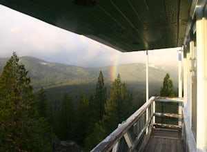
Camp at the Calpine Fire Lookout
5.0I think all explorers agree there is nothing more serene than being surrounded by nothing but wilderness. If you are one of these said explorers, a trip to Calpine's fire lookout is a must.Calpine is a forest fire lookout tower that was constructed in 1934 and is one of 3 remaining examples of th...Read more -
Chico, California
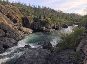
Hike the Yahi Trail in Upper Bidwell Park
7.9 mi / 836 ft gainTo start this hike, find parking at Bidwell Park Parking Area E, near the Chico Rod and Gun Club. From there walk a short ways down Upper Park Road. You will see the sign for the Yahi Trail trailhead on the right. From here, simply follow the trail along the river. A reminder to those with dogs, ...Read more -
Shingletown, California
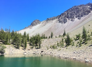
Hike the Chaos Crags Trail
3.8 mi / 915 ft gainManzanita Lake campground is located about 1/2 mile past the Northwest entrance of Lassen Volcanic National Park. The trailhead is located just before the campground sites about 0.1 mile off of the main road and marked with a sign (including a map) and a few parking spaces. The trail starts o...Read more -
Shasta County, California
Photograph Lassen Peak
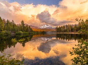
4.8Located in Northern California, Lassen Volcanic National Park is an astoundingly beautiful, diverse, yet under-appreciated park in the national park system.Manzanita Lake, located at the northwest park entrance, holds the largest campground in the park, and affords a gorgeous, photograph worthy v...Read more -
Shasta County, California
Camp out at Manzanita Lake Cabins in Lassen Volcanic NP
Deep in the Lassen National Forest is the beautiful and surprisingly one of the least visited National Parks, Lassen Volcanic National Park. On the north entrance of the park, you will find the beautiful Manzanita Lake Cabins and Campground with the gorgeous blue lake in the foreground. Getting ...Read more -
Nevada City, California
Hike the Diggins Loop Trail
5.02.7 miCheck in and pay for your parking or present California State Parks Pass at the museum building in North Bloomfield. After paying for parking there are several different options to get onto the Diggins Loop trail. Access to the Diggins Loop trail can be found by the Park Headcounters by jumping...Read more -
Nevada City, California
Backpack to Lower Rock Lake
3 mi / 713 ft gainThis adventure begins at the Lindsey Lake Campground parking lot (6,200 feet) where you leave your vehicle, takes you three miles up a trail rife with amazing photo opportunities and seasonal wildlife, and ends on the shore of Lower Rock Lake. Here you will find a dispersed camping site owned by ...Read more -
Nevada City, California
Swim at Edwards Crossing on the South Yuba River
5.02.74 mi / 1302 ft gainThere are endless swimming holes on the South Yuba River the feature crystal clear water, massive granite boulders and pristine pocket beaches, particularly those lower in the foothills. Many are separated by sections of rapids, but can be reached via the growing trail system of the South Yuba Ri...Read more -
Old Station, California
Subway Cave Lava Tubes
5.00.65 mi / 33 ft gainThe Subway Cave Lava Tube is located at Old Station in the Lassen National Forest. About 26 miles south of Burney, CA. If coming from the North, it is on Highway 89 (Volcanic Legacy Scenic Byway) on your left right before Highway 44. If coming from Redding, about 60 miles away, you would enter th...Read more

