Twain, California
Looking for the best running in Twain? We've got you covered with the top trails, trips, hiking, backpacking, camping and more around Twain. The detailed guides, photos, and reviews are all submitted by the Outbound community.
Top Running Spots in and near Twain
-
Lassen County, California
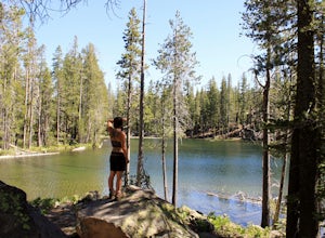
Backpack the Caribou Wilderness Lakes Loop
12 miThe caribou lakes loop is very laid back, making it a great start for first time backpackers and kids. Word of caution: in the summer the mosquitos are plenty, I'd recommend this loop for the fall. From the parking lot there is a visible sign pointing you in the direction of the trailhead near Ca...Read more -
Sierra City, California
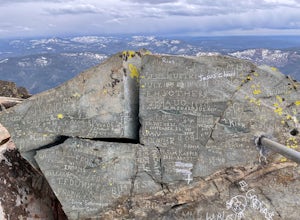
Sierra Buttes Lookout Trail
5.09 mi / 1365 ft gainSierra Buttes Lookout Trail is an out-and-back trail where you may see beautiful wildflowers located near Sierra City, California.Read more -
Tehama County, California
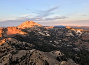
Brokeoff Mountain Trail
4.06.93 mi / 2474 ft gainPeaking above the volcanic valley at 9235 ft, Brokeoff Mountain is only second in height to Mt. Lassen in the national park they share. Brokeoff was once a part of a larger volcano called Mt. Tehama that erupted, eventually leading to its collapse. The event left a rugged volcanic rim, now con...Read more -
Chico, California
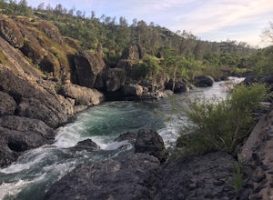
Hike the Yahi Trail in Upper Bidwell Park
7.9 mi / 836 ft gainTo start this hike, find parking at Bidwell Park Parking Area E, near the Chico Rod and Gun Club. From there walk a short ways down Upper Park Road. You will see the sign for the Yahi Trail trailhead on the right. From here, simply follow the trail along the river. A reminder to those with dogs, ...Read more -
Shingletown, California
Hike the Chaos Crags Trail
3.8 mi / 915 ft gainManzanita Lake campground is located about 1/2 mile past the Northwest entrance of Lassen Volcanic National Park. The trailhead is located just before the campground sites about 0.1 mile off of the main road and marked with a sign (including a map) and a few parking spaces. The trail starts o...Read more -
Shingletown, California
Manzanita Lake Loop
4.01.88 mi / 121 ft gainManzanita Lake Loop Trail is a loop trail that takes you by a lake located near Old Station, California.Read more -
Oroville, California
Feather River Trail Upper Section
3.23 mi / 89 ft gainFeather River Trail Upper Section is an out-and-back trail that takes you by a river located near Oroville, California.Read more -
Nevada City, California
Hike the Diggins Loop Trail
5.02.7 miCheck in and pay for your parking or present California State Parks Pass at the museum building in North Bloomfield. After paying for parking there are several different options to get onto the Diggins Loop trail. Access to the Diggins Loop trail can be found by the Park Headcounters by jumping...Read more

