Topanga State Park, California
Top Spots in and near Topanga State Park
-
Two Harbors, California
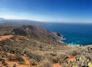
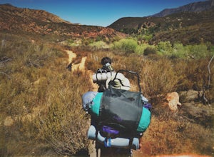
This hike was one of the most difficult and definitely one of the most memorable hikes I’ve ever done. The view of the island and the surrounding water is surreal and I am yet to be anywhere like this hike. The dry California vegetation of the mountains matched with the bright blue endless backgr...
Read more
-
Ojai, California
5.0
0.68 mi
/ 256 ft gain
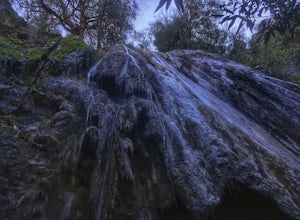
...It's not often that you come across 100 ft waterfalls. This moderate to easy hike to Rose Valley Falls leads you to one of the tallest waterfalls in the Los Padres National Forest. The hike begins at Rose Valley Campground. If you're not staying at a campsite, park outside the entrance of the ...
Read more
-
Ojai, California
From downtown Ojai, head north on N Signal Street. Head up the hill and turn left onto a gravel road next to a chainlink fence once you get to the top.(There should be a sign that points to "Pratt/Foothill Trailhead.") Continue past a water tank on the right to a trailhead parking area. I've gon...
Read more
-
Avalon, California
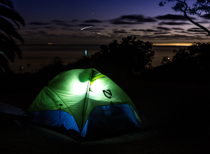
An island camping escape is a mere 50 minute boat ride away from the southern California coast. If you're feeling generous with your funds, you can also opt for a helicopter ride, leaving out of Long Beach and 15 minutes later landing in Catalina Island.Two Harbors campground is unique with the a...
Read more
-
Lancaster, California
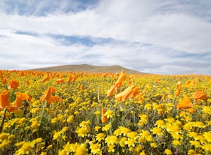
If you're going during wildflower season, start your adventure at the visitors center at the end of 150th St. W. Parking in the lot outside the visitors center is $10, but there is ample street parking that is free. In the visitors center you can read more about the reserve, plan your hike, and s...
Read more
-
Ventura, California
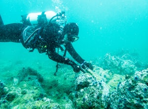
The numerous kelp forests, sea caves, and coves of the Channel Island National Park, coupled with its unbelievable sealife makes for some of the best diving in the world.
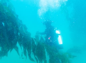
East Fish Camp off Anacapa Island is an excellent introduction to diving on the Channel Islands, with an average depth of 35'...
Read more
-
Los Angeles County, California
The trailhead is immediately off of Angeles Crest Highway CA-2 at Islip Saddle. It's just a touch over 2 miles to reach the summit, through which you'll be hiking among the pine tree forest practically the entire way up (part of this trail doubles as the Pacific Crest Trail). The summit is larg...
Read more
-
Ojai, California
5.0
5.41 mi
/ 860 ft gain
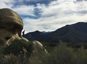
These white sandstone formations, splitting out of the forest, are a worthwhile sight as you climb up to gain a great vantage point of the valley. Spend some time exploring the rocks - the nooks & crannies are full of surprises. You can turn this into an overnighter by staying at the campgrou...
Read more
-
Ojai, California
Park at the Lions Camp parking lot. Adventure Passes aren't technically "required" but it never hurts to have one. You can stop at the Forest Service in Ojai (1190 E. Ojai Ave) or stop at the Wheeler Gorge Station on your way up to buy one for $5 for a night. The trail begins at the far side of t...
Read more
-
La Verne, California
4.0
5.99 mi
/ 722 ft gain
For this adventure you can choose to start in a multiple of places; for the easiest parking use Oak Mesa Park located next to Oak Mesa Elementary School. From the parking lot cross the soccer field towards the bridge on the north east end of the school. Once across the bridge follow Los Robles ea...
Read more
-
Azusa, California
4.3
3.36 mi
/ 607 ft gain
Take Hwy 2 out of La Canada north along Angeles Crest Highway. Follow this for quite some time enjoying the fine views in all directions. After traveling through two consecutive tunnels continue to the Islip Saddle parking lot (on left). There will be a vault toilet & a picnic table. Display ...
Read more
-
Pearblossom, California
4.5
7.37 mi
/ 1870 ft gain
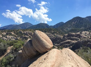
What a hidden gem! A martian landscape full of faultline desert rock formations and joshua trees against a mountainous backdrop of the San Gabriels. Devil's Punchbowl Natural Area features a 1 mile well-marked, well-maintained single track loop trail inside the Punchbowl (great for kids) and a 7 ...
Read more
-
La Verne, California
Within the San Gabriel Mountains from Highway 39 and along East Fork Road is Cattle Canyon. To go through Cattle Canyon, you can access the trail head just south of the Bridge to Nowhere trail head along East Fork Road right after it intersects with Glendora Mountain Road. There is a small parkin...
Read more
-
Ventura, California
East Cat Rock of Western Anacapa Island is an excellent dive site for experience the vast kelp forests that can be found all along the California Coast and in the Channel Island National Park. The average depth is around 60' feet and clarity varies from day to day.
Kelp forest and coldwater divin...
Read more
-
La Verne, California
4.4
9.65 mi
/ 1798 ft gain
The trail on this 10-mile hike is predominately slow and steady, but can be a little rocky, so be prepared to scramble. When you’re fording the river, the water level can range from knee to chest high, especially in the wet months. A good pair of waterproof hiking boots is helpful, but water shoe...
Read more
-
Ojai, California
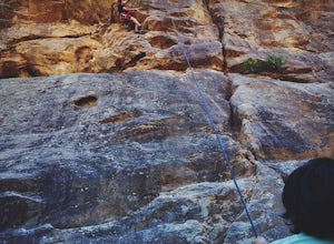
Grab a dozen quick draws, your 60m rope, and head up Highway 33 out of Ojai for 7 miles (One of the routes here describes the crag perfectly, a Riparian Daydream). Drive through one tunnel, and continue on for another mile or two until you reach two tunnels in quick succession. The crag is in bet...
Read more

