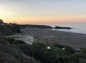
Tomales, California
Top Spots in and near Tomales
-
Inverness, California
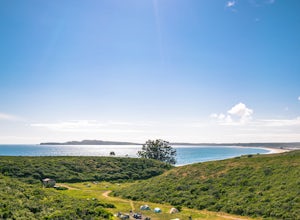
Hike the Estero Trail
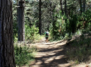
5.08 mi / 200 ft gainJune sunshine blazes on your shoulders during this scenic stroll through the Point Reyes Seashore. The trail is alive and awash with colorful wildflowers around every corner.Beginning at the trailhead, just off Home Ranch Road, with a convenient parking lot and bathroom, you'll wade through a hal...Read more -
Sebastopol, California
Ives Park
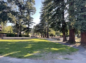
4.0Ives Park is the oldest park in Sebastopol, California, and is located only 2 blocks from downtown Sebastopol. The park has many picnic tables with barbecues, a baseball diamond, a playground, and a community pool. Amenities: Parking for the park is on the street surrounding the park. There is ...Read more -
Occidental, California
LandPaths Grove of Old Trees
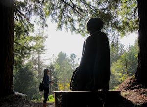
5.00.7 mi / 92 ft gainThe Grove of Old trees is a privately-owned preserve in Western Sonoma County that is open to the public year round. It is not large, only about 33 acres, but it makes a wonderful spot to go on a walk and to soak in the beauty of the redwoods. To get there from downtown Occidental, drive West up...Read more -
Sonoma County, California
Salmon Creek State Beach
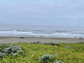
4.0Salmon Creek State Beach located is located just off Highway 1, north of Bodega, California. This beach has a parking lot and restroom on the cliff side, just a short walk down to the beach. DogsBoth North and South Salmon Creek sections of the state beach are not dog friendly due to the Federa...Read more -
Sebastopol, California
Laguna de Santa Rosa Loop Trail
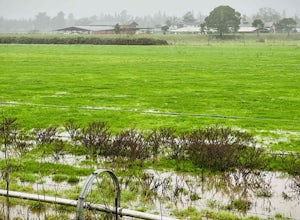
4.03.95 mi / 115 ft gainLaguna de Santa Rosa Loop Trail is a loop trail that takes you by a lake located near Sebastopol, California.Read more -
Occidental, California
Watershed View Trail
4.01.54 mi / 174 ft gainThe Watershed View Trail is located off of Coleman Valley Road and shares a trailhead with the Hunters Camp and Creekside Loop. This trail is a 1.5-mile out-and-back, which makes for a great trail to get the family out on to get some energy out. Be prepared for a muddy trail if there has been rec...Read more -
Occidental, California
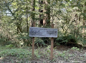
Hunters Camp and Creekside Loop
5.36 mi / 853 ft gainHunters Camp and Creekside Loop is an almost 6-mile loop off of Coleman Valley Road in Occidental, California. This trail can get pretty muddy during the rainy season, but as an added bonus, it makes the waterfall along the Creekside Trail that much better. Dogs are not permitted on this trail.Read more -
Petaluma, California
Hike Helen Putnam Regional Park
4.06 mi / 550 ft gainA 216-acre park, Helen Putnam offers 9 trails that are relatively short but can be combined however you wish. Go 2 miles or 10 miles. Loop in and out, up or around. I take a different route every time I hike here.For a good 6-mile hike, begin at the southwest corner, where the parking lot and res...Read more -
Point Reyes Station, California
Sky Trail Loop
5.09.55 mi / 1818 ft gainSky Trail in Point Reyes National Seashore is a dramatic, mostly single-track trail that runs along the main spine of the Inverness Ridge and across highest mountains in Point Reyes, looming above the Olema Valley and Highway 1 which mark the San Andreas Fault rift zone and the dividing line betw...Read more -
Point Reyes Station, California
Sky Campground via Sky Trail
2.66 mi / 495 ft gainEntering Point Reyes National Seashore from Bear Valley Road the Sky Trailhead is a 4.9 mile drive. Camping in Sky Camp requires a Camping Permit. Once at the Sky Trailhead parking lot. The Sky Trailhead will be on the left side pulling in. The hike is not very strenuous and not all that lo...Read more -
Point Reyes Station, California
Hike the Laguna Trail & Coast Trail Loop
5.05.2 mi / 300 ft gainLeave your car on a side of the road. When navigating there, put "HI Hostel Point Reyes" in your navigation - you park literally on the other side of the road, opposite to the hostel. Go to the west and soon you'll find the start of Coast Trail with a tsunami warning sign. During first 1.8 mile y...Read more -
Point Reyes Station, California
Coast Campground via Laguna Trailhead
4.34.02 mi / 633 ft gainThis campground is the closest you can get to staying overnight on Pt. Reyes coastline if you're backpacking in. Once you get there, enjoy the view! The easiest way to get to the camp is from the slightly uphill hike along the Laguna Trail and the Firelane Trail. The trailhead for the Laguna Tra...Read more -
Nicasio, California
Hike and Fish at Nicasio Reservoir
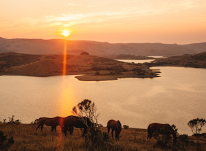
5.03 mi / 300 ft gainNicasio is a quaint town just inland of the more popular coastal town of Point Reyes. It's most known for it's wine country, rolling hills, and the home of Skywalker Ranch, George Lucas's getaway home. Most visitors of this area either pass right on through for Point Reyes or use it's scenic road...Read more -
Santa Rosa, California
Joe Rodota Trail
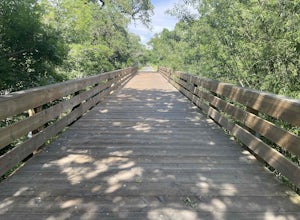
4.012.67 mi / 174 ft gainJoe Rodota Trail is an out-and-back trail where you may see wildflowers located near Sebastopol, California.Read more -
Santa Rosa, California
Santa Rosa Creek Trail: Willowside Road to Fulton Road
4.2 mi / 46 ft gainSanta Rosa Creek Trail: Willowside Road to Fulton Road is an out-and-back trail that takes you by a river located near Sebastopol, California.Read more -
Bodega Bay, California
Camp at Wright's Beach Campground
/ 32 ft gainThis campground is defined by the scenery: rugged headlands, craggy coastlines, natural arches, and quiet coves.Wright's Beach Campground features primitive camping - basic tent sites with picnic tables, fire rings, and amazing ocean views. This is a great location for Bay Area campers who want t...Read more

