Tioga Pass, California
Looking for the best camping in Tioga Pass? We've got you covered with the top trails, trips, hiking, backpacking, camping and more around Tioga Pass. The detailed guides, photos, and reviews are all submitted by the Outbound community.
Top Camping Spots in and near Tioga Pass
-
Mammoth Lakes, California
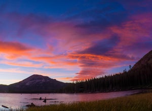
Photograph Lake Mary, Mammoth Lakes
4.0Lake Mary is the largest of the 11 lakes in the Mammoth Mountain area. Explore the lake’s perimeter and find your own perfectly peaceful place to watch one of Mammoth’s signature stunning sunsets. Parking is easy to come by either on the side of the road or at the marina parking lot up the road.B...Read more -
YOSEMITE NATIONAL PARK, California
Dewey Point via McGurk Meadow Trailhead
5.07.51 mi / 300 ft gainBefore you start, be sure to visit the Yosemite Valley Visitor Center and grab an overnight permit. More info on this at nps.gov. This trail meanders through beautiful, dense meadows full of wildlife - watch for bears! When you're not hiking among the wildflowers and babbling brooks, you're enc...Read more -
Mammoth Lakes, California
Duck Lake via Duck Pass Trail
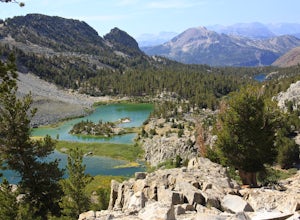
4.79.29 mi / 1880 ft gainThe Duck Pass trail in the John Muir Wilderness combines breathtaking views, wildflowers and plenty of icy mountain lakes for swimming into a trail that is moderate in both difficulty and distance. With multiple lakes along the way to pitch your tent and plenty of day hike options from a base cam...Read more -
Mariposa County, California
Dewey Point via Tunnel View
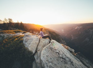
5.09.25 mi / 2979 ft gainDewey Point lies on the western side of the Pohono Trail, across the valley from El Capitan and above Cathedral Rocks. When I was there in September, it was deserted but for a few birds drifting on the thermals above the cliffs. The sunset was stunning. It felt like there was nothing between me a...Read more -
Madera County, California
Backpack to Lower Merced Pass Lake
4.023 mi / 880 ft gainLMPL (let's be honest, the full name is a mouthful) is situated just below the crest of Merced Pass, and can be accessed by hiking south from Yosemite Valley, or north from Chiquito Pass. This is a stunning and much less crowded spot to camp, or a great way to access some of the less climbed moun...Read more -
Groveland, California
Hetch Hetchy to Rancheria Falls
4.812.55 mi / 2500 ft gainSituated in the northwest portion of Yosemite National Park, Hetch Hetchy is is a not often visited treasure of the Central Sierra Nevada. In 1913, in an extremely controversial move, work on the O’Shaughnessy Dam was started to provide water to the growing population of San Francisco. Today, Het...Read more -
Mono County, California
Hot Creek Geological Site
4.8Hot Creek Geological Site is a must see when you are in the Mammoth Lakes area. It is just West of Highway 395 and only minutes form the town of Mammoth Lakes, which has great food, a ski resort, world class mountain biking, and a brewery. Bishop is about 40 minutes South which is well known for ...Read more -
Mammoth Lakes, California
Relax at Laurel Lakes
0 mi / 0 ft gainThe Laurel Lakes trip, just south of Mammoth Lakes, is a worthwhile day trip that can easily be made into a hiking/camping trip.To get there, make your way to Laurel Lakes Rd via Sherwin Creek Rd either from Old Mammoth Rd or from the 395. The road to the lakes is not too bad initially but you'll...Read more -
Mammoth Lakes, California
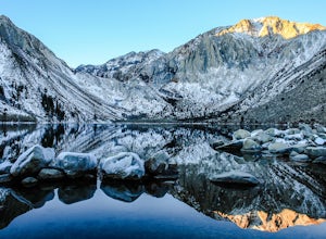
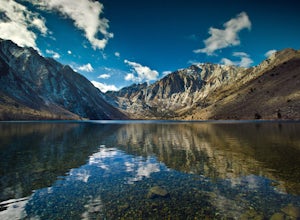
Convict Lake
4.92.46 mi / 56 ft gainIn 1871, a group of inmates escaped from a prison and were ambushed near the lake by a posse who had tracked them down. The inmates escaped the shoot out after killing two of the men in the posse and the lake now had a name – Convict Lake. You won’t witness a wild west shootout here, but if you ...Read more -
Mono County, California
Fishing at Convict Lake
4.3Many people come to Convict lake for the fishing. Convict is located only 2 miles off the main highway in the Eastern Sierras. The lake is clear and pristine with beautiful views. There are various ways to fish here; some rent out boats or bring their own and cruise around the lake fishing. O...Read more -
Mono County, California
Summit Mount Baldwin (12,614')
15 mi / 5000 ft gainDirections The hike for Mount Baldwin starts at the Convict Lake trailhead. The turn off for Convict lake is about 4.5 miles south of the Mammoth Lakes exit along the 395 and roughly 35 miles North of Bishop, CA. Take this exit and follow the road West towards the mountains. Turn right at the ...Read more -
Mariposa County, California
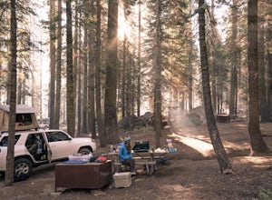
Camp at Crane Flat Campground
Crane Flat Campground is located on the Big Oak Flat Road (Highway 120) just west of Crane Flat, about 30 minutes northwest of Yosemite Valley. Sites are open July-October at $26/night. More info at https://www.nps.gov/yose/plany...Read more -
Wild Willy's Hot Spring, United States
Wild Willy's Hot Spring
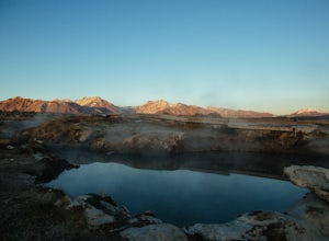
5.0Also known as "Crowley Hot Springs", Wild Willey's is located a short drive from Mammoth Lakes. For more information on the hot springs and the public land restoration, check out the BLM's Website. From Mammoth Lakes, head south on the 395 for 3.5 miles until you make a left at Benton Crossing Rd...Read more -
Yosemite National Park, California
Buena Vista Lake via Chilnualna Falls Trailhead
24.64 mi / 5453 ft gainHiking and camping at Buena Vista Lake is a beautiful way to see the south side of Yosemite… the name says it all. With beautiful 360 degree views from Buena Vista Peak you get to look at the backside of Half Dome, up to Clouds Rest and all the domes and peaks in-between. You can reach the trail...Read more -
Yosemite National Park, California
Backpack to Johnson Lake
24 mi / 4500 ft gainYour trek begins at the Chilnualna Falls trailhead in Wawona near the South Gate in Yosemite. The first suggestion I have is to check the weather in the area to make sure you won't be slowed down by rain or snow. It's about 12 miles from the trailhead to the lake and if you are a swift hiker and ...Read more -
Yosemite National Park, California
Backpack to Crescent Lake
20 mi / 4100 ft gainCrescent Lake is another beautiful spot a long the Beuna Vista loop. Starting at the Chilnualna Trailhead in Wawona, you start your journey climbing about 4.6 miles and 2,300 feet to the top of Chilnualna Falls (always a good place to rest). Beyond the falls, continue a long the trail and always ...Read more

