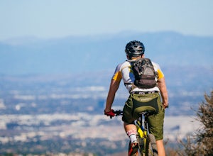
Temecula, California
Looking for the best running in Temecula? We've got you covered with the top trails, trips, hiking, backpacking, camping and more around Temecula. The detailed guides, photos, and reviews are all submitted by the Outbound community.
Top Running Spots in and near Temecula
-
Encinitas, California
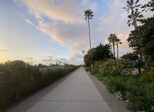
Encinitas Coastal Rail Trail
2.61 mi / 33 ft gainThe Cardiff/Encinitas Coastal Rail Trail (part of the longer, ongoing project to eventually run 44 miles between Oceanside and San Diego) is a beautiful, mellow, and well-maintained pathway that runs from the corner of Chesterfield Dr. & San Elijo Ave. (right across the street from the Patago...Read more -
Laguna Beach, California
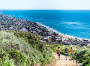
Aliso Peak via the Valido Trail
5.01.14 mi / 325 ft gainThe Valido Trail trailhead can be found just off West street off the Pacific Coast Highway, just south of Aliso Beach. Park on West Street past the trailhead. The trail proceeds approximate .5 miles till it intersects with the Aliso Peak Trail. Go left .4 miles to the obvious summit and wooden p...Read more -
San Diego, California
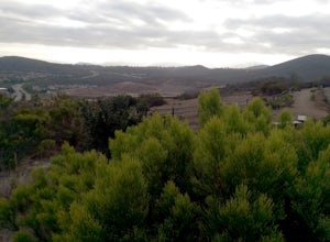
Black Mountain Peak via Miner's Ridge Loop Trail
2.54.3 mi / 951 ft gainThe Miner's Ridge Loop Trail is a relatively mild 4.3-mile loop that takes you to the 1554-foot summit of Black Mountain Peak. Even from the parking lot, the views to the east are stunning. Get there early in the morning on a clear day, or arrive just before sunset to get the full experience. T...Read more -
Riverside, California
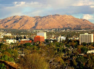
Hike Two Trees Trail
2.5 mi / 977 ft gainParking is free at the trailhead, but there is only room for approximately five cars. The trailhead is on the edge of a neighborhood, so you can park there if needed. From the parking lot, head west, and immediately veer right and across the bridge. If you go left at the first fork, you can stay ...Read more -
Corona, California
Skyline Drive Trail
3.09.07 mi / 1946 ft gainThis trail is shared by hikers, mountain bikers and trail runners. Rock climbers can find areas to boulder off the trail. Bring lots of extra water as this trail is rather dusty and can get very hot. This is a good training hike for those looking to do some backpacking. The trail is open year-r...Read more -
Laguna Beach, California
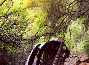
West Ridge to Car Wreck Trail and Mathis Canyon Loop
4.53.31 mi / 856 ft gainThere are numerous ways to incorporate the Car Wreck trail into a larger loop through the Laguna Coast Wilderness and Aliso Canyon Park, but a common route is to begin at Alta Laguna Park at "Top of the World" in Laguna Beach. Take the West Ridge Trail .5 miles, bearing right onto the marked Car...Read more -
Laguna Beach, California
Hike the West Ridge Trail
5.01.5 mi / 150 ft gainBeginning at Alta Laguna Park at Top of the World, the West Ridge Trail is a popular starting (and ending) point for adventures into the Laguna Coast Wilderness, leading to trails and areas like Car Wreck, Big Bend, and Willow Canyon. You can also do it in reverse from the north. The ridge itself...Read more -
Riverside, California
Hike Mt. Rubidoux
4.32.7 mi / 500 ft gainFeaturing over 161 acres and over 3.5 miles of combined paved and dirt trails, Mount Rubidoux Park in Riverside, CA is a beautiful natural environment and adventure location. Although some say this is just a "hill", this Inland Empire gem offers a quick escape from the pace of city life. Just m...Read more -
Palm Springs, California
Caramba Overlook
12.97 mi / 2779 ft gainCaramba Overlook is an out-and-back trail that provides a good opportunity to see wildlife located near Palm Springs, California.Read more -
Laguna Beach, California
Water Tank Trail
4.33.05 mi / 502 ft gainThere a numerous trails in the Laguna Coast Wilderness that proceed up and along the ridges and down into the canyons (or the reverse), and most are excellent for hiking, trail running, and mountain biking. A classic out-and-back (with many options for loops) begins in Irvine Bowl Park at the en...Read more -
Santa Ysabel, California
Hiking in Santa Ysabel
3.0Starting at the trailhead on Hwy 79, enter through the gate and make sure to close it behind you - the preserve is open range area for herds of cows, make sure not to disturb them when hiking. From the gate you'll see the sign with a detailed map of trails that are available for hiking. The trail...Read more -
Redlands, California
Run the Carriage Trail
3.52.5 mi / 300 ft gainThere is room to park just off San Timoteo Road. On the other side of the trail is more parking off Alessandro. You can park your car on either side and start your run/walk/bike ride. This is a nice little "get away" trail to take a break from suburbia.Read more -
Laguna Beach, California
Trail Run the Boat Road and Laguna Ridge
4.34 mi / 600 ft gainThere a numerous trails in the Laguna Coast Wilderness that proceed up and along the ridges and down into the canyons (or the reverse), and most are excellent for trail running, hiking, and mountain biking. A classic out-and-back (with many options for loops) begins at the end of Dartmoor Street ...Read more -
Laguna Beach, California
Emerald Canyon & Bommer Ridge Loop
5 mi / 873 ft gainThere a numerous trails in the Laguna Coast Wilderness that proceed up and along the ridges and down into the canyons (or the reverse), and are quite popular for mountain biking, hiking, and trail running. A great mountain biking loop begins in Emerald Canyon at the end of Emerald Canyon Road an...Read more -
Newport Beach, California
Explore Deer Canyon
6.9 mi / 1489 ft gainThe Deer Canyon Loop Trail is an easy drive from Orange County and Newport Beach. In the spring, wildflowers are abundant along the trial. This is a favorite spot for trail runners, hikers, and mountain bikers. The trail is kept in great condition year-round and is very wide. There is very little...Read more -
Newport Beach, California
Bommer Ridge from the Pacific Ridge Trailhead
7.54 mi / 394 ft gainThe Bommer Ridge West Trailhead aka The Pacific Ridge Trailhead begins at the edge of Ridge Park Road, overlooking CA State Highway 73, and marks the northwest entrance to the Laguna Coast Wilderness and its neighbor, Crystal Cove State Park. From the well-marked trailhead follow the trail south...Read more

