Stinson Beach, California
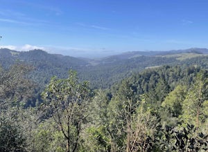
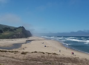
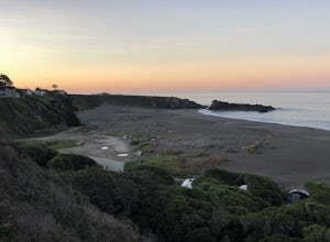
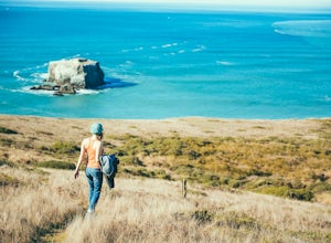
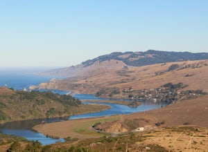
Stinson Beach, California is a popular spot for adventurers. With its scenic views, stunning beaches, incredible trails, and a variety of activities to choose from, this is the perfect spot for anyone looking to explore the great outdoors. There are a wide range of outdoor experiences, ranging from easy walks to challenging hikes and bike rides, so whatever you’re looking for, you can find something to suit your unique needs in Stinson Beach. With stunning views of the Pacific Ocean and the surrounding hills, and plenty of opportunities to immerse yourself in the area’s history and ecology, this is truly an outdoor lover’s paradise.
Top Spots in and near Stinson Beach
-
Fairfield, California
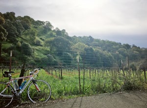
Bike the Gordon Valley to Wooden Valley Scramble
5.013.5 mi / 498 ft gainThis is a 13.5 mile loop route in Fairfield, California. The route has a total ascent of 498 feet and has a maximum elevation of 369 feet.Begin your ride at the corner of Oliver Road and Mankas Corner Road. Along Mankas Corner Road you'll pass the Napa Grass Farmer community farm and Il Fiorello ...Read more -
Occidental, California
Watershed View Trail
4.01.54 mi / 174 ft gainThe Watershed View Trail is located off of Coleman Valley Road and shares a trailhead with the Hunters Camp and Creekside Loop. This trail is a 1.5-mile out-and-back, which makes for a great trail to get the family out on to get some energy out. Be prepared for a muddy trail if there has been rec...Read more -
Occidental, California
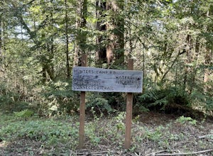
Hunters Camp and Creekside Loop
5.36 mi / 853 ft gainHunters Camp and Creekside Loop is an almost 6-mile loop off of Coleman Valley Road in Occidental, California. This trail can get pretty muddy during the rainy season, but as an added bonus, it makes the waterfall along the Creekside Trail that much better. Dogs are not permitted on this trail.Read more -
Santa Rosa, California
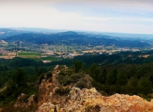
Gunsight Rock via Hood Mountain Trail
5.07.91 mi / 2372 ft gainHike to Gunsight Rock through Hood Mountain Regional Park to get a view overlooking Sonoma and Napa Valley. In order to get to the trailhead take Highway 12 to Los Alamos Rd, the road will then turn into Timberline Dr, this will take you to the trailhead. There is a parking fee of $8. From the p...Read more -
Half Moon Bay, California
Stroll along the Southern Beaches at San Gregorio State Beach
4.02.9 mi / 413 ft gainNot a trail per se, but approximately 3 miles (down and back) of beautiful beach to walk down. Lots of interesting caves, wild animals, and rock formations to discover. This is a popular location for sea kayakers. San Gregorio State Beach was originally founded to protect the estuary at the back ...Read more -
Bodega Bay, California
Camp at Wright's Beach Campground
/ 32 ft gainThis campground is defined by the scenery: rugged headlands, craggy coastlines, natural arches, and quiet coves.Wright's Beach Campground features primitive camping - basic tent sites with picnic tables, fire rings, and amazing ocean views. This is a great location for Bay Area campers who want t...Read more -
Sonoma County, California
Kortum Trail
9.27 mi / 968 ft gainThe Kortum Trail in the Sonoma Coast State Park connects Goat Rock with Wrights Beach, winding along the top of the sea cliffs and affording incredible views of the California Coast and its numerous sea rocks and arches. To get there take the Pacific Coast Highway / Highway 1 to either Wright's...Read more -
Antioch, California
Hike the Old Homestead Loop
5.06.5 miThis is a fun day hike that takes you through the beautiful hills of the Black Diamond Mines Regional Preserve and a bit of the Contra Loma Recreational Area as well. You can hike here year round, but I suggest going in the spring time when the hills are covered in soft, green grass and the wild ...Read more -
Portola Valley, California
Sunrise Hike at Windy Hill
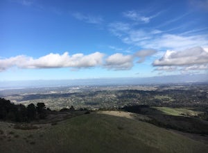
5.0There are a few options to this hike. Usually I would recommend parking in the lot on Portola Road, but because the preserve doesn't open until 30 minutes before sunrise, it's best to park up on Skyline Boulevard (Highway 35). There are two places to park up on Skyline, but the main parking lot i...Read more -
Stanford, California
Sunset Picnic at Kite Hill
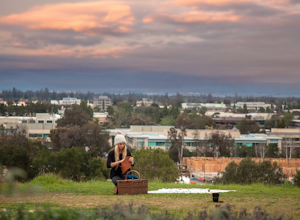
4.0Kite Hill is nothing more than what the name describes. A simple ascent less than 100 feet in elevation. But that 100 feet is all you need to feel like you discovered a little escape from the buzz below.To get there, you can park directly at the base of Kite Hill along Peter Coutts Rd and simply ...Read more -
Stanford, California
Stanford Dish Loop
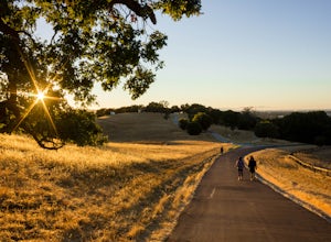
4.43.67 mi / 472 ft gainIf you live in the Palo Alto area and are looking for a place to hike or run, The Dish is a close, and great way to get that exercise. Located right on the corner of Stanford Ave and Junipero Serra, you'll see that small gated entrance right when you drive on by. As far as parking goes, you're le...Read more -
Portola Valley, California
Hike the Windy Hill Loop
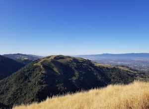
4.37.2 mi / 1400 ft gainThis 7.2-mile loop starts by heading out of the parking lot and onto the Spring Ridge Trail. Head Southeast On Spring Ridge Trail until you connect with Hamms Gulch Trail. When you jump on Hamms Gulch, head southwest for ~3.4 miles as you circle the far end of the OSP. At this point, you will con...Read more -
Pleasanton, California
Courdet Trail and Schuhart Trail
5.24 mi / 1122 ft gainThis is a 5+ mile out and back trail through the hills in the South Bay. The beginning of the hike has a steeper incline and then becomes more gradual later on. There is a beautiful views of the South Bay that are enjoyable in the day, but are fantastic in the evening. Some areas of the trail hav...Read more -
Forestville, California
Canoe the Russian River via Forestville
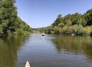
5.0Starting at Burke's Canoe in Forestville, CA this is a 10-mile self-guided canoe trip down the Russian River. You can rent your canoe from Burke's and launch from their beach. Burke's will also pick you up 10 miles down-river and shuttle you back to their parking lot.This canoe trip features lo...Read more -
Sonoma County, California
Red Hill and Pomo Canyon Loop
4.84.73 mi / 981 ft gainPark in the Shell Beach parking lot, north of Bodega Bay proper but just south of Goat Rock State Beach on Highway 1. Cross the road to pick up the Dr. David C. Joseph Memorial Trail heading up away from the ocean. Follow the trail, staying right toward Red Hill. (The trail forks off down Pomo Ca...Read more -
Larkfield-Wikiup, California
Creekside Trail to Canyon Trail to Ridge Trail Loop
4.04.46 mi / 850 ft gainCreekside Trail to Canyon Trail to Ridge Trail Loop is a loop trail that takes you through a nice forest located near Santa Rosa, California.Read more

