Signal Hill, California
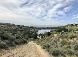
Signal Hill, California is a top destination for those seeking outdoor adventures. The Hilltop Park Trail is a must-visit, offering panoramic views of the city and the Pacific Ocean. This easy, paved trail is perfect for a casual stroll or a quick jog. Another scenic hiking trail is the Discovery Well Park Trail, known for its historical oil wells and beautiful city views. For those who prefer water activities, the nearby Long Beach offers kayaking and paddleboarding. For a unique outdoor attraction, visit the Signal Hill Petroleum Viewing Structure - a fascinating insight into the city's oil history. Indeed, Signal Hill offers some of the best trails and outdoor activities in California.
Top Spots in and near Signal Hill
-
Topanga, California
Calabasas Peak Motorway
7.23 mi / 1565 ft gainGetting There You can, from Los Angeles, go one of three ways: take I-405 to US-101 and head west, or from downtown, take US-101 the whole way, OR, get on I-10 from the Westside or east of there and take that until it becomes PCH, then take that to Topanga Canyon (turn left onto Old Topanga Cany...Read more -
Los Angeles County, California
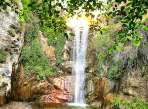
Trail Canyon Falls
4.04.56 mi / 1017 ft gainTo get to the trail, take Big Tujunga Canyon Road until you see signs for Trail Canyon Road. The entry point is easy to miss, but keep an eye out for a stop sign and cars parked at the bottom of a dirt path. Drive up the dirt path for direct parking at the trailhead (4x4 is definitely recommended...Read more -
Palmdale, California
Hike to Vetter Mountain and the Fire Lookout Tower
2.8 mi / 550 ft gainIf you're looking for an easy mountain to hike, and perhaps give the kids something interesting to learn about at the top, then Vetter Mountain may fit the bill. At 5,908', and with a trailhead at about 5,350', this 1.4 mile (one way) hike only climbs about 550' vertical. The trailhead is loca...Read more -
Claremont, California
Claremont Wilderness Loop
4.85.03 mi / 1020 ft gainDrive to the top of Mills Ave in Claremont. There is a main parking area to the left and overflow parking a block south on the right. It costs $3 to park for 4hrs. As the name implies, the Wilderness Loop is a loop that connects to other trails in the Claremont Hills Wilderness. You can choose t...Read more -
Dana Point, California
Walk the Dana Point Preserve Trail
5.00.5 miOcean views the whole time, plenty of wildlife and different species of native plants make this short hike beautiful. With the hike being short enough to complete in the afternoon after a day at the beach you can see a beautiful view of the coastline north and south. There is plenty of parking in...Read more -
Dana Point, California
Stand Up Paddle Dana Point Harbor
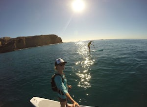
5.0Whether I’m looking for a quick workout on the water, wanting to catch some waves, or simply explore the coastline, Dana Point is one of my favorite places to paddle. There is plenty of parking close to the beach, so you don’t have to walk far with your board. It’s also a great spot to launch as ...Read more -
Dana Point, California
Explore Tide Pools at Dana Point
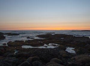
5.0If you're ever driving on the 5 between San Diego and Los Angeles and traffic is miserable (always), consider making a stop at Dana Point to check out the tide pools. The best place is behind the Ocean Institute which offers plenty of free parking and a short walk behind the building will quickly...Read more -
Trabuco Canyon, California
Hike the Bellview to Dove Lake Trail
2.5 mi / 75 ft gainThis hike will be about going from the Bellview Trailhead to Dove Lake and back. Note that once you get to Dove Lake there are numerous offshoots that can take you in different directions (you can follow the road into the Dove Canyon housing community, take a paved road back to the Bellview parki...Read more -
San Fernando, California
Pacoima Park Natural Wash Park
0.54 mi / 13 ft gainPacoima Park Natural Wash Park makes for a wonderful & pleasant walk. The entrance to the park is located at the corner of Newton St and 8th St and runs up to Foothill Blvd in San Fernando California. The park is ADA accessible and allows for dogs on leash. There are also picnic tables and dr...Read more -
Agoura Hills, California
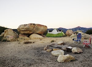
Camp at Malibu Creek State Park
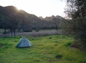
5.0Malibu Creek State Park boasts over 8,000 acres of oak woodlands, grassy hills, dramatic peaks and serene meadows. It's an outdoor lover's paradise and only a short drive north from most of Los Angeles. Before it was a park, the land was owned by 20th Century Fox Studios and used in productions...Read more -
La Verne, California
Cattle Canyon Trail
6.7 mi / 1066 ft gainWithin the San Gabriel Mountains from Highway 39 and along East Fork Road is Cattle Canyon. To go through Cattle Canyon, you can access the trail head just south of the Bridge to Nowhere trail head along East Fork Road right after it intersects with Glendora Mountain Road. There is a small parkin...Read more -
Palmdale, California
Camp at Chilao Campground
4.3While not as popular as shady Buckhorn Campground up the road, Chilao offers the better views and greater chances of scoring a peaceful and private campsite. There are two campsites located here (and two group camps down in the valley). Sites are first come, first serve, and cost $12 (bring exact...Read more -
Palmdale, California
Camp at Manzanita Loop in Chilao Campground
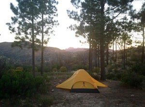
5.0Chilao Camp is located at an elevation of 5,300 feet, in the San Gabriel Mountains, and is divided into two different loops called the Manzanita and Pine.This specific adventure is for the Manzanita Loop, which is pretty much known as the more scenic loop, mainly because the area overlooks the Bi...Read more -
Agoura Hills, California
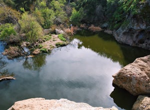
Malibu Creek Rock Pool
3.92.04 mi / 105 ft gainThe trail starts out from the main parking lot past the ranger station at Malibu Creek State Park. Begin hiking west on Crags Road, a well maintained trail that meanders along the creek. As you walk, you'll pass under large oak trees and enjoy expansive views of the Santa Monica Mountains. Aft...Read more -
Agoura Hills, California
Rock Climbing in Malibu Creek
A great day trip! Referred to by many as the "Yosemite of Southern California," Malibu Creek offers a huge selection of bolted sport routes on generously pocketed volcanic rock. This is the perfect place to bring a first time climber or even your most seasoned climbing buddies. Routes range from ...Read more -
La Verne, California
Bridge to Nowhere via East Fork Trail
4.49.65 mi / 1798 ft gainThe trail on this 10-mile hike is predominately slow and steady, but can be a little rocky, so be prepared to scramble. When you’re fording the river, the water level can range from knee to chest high, especially in the wet months. A good pair of waterproof hiking boots is helpful, but water shoe...Read more


