Sierra County, California
Top Spots in and near Sierra County
-
New Washoe City, Nevada
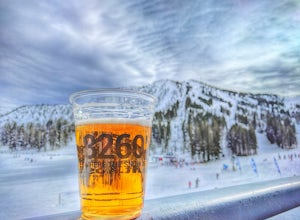
The Resort is located about 30 miles (50 km) south of Reno in the Carson Range. Mt. Rose is Tahoe's highest base elevation at about 8,260 ft (2,520 m) and the summit is 9,700 ft (3,000 m). The resort area is 1,200 acres (4.9 km2), and is located in the Toiyabe National Forest.See the resort map h...
Read more
-
Reno, Nevada
5.0
9.65 mi
/ 2405 ft gain
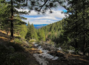
Starting at about 6500 ft of elevation Jones Creek Trail is a 9.2 mi loop trail starting in Galena Creek Park. The park itself is very accessible off of Mt. Rose Highway, parking is free, and there is plenty of it during a typical weekend. When entering the park simply follow the signs that say "...
Read more
-
Truckee, California
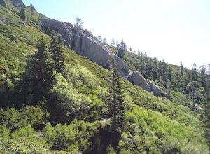
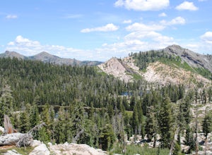
The Five Lakes Trail is located in the Granite Chief Wilderness in between Alpine Meadows and Squaw Valley ski resorts and is easily accessible at the intersection of Alpine Meadows and Deer Park roads. The 5-mile moderate trail ascends approximately 900-1000 ft. along granite canyons and pine f...
Read more
-
Truckee, California
Starting off of Lakeview chair at Alpine Meadows, head to the far right towards the sign for Outer Limits run. Traverse across the run and past the Ski Area Boundary signs on the far side. Continue through the trees where you will find a series of clearings generally full of untracked powder. The...
Read more
-
Washoe County, Nevada
You can't miss this spot in the open snowfields of Tahoe Meadows. This area is not privately owned or maintained, which is perfect. It is a short drive up the Mt. Rose Highway from Reno and Sparks and there is plenty of free parking (except on super-busy days) right next to the sledding slopes an...
Read more
-
Reno, Nevada
5.0
10.74 mi
/ 2392 ft gain
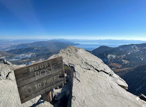
This challenging hike offers great views of the greater Tahoe area. The first part of the hike to the waterfall is relatively easy, but once you pass that, you'll be doing a decent climb to the summit. During the summer months, you'll want to get an early start as there can be a decent crowd head...
Read more
-
Placer County, California
A perfect adventure spot off Highway 80, Lake Valley Reservoir offers paddlers prime parking and a paved boat launch to push off on a mountain lake with an island for picnicking. Lake speed is 10 mph so fishing boats with outboards are allowed but they have to take it slow.
Post launch, head le...
Read more
-
Reno, Nevada
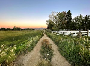
Anderson Park Loop is a popular trail for walking or running tucked away in a quiet neighborhood near Reno, Nevada. The trail loops around a pasture and connects up to Bartley Ranch for a longer or more scenic route.
Take in scenic views of the surrounding mountains, but there may be some traf...
Read more
-
Incline Village, Nevada
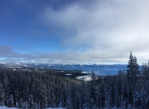
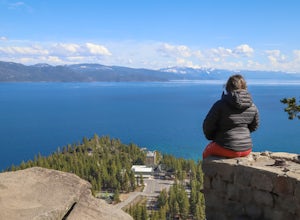
This quick 2-mile RT hike takes you to a lookout point above the Stateline of California and Nevada. The road to the lookout is paved so beginners can make the trek to the top in the summer; winter covers the road with snow, so snowshoes or boots are recommended. The lookout offers spectacular vi...
Read more
-
Incline Village, Nevada
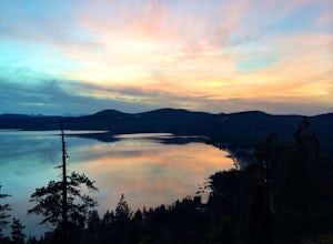
The hike up to the Historic Stateline Fire Lookout above Lake Tahoe's Crystal Bay area is somewhat of a misnomer, as the fire lookout no longer exists. Instead, the path, which follows a paved forest road, up to the site where the tower once stood will bring hikers to a panoramic viewpoint that l...
Read more
-
Nevada City, California
3.0
35.45 mi
/ 4895 ft gain
Bowman Road and Meadow Lake Road to Henness Pass is a point-to-point trail that takes you by a lake located near Alta, California.
Read more
-
Tahoe City, California
Burton Creek State Park is a moderate hike. It is a secluded peaceful hike that offers amazing views of the lake. This is a popular spot for mountain bikers, but is also ideal for hiking. Much of the trail is through the forest and there are many maps and signs pointing out the trails. The hike ...
Read more
-
Reno, Nevada
4.0
1.88 mi
/ 308 ft gain
Huffaker Park Lookout Trail is a loop trail where you may see beautiful wildflowers located near Reno, Nevada.
Read more
-
Tahoe City, California
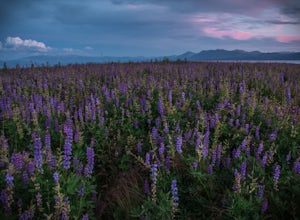
A quick walk through Lake Forest Beach in Tahoe City, California provides unparalleled opportunities to photograph expansive fields of lupine. These brilliant purple wildflowers cover the lowland shore of this public beach each summer, typically starting in mid-July through mid-August. In drought...
Read more
-
Olympic Valley, California
This hike starts at Alpine Meadows Base Camp and finishes on Alpine Meadows Road. The end point is less than a half mile from the base, and an easy walk up a slight hill.
Park at base camp and head on the trail to the far right of all of the lifts. Proceed up the trail for half a mile (this is th...
Read more
-

