Sierra County, California
Top Spots in and near Sierra County
-
Reno, Nevada
3.5
1.89 mi
/ 371 ft gain
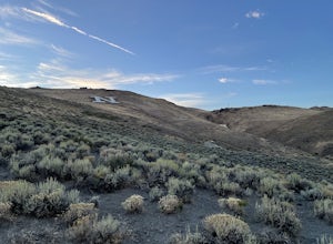
Miners Trail to The "N" is an out-and-back trail that provides a good opportunity to view wildlife located near Reno, Nevada.
Read more
-
Sierra City, California
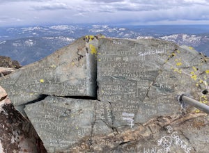
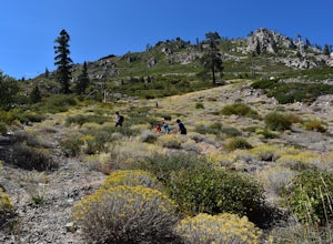
Sierra Buttes Lookout Trail is an out-and-back trail where you may see beautiful wildflowers located near Sierra City, California.
Read more
-
Reno, Nevada
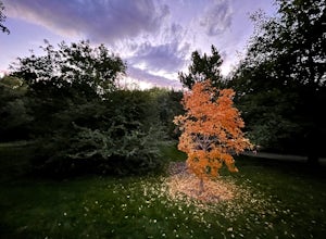
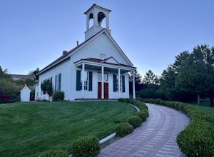
May Arboretum and Herman Pond Trail is a loop trail where you may see beautiful wildflowers located near Reno, Nevada.
Read more
-
Emigrant Gap, California
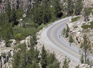
We love this 33-mile loop on old Highway 40 from Cisco Grove to Donner Lake and back. It has just about everything: a few flats, a long slow pull, rollers, a screaming downhill, a tough Alpine climb and a long, cruising downhill. Not to mention altitude. The ride starts at a little above 6,000 fe...
Read more
-
Reno, Nevada
4.0
4.42 mi
/ 220 ft gain
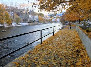
Truckee River Pathway: Downtown to Dorostkar Park is a point-to-point trail that takes you by a river located near Reno, Nevada.
Read more
-
Reno, Nevada
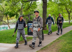
At just 121 miles long from Lake Tahoe to Pyramid Lake, the Truckee River continues to produce the largest trout in the Lower 48. Fly fisherman commonly divide the river into two reaches – East & West, and there is excellent fishing to be found right in downtown Reno all along the Truckee and...
Read more
-
Frazier Creek Road, California
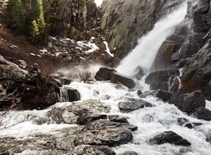
Frazier Falls is the ultimate family hike. Because the paved trail is only a mile long round trip, this trail is open to nearly anyone. Because of its relativly easy access and family friendly nature, this trail can get busy during the summer months.
To reach Frazier Falls from the town of Gra...
Read more
-
Nevada City, California
This adventure begins at the Lindsey Lake Campground parking lot (6,200 feet) where you leave your vehicle, takes you three miles up a trail rife with amazing photo opportunities and seasonal wildlife, and ends on the shore of Lower Rock Lake. Here you will find a dispersed camping site owned by ...
Read more
-
Carnelian Bay, California
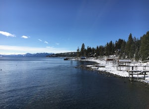
Located on the northwest side of Lake Tahoe, Carnelian Bay is a fun place to spend the afternoon. However, there is no sand at Carnelian Bay as the ground is all large rocks. It's a great place to go swimming or SUPing in the summer, and it has a pier that you can jump off. It is usually less cr...
Read more
-
Reno, Nevada
4.0
1.45 mi
/ 128 ft gain
Quail Run and Flume Trail Loop is a loop trail that takes you past scenic surroundings located near Reno, Nevada.
Read more
-
Olympic Valley, California
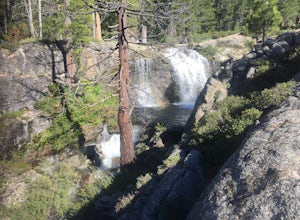
This trail has lots of elevation over a short distance, be warned! The Shirley Canyon Cascades Trail is close to Olympic Valley in the North Lake Tahoe region. Dogs are allowed on this trail if kept on leash.
Read more
-
Olympic Valley, California
5.0
3.2 mi
/ 2000 ft gain
The Thunder Mountain Trail is the perfect hike to explore the Squaw Valley Alpine Meadows. Squaw may be famed for its mountain ski runs in the winter, but when the snow melts in the summer, beautiful alpine meadows line the mountain and the ski runs turn into hiking trails! The Thunder Mountain T...
Read more
-
Reno, Nevada
4.0
6.49 mi
/ 2185 ft gain
For the first 0.6 miles the trail follows a peaceful creek, before upping the steepness as it ascends the mountain sides via multiple switchbacks. At 2.5 miles in, you reach a peak that allows you to see from Reno to Washoe City; a perfectly good place for sane people to enjoy and turn back. Howe...
Read more
-
Reno, Nevada
Nestled in a forested area on the eastern slope of the Sierra Nevada, Galena Creek Regional Park is seven miles up the Mt. Rose Highway from the intersection with I-580. Galena Creek flows through the park creating separate north and south portions of the park, and the Jones Creek Loop is a great...
Read more
-
New Washoe City, Nevada
5.0
1.69 mi
/ 289 ft gain
Chicadee Ridge is an out-and-back trail where you may see beautiful wildflowers located near Incline Village-Crystal Bay, Nevada.
Read more
-
Kings Beach, California
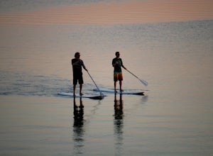
This is a super fun way to enjoy the day, get some exercise and see some really cool parts of the lake that are usually hidden. You can rent boards/ paddles at a few different places either for the day or by the hour. Bring some water, sun block and a camera...if you dare! Once the day is done ...
Read more

