Sierra City, California
Looking for the best hiking in Sierra City? We've got you covered with the top trails, trips, hiking, backpacking, camping and more around Sierra City. The detailed guides, photos, and reviews are all submitted by the Outbound community.
Top Hiking Spots in and near Sierra City
-
Reno, Nevada
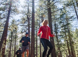
Jones Creek Loop
1.5 mi / 335 ft gainNestled in a forested area on the eastern slope of the Sierra Nevada, Galena Creek Regional Park is seven miles up the Mt. Rose Highway from the intersection with I-580. Galena Creek flows through the park creating separate north and south portions of the park, and the Jones Creek Loop is a great...Read more -
Reno, Nevada
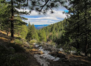
Jones Whites Creek Loop
5.09.65 mi / 2405 ft gainStarting at about 6500 ft of elevation Jones Creek Trail is a 9.2 mi loop trail starting in Galena Creek Park. The park itself is very accessible off of Mt. Rose Highway, parking is free, and there is plenty of it during a typical weekend. When entering the park simply follow the signs that say "...Read more -
Incline Village, Nevada
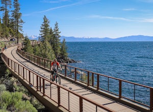
Bike or Take a Stroll along the Tahoe East Shore Trail
5.02.75 mi / 300 ft gainLake Tahoe's East Shore Trail is a wide paved walking and cycling path running between Incline Village and Sand Harbor State Park. Opened in 2019, the path lies completely separate from the road, sometimes hovering well above it on the mountainside, and other times running parallel to it on a bri...Read more -
Incline Village, Nevada
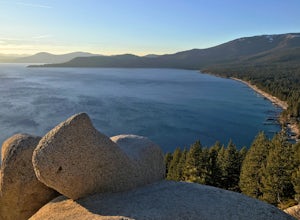
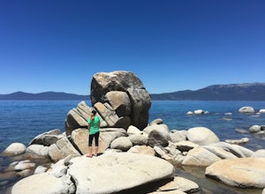
Monkey Rock
4.72.64 mi / 463 ft gainMonkey Rock is an out-and-back trail that takes you by a lake located near Incline Village-Crystal Bay, Nevada.Read more -
Reno, Nevada
Quail Run and Flume Trail Loop
4.01.45 mi / 128 ft gainQuail Run and Flume Trail Loop is a loop trail that takes you past scenic surroundings located near Reno, Nevada.Read more -
Tahoma, California
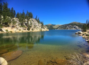
Backpack to Crag Lake
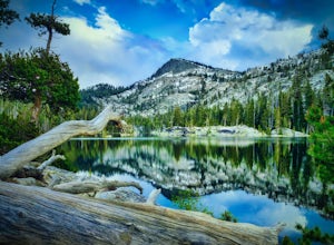
4.011.1 mi / 1220 ft gainDay 1:This trip is a great early season trip while you are waiting for the snow to melt in the high country or it could be a good first backpacking trip because of its proximity to the trailhead and the fact that it's a relatively easy hike. Also, you get to camp by a beautiful lake with a drama...Read more -
Reno, Nevada
Anderson Park Loop
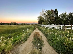
4.01.64 mi / 92 ft gainAnderson Park Loop is a popular trail for walking or running tucked away in a quiet neighborhood near Reno, Nevada. The trail loops around a pasture and connects up to Bartley Ranch for a longer or more scenic route. Take in scenic views of the surrounding mountains, but there may be some traf...Read more -
New Washoe City, Nevada
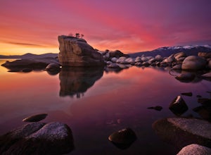
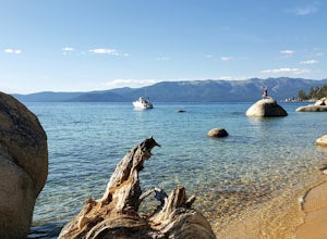
Photograph Bonsai Rock
5.0Bonsai Rock is a popular attraction for photographers as it is a unique boulder with tiny trees growing out of it, enclosed next to the shoreline. This makes it a beautiful place to enjoy a scenic sunset, as well as play with some long exposure photography.It's located on the east side of Lake Ta...Read more -
Penn Valley, California
Fairy Falls Trail to Shingle/Beale Falls
4.14.87 mi / 535 ft gainStart at the Fairy Falls trailhead in Spenceville Wildlife Area Field Trial Grounds in Penn Valley (careful on the bumpy roads in). From the parking lot, cross a small bridge and make a right onto a dirt road. After about a mile you will follow the road to the right and continue through the gate....Read more -
Reno, Nevada
Huffaker Park Lookout Trail
4.01.88 mi / 308 ft gainHuffaker Park Lookout Trail is a loop trail where you may see beautiful wildflowers located near Reno, Nevada.Read more -
Carson City, Nevada
Relax at Tahoe's Chimney Beach
5.02.2 miLocated on the East Bank of Lake Tahoe along Highway 28, Chimney Beach is a great alternative to the more popular and heavily used beaches which can be quite a challenge to gain access due to the parking limitations during the busy summer months and on weekends.From the parking area on the east s...Read more -
Carson City, Nevada
Marlette Lake via Chimney Beach Trailhead
4.05.96 mi / 1713 ft gainThis trail starts right off NV28 between Chimney Beach and Great Tahoe Beach. Around 30 minute drive from South Lake Tahoe and the CA/NV border, we arrived close to 10am with plenty of parking available. While it seemed the trail was heavily used by mountain bikes, we encountered zero during our ...Read more -
Carson City, Nevada
Hike to Secret Cove
5.00.9 mi / 209 ft gainTake a short little hike down from HWY 28 to Secret Cove to relax on the beach on sunbathe on rocks. The water is incredibly clear and has different shades of turquoise. There are many rocks to climb on and the water is great for swimming. It gets crowded early, and is a nude beach, so plan accor...Read more -
Carson City, Nevada
Secret Harbor / Whale Beach
4.01.67 mi / 384 ft gainSecret Harbor / Whale Beach is an out-and-back trail that takes you by a lake located near Carson City, Nevada.Read more -
Reno, Nevada
Rattle Snake Mountain
4.01.49 mi / 371 ft gainRattle Snake Mountain is an out-and-back trail that takes you past scenic surroundings located near Reno, Nevada.Read more -
Doyle, California
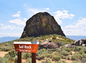
Camp at the Fort Sage OHV Area
The recreation area consists of approximately 29,000 acres of public land that is managed primarily for off highway vehicle use and winter deer range. Vehicle use within the recreation area is limited to designated roads and trails to ensure that the two primary uses remain compatible throughout ...Read more

