Santa Ysabel, California
Looking for the best running in Santa Ysabel? We've got you covered with the top trails, trips, hiking, backpacking, camping and more around Santa Ysabel. The detailed guides, photos, and reviews are all submitted by the Outbound community.
Top Running Spots in and near Santa Ysabel
-
Hemet, California
Hike South Fork Trail
5.4 mi / 1056 ft gainBegin by following the unsigned but visible trail on the south side of the turnout. You climb steadily through bushes and past granite boulders. At half a mile, you pass over to the western slope of the hill where the trail bends southeast, providing your first look of the river valley far below....Read more -
La Quinta, California
Boo Hoff Trail
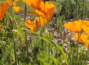
12.7 mi / 2323 ft gainBoo Hoff Trail is a loop trail where you may see wildflowers located near La Quinta, California.Read more -
Jamul, California
Hike the Hollenbeck Canyon Trail
4.6 mi / 626 ft gainThe trail is wide and well maintained. The first mile of the trail is well shaded by oak trees. You'll see stunning rocky peaks and rolling green hills as the trail continues. There are three creek crossings to be aware of. Cleveland National Forest is dog friendly, but bring a leash! Hunting is ...Read more -
Palm Springs, California
Indian Canyon West Fork Trail
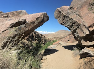
5.3 mi / 1545 ft gainIndian Canyon West Fork Trail is a strenuous out-and-back trail located near Palm Springs, California.Read more -
Palm Springs, California
Indian Potrero Loop Trail
8.67 mi / 1247 ft gainIndian Potrero Loop Trail is a strenuous loop trail located near Palm Springs, California.Read more -
Encinitas, California
Encinitas Coastal Rail Trail
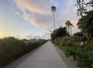
2.61 mi / 33 ft gainThe Cardiff/Encinitas Coastal Rail Trail (part of the longer, ongoing project to eventually run 44 miles between Oceanside and San Diego) is a beautiful, mellow, and well-maintained pathway that runs from the corner of Chesterfield Dr. & San Elijo Ave. (right across the street from the Patago...Read more -
San Diego, California
Hike the Rose Canyon Trail
3.58.9 mi / 725 ft gainThis hike is open year-round but is especially beautiful in the spring when the wildflowers are blooming and the spring is running. This trail offers good entry level mountain biking, with mostly flat well maintained trails and a couple of challenging but doable hills.Read more -
Encinitas, California
Grandview Beach
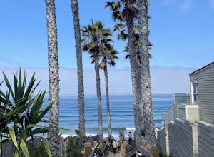
5.03 miGrandview Beach is a great spot for surfing when conditions line up (see Surfline). it's also an ideal spot to kick back and relax (bring your whole fam, dogs too). If you're looking for a little fitness, you can start at either Grandview Beach and head south along the beach to the San Elijo la...Read more -
Palm Springs, California
Andreas Canyon
5.01.03 mi / 154 ft gainAndreas Canyon in Indian Canyons is located very close to Palm Springs in the Agua Caliente band of Cahuilla Indians Reservation. It is one of the few places with abundant shade and running fresh water in an otherwise dry desert landscape. Enjoy a longer hike to a waterfall (Seven Falls) or stay ...Read more -
San Diego, California
Beach Trail
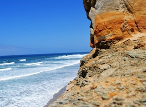
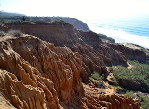
5.01.43 mi / 259 ft gainI'm stoked for those of you to find this adventure! Torrey Pines is home to a species of tree that is one of the most rare native pines in the United States. Below I have directions on how to get to the trailhead as well as the parking lot to park for the hike. There is a charge to get into the...Read more -
San Diego, California
Razor Point Trail
1.32 mi / 240 ft gainRazor Point Trail is an out-and-back trail that takes you past scenic surroundings located near La Jolla, California.Read more -
Chula Vista, California
Hike Mother Miguel Mountain
5.04.5 mi / 977 ft gainAt the summit, your work will be rewarded with stunning views from downtown San Diego all the way to Mexico. You can also see the surrounding mountain peaks and the Sweetwater Reservoir. This is a great hike to do at sunset - but bring a headlamp / flashlight for the hike back down. This trail i...Read more -
Palm Springs, California
Araby and Berns Trail Loop
4.76 mi / 1293 ft gainAraby and Berns Trail Loop is a loop trail that takes you past scenic surroundings located near Palm Springs, California.Read more -
San Diego, California
Balboa Park Loop
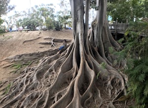
4.64.34 mi / 226 ft gainThe Balboa Park Trail offers the chance to see wildlife and is open year-round. The trail is shared by runners, families, hikers, and bikers. Dogs are able to use the trail but must be kept on leash. There is a dog park you will pass by.Read more -
Oceanside, California
Bike or Skate the Strand
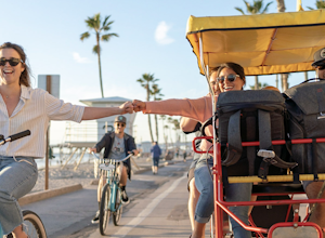
4.01 mi / 0 ft gainOceanside's iconic Strand is a 1 mile long ocean-front road that is perfect for cycling, walking, and running. At various points it is one way or pedestrian only, and is a must-do for any visitors to Oceanside.From the north The Strand begins at Breakwater Way and heads south underneath The Ocean...Read more -
Palm Springs, California
Caramba Overlook
12.97 mi / 2779 ft gainCaramba Overlook is an out-and-back trail that provides a good opportunity to see wildlife located near Palm Springs, California.Read more


