Santa Monica, California
Looking for the best chillin in Santa Monica? We've got you covered with the top trails, trips, hiking, backpacking, camping and more around Santa Monica. The detailed guides, photos, and reviews are all submitted by the Outbound community.
Top Chillin Spots in and near Santa Monica
-
Anaheim, California
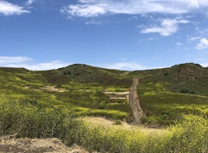
Oak Canyon Bluebird and Wren Trail
1.42 mi / 187 ft gainThe Oak Canyon Bluebird and Wren Trail features beautiful wildflowers and is accessible year-round. The trail is well kept and offers lots of shady spots. The first portion of this hike will take you up a hill, and then to a fork. One direction will take you around a reservoir and another will ta...Read more -
Santa Paula, California
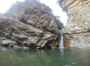
Santa Paula Punch Bowls
3.66.5 mi / 1037 ft gainThis is a 6.5 mile trail, out and back. Parking is available along Ojai St, and the trail starts at the entrance of Thomas Aquinas College. Follow the paved road that goes around the school, until you reach a fork on the road, then stay right. The trail will take you through Ferndale Ranch, just ...Read more -
Newport Beach, California
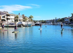
Stand Up Paddle around Balboa Island, Newport Beach
5.0Balboa Island, located in Newport Bay, is a fun destination on its own, but add a relaxing SUP to the mix and you’ve got yourself an adventure. There are two ways to get onto island: cross the Marine Avenue Bridge, or take the Balboa Island Ferry (directly inland from Balboa Pier and south of New...Read more -
Newport Beach, California
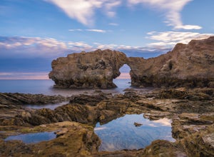
Exploring the Arches at Little Corona del Mar
4.9Little Corona del Mar Beach is a secluded beach located on Poppy Avenue across Ocean Boulevard in Corona del Mar. Known as one of the less crowded beaches in the area, this spot is the perfect place to chill for the day or photograph a sunset. You will find plenty of free street parking in the ne...Read more -
Avalon, California
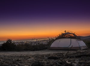
Camp at Hermit Gulch on Catalina Island
3.9 mi / 1206 ft gainThe Avalon port in Catalina is most easily accessed through the Catalina Express leaving from Dana Point, Newport Beach or Long Beach. The Hermit Gulch campsite is only a 20 min walk from the boat and is well run with restrooms, showers... etc. They also sell anything you might have forgotten for...Read more -
Ventura, California
Bike the Ventura Promenade
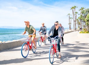
0.5 mi / 0 ft gainThe Ventura Promenade is a .5 mile long biking and walking trail that runs from the Ventura Pier to Sufer's Point, eventually connecting to the Ventura River & Ojai Bike Trail. It is also part of the the larger "Omer Rains Trail" which runs some 3.5 miles to the south through Buenaventura Sta...Read more -
Mount Baldy, California
Sunset Peak via South Trailhead
4.07.16 mi / 1493 ft gainIn order to get to the Sunset Peak Trailhead, utilize Google Maps to take you to the location provided. There is very little parking (only a small pull off along Glendora Ridge Road), but this trail is rarely traveled, so there should be enough space regardless of the time you decide to hike! Jus...Read more -
Claremont, California
Stoddard Canyon Falls (Baldy Slide Waterfall)
0.74 mi / 174 ft gainLocated near the Angeles National Forest, it's a short hike, approx. 0.75 miles roundtrip and just about anybody can go. To get there, input the intersection of Mt. Baldy Rd. and Barrett Stoddard Truck Trail into your GPS. This will bring you to a small dirt parking lot. The trailhead starts a...Read more -
Claremont, California
Stoddard Peak Trail
4.05.93 mi / 1129 ft gainOn the way to Mount Baldy and within the trail system of the San Gabriel mountain range is the Stoddard Peak Trail. The Stoddard Peak Trail, which is basically the old Barrett-Stoddard fire road, goes through the Stoddard Canyon into Stoddard Flat, and then eventually leads to Stoddard Peak. The ...Read more -
Ventura, California
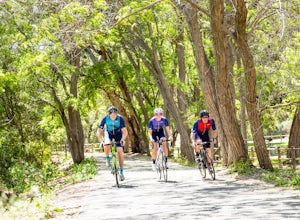
Bike the Ventura, Santa Paula, and Ojai Loop
48.8 mi / 2081 ft gainThe Ventura - Ojai - Santa Paul loop is a classic half-century loop throughs some of the most beautiful cycling roads on the Central Coast. Beginning in Ventura and heading on the off-road (but paved) Ventura / Ojai trails, this loop then heads into downtown Ojai before following Ojai Valley Road...Read more -
Ventura, California
Bike the Rincon Trail
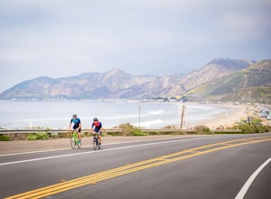
5.028.4 mi / 720 ft gainThe Rincon Trail between Ventura and Santa Barbara is part of the wonderful Pacific Coast Bike Route, and features two-wave paved cycling lanes with beautiful views up and down the central coast. There are numerous places to stop along the way for food and relaxing, including the great seaside to...Read more -
Lancaster, California
Antelope Valley Poppy Reserve
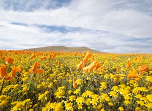
5.02 mi / 900 ft gainIf you're going during wildflower season, start your adventure at the visitors center at the end of 150th St. W. Parking in the lot outside the visitors center is $10, but there is ample street parking that is free. In the visitors center you can read more about the reserve, plan your hike, and s...Read more -
Laguna Beach, California
El Moro Canyon Trail to Lower Moro Campground
3.56.37 mi / 997 ft gainLocated off of Pacific Coast Highway in Laguna Beach is Crystal Cove State Park. There are three primitive sites located in Crystal Cove: Deer Canyon, Upper Moro, and Lower Moro. The site I stayed at was Lower Moro campground. All three of these sites require the backpacker to hike everything in...Read more -
Laguna Beach, California
El Moro Canyon Trail
5.04.94 mi / 814 ft gainThe trail features a waterfall and is open year-round, but is best used in the spring. Remember to bring $15 cash for the parking fee. The Laguna Beach trail is shared by trail runners, mountain bikers, hikers, and the occasional horseback rider. Dogs are not allowed in Crystal Cove State Park.Read more -
Ventura, California
Bike the Ventura River and Ojai Bike Trails
32.6 mi / 1030 ft gainThe Ventura River and Ojai Valley Trail, effectively the same trail, is a gorgeous 32 mile trail that runs from Seaside Park in Ventura to downtown Ojai. It runs along and across the Ventura River and through the Ventura Canyon, with views up and down numerous side canyons and ravines. The trail ...Read more -
Ventura, California
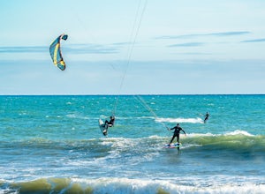
Kiteboard Surfer's Point
Surfer's Point aka Ventura Point is a well-known kite boarding/surfing (and surfing) spot due to its (when conditions are right) great wave quality, favorable wind direction (sideshore with occasional side-off), friendly locals, rider capacity, and a nearby point break with. When conditions are e...Read more


