Santa Cruz, California
Santa Cruz, California has many great spots for outdoor adventurers. With its stunning beaches, lush parks, and scenic trails, there is something for everyone. From kayaking and paddleboarding to beach volleyball and surfing, there are plenty of water activities to enjoy. For those who prefer to stay on land, there are plenty of trails to explore, offering stunning views of the Pacific Ocean and the Santa Cruz Mountains. Visitors can also explore the nearby redwood forests and take a stroll along the Area Santa Cruz Boardwalk. For a unique experience, take a whale watching tour or a boat ride to the Monterey Bay National Marine Sanctuary. There are also plenty of must-visit attractions in and near the area, such as the Santa Cruz Wharf, Natural Bridges State Beach, and the Mystery Spot. With so many options, Santa Cruz is the perfect destination for those seeking an unforgettable outdoor experience.
Top Spots in and near Santa Cruz
-
Livermore, California
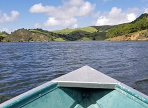
Paddle Lake Del Valle
4.0Lake Del Valle is a reservoir located in Livermore, California. The lake has boat motor boats, pedal boats, patio boats, canoes, and row boats available for rent. There is a dock and rental house in the marina.The lake is also a popular destination for picnics, barbecues, and camping. Parking fi...Read more -
Moss Beach, California
Cypress Tree Tunnels at Moss Beach
4.50.79 mi / 105 ft gainThe Cypress Tree Tunnels are a quick jaunt from San Francisco (22 miles) and make for a great half-day trip. Getting here depends on traffic, but 30 minutes from the center of the city is doable. Parking is relatively easy. You can either park at the south end of the area at the Cypress Cove entr...Read more -
Livermore, California
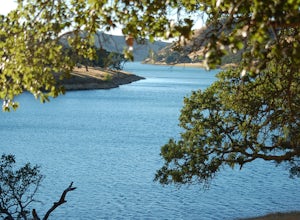
Del Valle Regional Park
4.0Looking for a quick summer escape filled with stand up paddling, canoeing, fishing, hiking, and picnics? Look no further than Del Valle Regional Park. Consistently considered one of the best campgrounds in the Bay Area, the centerpiece of Del Valle is a 5-mile long lake that allows swimming, fish...Read more -
Burlingame, California
Hike the Ed Taylor Loop Trail in Mills Canyon
4.01.4 mi / 300 ft gainThis hike can be done at any time of year. Hiking in winter and spring means that many varieties of wildflowers will be present, and the creek will have much more water. Summer and fall mean higher temperatures and drier conditions, but the hike is still a pleasant experience. Begin the hike at t...Read more -
Moss Beach, California
Fitzgerald Marine Reserve
5.00.89 mi / 46 ft gainLocated beside a residential neighborhood, Fitzgerald Marine Reserve offers a rare glimpse of life in the northern California intertidal zones. There are parking spaces and restrooms available, as well as ranger-led guided tours. Be sure to check the tide charts and go during low tide (preferab...Read more -
Livermore, California
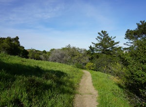
Hike the East Shore Trail Loop
3.7 mi / 1040 ft gainThis hike is best done during the spring, fall, or winter when moderate temperatures make the hike more comfortable. Be warned that this hike has a large elevation change despite being less than 4 miles. Starting at the Arroyo Road Staging Area, take the East Shore Trail east, heading towards a s...Read more -
Pleasanton, California
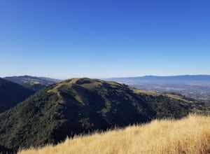
Courdet Trail and Schuhart Trail
5.24 mi / 1122 ft gainThis is a 5+ mile out and back trail through the hills in the South Bay. The beginning of the hike has a steeper incline and then becomes more gradual later on. There is a beautiful views of the South Bay that are enjoyable in the day, but are fantastic in the evening. Some areas of the trail hav...Read more -
Half Moon Bay, California
McNee Ranch to Planet of the Apes
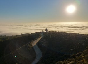
4.88 mi / 1427 ft gainMcNee Ranch to Planet of the Apes is a 4.8 mile trail located near Montara State Beach that offers ocean views when it is not too cloudy. You can get amazing views when you hike up above the clouds. This hike follows one of the main trails up the mountain, but there are many smaller trails to e...Read more -
Big Sur, California
Camp at Andrew Molera State Park
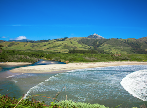
4.51 miAndrew Molera is about 27 miles south of Carmel and one of the first State Parks you'll hit heading down the coast. There will be signs for the Park as you approach and the main parking lot is only a couple hundred yards from Hwy 1. There are a number of hiking trails and activities to do around ...Read more -
Big Sur, California
Hike the Creamery Meadow Trail to Molera Beach
2 miEntrance to the parking lot is $10 per car, and once you get in be sure to use the restroom before you head for the trail, since you will likely spend a good amount of time out there.Look for the sign that says Creamery Meadow Trail. You'll know it's right when the very first thing you'll need to...Read more -
Big Sur, California
Hike the Andrew Molera State Park Loop
4.58.8 mi / 1100 ft gainThe loops starts at the Andrew Molera State Park parking lot (4.5 miles north of the entrance to Pfeiffer Big Sur State Park along Highway 1). Begin by crossing the Big Sur River using the seasonal bridge. If the bridge has been removed, you will need to cross the water by foot. Usually the water...Read more -
Big Sur, California
Hike the East Molera Trail
3.2 mi / 1390 ft gainHoused in Andrew Molera State Park, the East Molera Trail is easily accessible from Highway 1 with parking and restrooms available to hikers. A $10.00 entry fee is required but also provides entrance to Pfieffer Big Sur State Park just a few miles down the road.The trail head is located east of t...Read more -
Pacifica, California
Montara Mountain Trail
5.06.77 mi / 1900 ft gainMontara Mountain Trail is a loop trail that takes you through a forest out to ocean views at the top of Montara Mountain. This hike located near Pacifica, California. and can be accessed from Highway 1 as well. If you're looking to do a similar loop hike from the coast, consider Montara Mountain ...Read more -
Half Moon Bay, California
Gray Whale Cove Loop
5.01.22 mi / 518 ft gainStarting at the parking lot adjacent to Gray Whale Cove State Beach, proceed to the start sign indicating "Grey Whale Cove Trail". GWCT is a fun brisk hike with slight elevation gain that should be easy enough to take a small group or even children to. Take note of the tight spaces you may encou...Read more -
Half Moon Bay, California
Gray Whale Cove Trail
4.52.23 mi / 367 ft gainGray whale cove trail is a splendid, short, and easy hike for the entire family with beautiful ocean views. The starting point is conveniently located near a parking lot that accesses Montara State Beach. From the south end of the parking lot, follow the trail up through the coastal scrub. Within...Read more -
Half Moon Bay, California
Montara Mountain North & Middle Peaks Loop
4.37.22 mi / 1929 ft gainNOTE: as of 2019, North Peak has been fenced off around the installation of a radio tower and weather station. Additionally, the summit has been found to be a habitat for the endangered San Bruno elfin butterfly. The Gray Whale Cove State Beach is a popular seaside trail that’s just 20 minutes s...Read more

