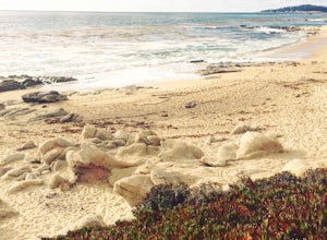
Santa Cruz, California
Santa Cruz, California has many great spots for outdoor adventurers. With its stunning beaches, lush parks, and scenic trails, there is something for everyone. From kayaking and paddleboarding to beach volleyball and surfing, there are plenty of water activities to enjoy. For those who prefer to stay on land, there are plenty of trails to explore, offering stunning views of the Pacific Ocean and the Santa Cruz Mountains. Visitors can also explore the nearby redwood forests and take a stroll along the Area Santa Cruz Boardwalk. For a unique experience, take a whale watching tour or a boat ride to the Monterey Bay National Marine Sanctuary. There are also plenty of must-visit attractions in and near the area, such as the Santa Cruz Wharf, Natural Bridges State Beach, and the Mystery Spot. With so many options, Santa Cruz is the perfect destination for those seeking an unforgettable outdoor experience.
Top Spots in and near Santa Cruz
-
Monterey, California
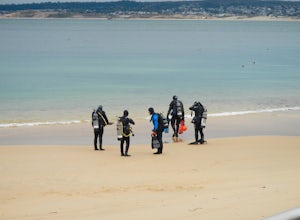
Scuba Dive Breakwater Cove
Located near Cannery Row, San Carlos Beach is home to Breakwater Cove. This is a great place for beginner scuba divers to practice their diving, get open water certified, and do their first ocean dives. San Carlos Beach is home to a large colony of sea lions, and also features a reef, anemones...Read more -
Sand City, California
Bikepack Highway 1: Monterey to San Luis Obispo
130 mi / 9000 ft gainPlease be aware that this is NOT a route for beginning cyclist. It is a very hilly route and you will be sharing the road with cars for the entire route, the shoulder is sometimes very slim. This should not scare you from doing the trip, just be aware of the risks and dangers you might be facing....Read more -
Monterey, California
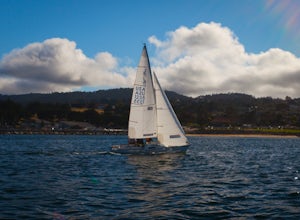
Sail on Monterey Bay
Few places along the California coast are perfectly suited for a day of sailing. While San Diego, Santa Barbara, Santa Monica, Long Beach, San Francisco, and Catalina Island offer sailing adventures, none of them offer wide open Pacific waters without dangerous commercial traffic to navigate. The...Read more -
Santa Clara County, California
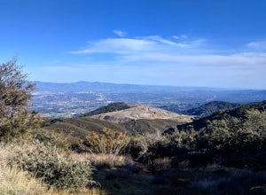
Black Mountain via Rhus Ridge Trail
9.75 mi / 2992 ft gainJust outside of Los Altos is a very long ridge of mountains, one of which is Black Mountain. This is a very dry hike, with no tree canopy, so it can get very hot! Be aware that this can make the hike feel a lot more difficult with the sun beating down on you. Follow Rhus Ridge Trail to Black Mo...Read more -
Pescadero, California
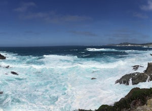
Catch a Sunset at Bean Hollow State Beach
5.0There are a bunch of places to photograph this beach if you head north on the trail that runs along the beach.There is parking at the beach but it can fill up quickly!The only warning you need is about the tide. Make sure you are watching it the entire time because it can creep up on you and will...Read more -
Del Monte Forest, California
Explore Highway 1 from Carmel to Big Sur
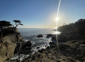
4.6Being from the Central Coast, every time I visit the area I like to do the same trip - Simply because it is amazing. The trip starts along 17 mile drive located in Carmel. From the road, you see the Central Coast icon, the Lone Cypress. Being one of the most photographed trees in North America, i...Read more -
Los Altos, California
Park Day at Foothills Park
1.7Disclaimer: Foothills Park requires proof of residence in Palo Alto or being accompanied by a resident of the city. Learn more here.Foothills Park is 2.7 miles west of 280 after exiting Page Mill. After exiting you take a short scenic drive up the hill and come to the park entrance on your right...Read more -
Del Monte Forest, California
17-Mile Drive to Carmel Road Ride
5.07.75 mi / 312 ft gain17-Mile Drive to Carmel Road Ride is a point-to-point trail where you may see wildflowers located near Carmel-by-the-Sea, California.Read more -
Carmel-by-the-Sea, California
Catch a Sunset at Carmel Beach
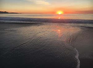
4.7It’s a dream of mine to live in Carmel-by-the-Sea. You might recognize Carmel because Clint Eastwood was the mayor from 1986 to 1988. An idiosyncrasy you may not know about Carmel is the fact that there are no street addresses on any house in Carmel. Everyone gets their mail at the post office...Read more -
Palo Alto, California
Hike the Arastradero Preserve Loop
3.04.5 mi / 600 ft gainGetting There: From Hwy 280, take the Page Mill Road exit and head West on Page Mill Road, away from Downtown Palo Alto (if you're taking 101, exit on Oregon Expressway). Then turn right on Arastradero Road. There will be a small sign indicating the dirt parking lot on the eastern side of the str...Read more -
Portola Valley, California
Sunrise Hike at Windy Hill
5.0There are a few options to this hike. Usually I would recommend parking in the lot on Portola Road, but because the preserve doesn't open until 30 minutes before sunrise, it's best to park up on Skyline Boulevard (Highway 35). There are two places to park up on Skyline, but the main parking lot i...Read more -
Portola Valley, California
Hike the Windy Hill Loop
4.37.2 mi / 1400 ft gainThis 7.2-mile loop starts by heading out of the parking lot and onto the Spring Ridge Trail. Head Southeast On Spring Ridge Trail until you connect with Hamms Gulch Trail. When you jump on Hamms Gulch, head southwest for ~3.4 miles as you circle the far end of the OSP. At this point, you will con...Read more -
Salinas, California
Mountain Bike at Fort Ord National Monument
5.0Fort Ord National Monument is a fantastic place to cruise around on your mountain bike, whether you are a beginner or an experienced rider looking for flowy trails to cruise on. Access is easy from the highway and there is ample room in the parking lot even on busy days. Dozens of trails wind th...Read more -
Morgan Hill, California
Backpack to Coit Lake
5.026 miThis trail can be started from Coe Headquarters or Hunting Hollow Trailhead. The trail from Coe HQ is 2 miles longer, almost all elevation but provides beautiful views of the surrounding mountains. These directions will be starting from Coe HQ.Follow the loop around the parking area to the backpa...Read more -
Morgan Hill, California
Backpack to Mississippi Lake
5.026.4 mi / 3600 ft gainIf you're tired of trying and failing to get reservations for backcountry camping around the bay area, then Henry Coe State Park is the perfect place to visit. No reservations need to be made prior to the trip. All you need to do is get to the HQ on the morning of your trip, get your permits and ...Read more -
Carmel-by-the-Sea, California
Hike along the Carmel River Beach Trail
1 mi / 100 ft gainKnown as "Ribera Beach" by locals, this stretch of land nestled between Carmel River State Beach and Monastery Beach is not to be missed! The trails are easy to get to and can be accessed by 4 locations. The first entrance is on Highway 1 at the Bay School (between Ribera Road and Monastery Beach...Read more

