Sanger, California
Looking for the best chillin in Sanger? We've got you covered with the top trails, trips, hiking, backpacking, camping and more around Sanger. The detailed guides, photos, and reviews are all submitted by the Outbound community.
Top Chillin Spots in and near Sanger
-
Friant, California
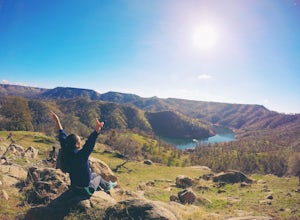
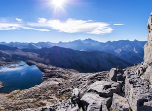
Pincushion Peak
2.49 mi / 1043 ft gainHead North on Friant Rd. It will begin to head East, becoming Millerton Rd. Stay on Millerton Rd for 4.2 mi. Turn left onto Sky Harbor Rd (street JUST before Table Mountain Casino). Follow Sky Harbor Rd for 5.8 miles to the end of the road. Parking is available along the road. There are port a po...Read more -
Hume, California
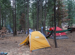
Camp at Sunset Campground in Kings Canyon National Park
Sunset Campground is minutes away from the King's Canyon National Park entrance. There are a total of 150 sites (2 group campsites) at this campground which can be reserved here. There are several bathroom, water faucets and even an amphitheater. Each campsite comes with a bear locker, picnic tab...Read more -
Hume, California
Camp at Princess Campground
Situated just off the stretch of road that connects the two sections of Kings Canyon, Princess Campground is the perfect home base for exploring both Kings Canyon and Sequoia National Parks. In addition to its central location, it takes reservations, so you can book a roomy spot well in advance o...Read more -
Shaver Lake, California
Balsam Forebay
4.01.05 mi / 62 ft gainAccess to the forebay starts at the trail head from the parking lot 6,700 ft up, also from the parking lot there is access to two different sets of boulder patches separate from the ones encountered along the hike in. Hike Start the 1 mile out and back hike from the parking lot following the t...Read more -
Hume, California
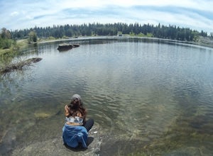
Hike and Fish Hume Lake
2.73.5 mi / 100 ft gainThis spot is less than four hours from the Bay Area and offers everything you would ever want to do in the outdoors. The interesting thing about Hume Lake is that it is actually a Middle School and High School camp in the Summer and Winter. That being said, it is not the place to go if you are lo...Read more -
Tulare County, California
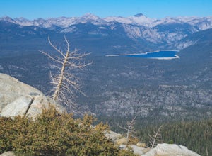
Hike to the Summit of Big Baldy, Kings Canyon National Park
4.55 mi / 650 ft gainThis short and easy trail to the summit of Big Baldy in Kings Canyon National Park is not to be missed if you are in the area.The trail winds through forest and boulders as it climbs the north shoulder of Big Baldy. When you think you have reached the end, and you see people sitting down with the...Read more -
Shaver Lake, California
Camp at Voyager Rock Campground
4.0The paved road ends at the Maxson Trailhead parking lot on the SE side of Courtright Reservoir. The adventure starts with a glance to the left, down a rock-strewn dirt track that leads off further into the wilderness. You're wondering, "Is that the trail?" and "Do I dare?"The Dusy-Ershim Trail of...Read more -
Three Rivers, California
Hike Little Baldy
5.03.5 mi / 700 ft gainA short hike with impressive views of Sequoia National Park, the Little Baldy trail is the less touristy version of Moro Rock. When we hiked it on a beautiful Sunday morning in the summer, we had the entire summit to ourselves. Even if other hikers had been up there, it would have still felt em...Read more -
Sequoia National Park, California
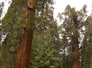
Hike through the Giant Forest in Sequoia NP
5.02 mi / 154 ft gainTake a drive to Sequoia National Park and take in the beautiful views of the second oldest national park. If you go in the winter or early spring time, be sure to check the weather beforehand and be prepared for the cold.If you are an avid traveler to national parks, I'd recommend that 2 weeks b...Read more -
Sequoia National Park, California
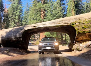
Drive through Tunnel Log
Tunnel log is a massive fallen sequoia across the middle of the road, which is a great photo opportunity for visitors of the national park. The mammoth tree fell over in 1937, but a year later, a car tunnel was carved in the middle of its trunk so vehicles could still pass through. Although the...Read more -
Sequoia National Park, California
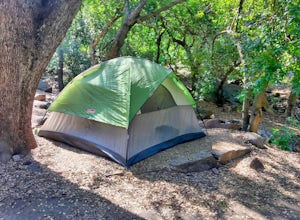
Camp at Buckeye Flat in Sequoia National Park
Entering Sequoia National Park at the Ash Mountain Entrance near the small city of Three Rivers, follow Highway 198 (Generals Highway) through the park until you see a sign for Buckeye Flat Campground off to the right. The campground sign is immediately after you see signs for Hospital Rock. Foll...Read more -
Sequoia National Park, California
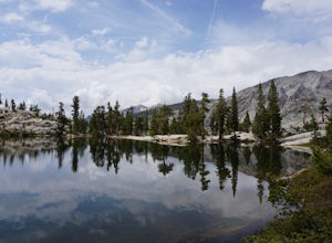
Hike to Pear Lake via the Lakes Trail
5.012.4 mi / 2300 ft gainThe Lakes Trail to Pear Lake can be done as either an overnight stay or a day hike. For overnight, you'll need to get a permit but there are beautiful camping spots available at both Emerald Lake and Pear Lake. As a day hike, plan to spend all day since you'll undoubtedly pause at each lake for...Read more -
Sequoia National Park, California
Backpack to Big Bird Lake & Moose Lake
30 mi / 8000 ft gainThis trip requires a wilderness permit. You can get one at the Lodgepole Visitor Center where you can also rent a bear canister or use the bathroom before heading out.Wolverton Trailhead -> Big Bird Lake (~12 miles)The start of the trail is on the left side of the parking lot and towards the m...Read more -
Lakeshore, California
Hike to White Bark VIsta
2.3 mi / 462 ft gainA short 1 mile hike in from Kaiser Pass will lead you to the top of a ridge line with incredible views toward the east. There are two pit toilets located at the top of Kaiser Pass. If you have a high clearance, 4x4/AWD vehicle you can probably drive to this location. (I made it up here in a stock...Read more -
Oakhurst, California
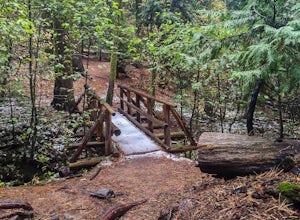
Hike the Shadow of the Giants Trail
4.01.1 mi / 85 ft gainThe Shadow of the Giants National Recreation trail is an amazing 1.1 mile self-guided hike through the heart of Nelder Grove. Take Hwy 41 north from Fresno; continue thru Oakhurst to Sky Ranch Road (6S10 or Forest Road 10) travel approx. 5 miles to Nelder Grove, when you reach the camp area take ...Read more -
Oakhurst, California
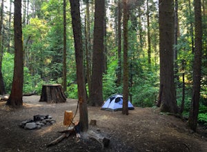
Camp at Nelder Grove Campground in Sierra National Forest
0 mi / 0 ft gainSites are located along Willow Creek with plenty of shape. Right out of the campground you can hike nearby Bull Buck Trail and discover the giant sequoia trees. This is a first-come first-serve campground so arrive early.Directions: Take Hwy 41 north from Fresno; continue thru Oakhurst to Sky Ran...Read more

