Saint Helena, California
Looking for the best photography in Saint Helena? We've got you covered with the top trails, trips, hiking, backpacking, camping and more around Saint Helena. The detailed guides, photos, and reviews are all submitted by the Outbound community.
Top Photography Spots in and near Saint Helena
-
Jenner, California
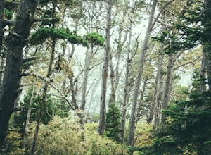
Hike the North Trail to the Pygmy Forest
4 mi / 800 ft gainSalt Point State Park, about 90 miles north of San Francisco, features rugged, windswept coastline and dramatic forests of cypress, pine and redwoods. The North trail is a great way to experience much of the inland portion of the park including the unique Pygmy Forest, named for the stunted trees...Read more -
Mill Valley, California
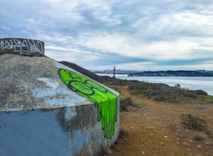
Explore WWII Ruins on Point Bonita
4.30.25 mi / 200 ft gainAll throughout the Marin Headlands are WWII-era bunkers, batteries and ruins, including a complex on the hillside above the Point Bonita Lighthouse that provide amazing views of San Francisco, the Golden Gate, and the north coast.Drive out to the parking lot for the Point Bonita Lighthouse in the...Read more -
San Francisco, California
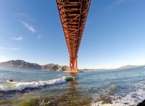
Surf Under The Golden Gate at Fort Point
4.2This has to one of the coolest spots to surf in the world. The break itself is a left point that requires a healthy swell to wrap into the bay, and only gets good on occasion. But when it's good, it can be an experience you'll never forget.It's important to note, that when it's good, this is not ...Read more -
San Francisco, California
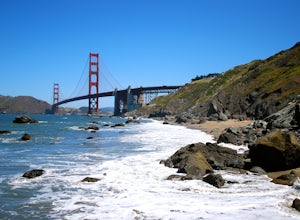
Batteries to Bluffs Trail
4.82.33 mi / 417 ft gainThe Batteries to Bluffs Trail in the Presidio is a true gem of San Francisco. It has everything you could want in a hike: a sea-side path along the ocean, relatively easy parking, gorgeous views of the Golden Gate Bridge, and a secluded beach that's perfect for picnics, sunbathing, and enjoying t...Read more -
San Francisco, California
Take in a Sunset on Marshall's Beach
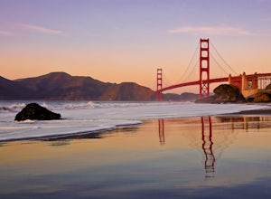
4.8If you're looking for one of the best views of the Golden Gate Bridge, Marshall's Beach gives you just that without the tourist crowds of Baker Beach.This small and hidden beach offers a narrow stretch of sand for those looking to throw a frisbee around or just hang out with friends. As it's tuck...Read more -
San Francisco, California
Catch a Sunrise at Ina Coolbrith Park
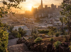
5.0This tucked away neighborhood gem is less than a square block in size, but offers some of the best views of San Francisco. After a quick, but steep, 5 minute walk, you'll be rewarded with incredible views of: the city skyline, Coit Tower, Alcatraz, and the Bay Bridge. There are a few benches avai...Read more -
Oakland, California
East & West Ridge Loop
4.53.47 mi / 833 ft gainTucked away in the hills of Oakland, you will find one of the homes of California's Coastal Redwoods. Created by a unique geographical circumstance, this forest breathes winds funneled through the Golden Gate across the bay, which created environment opportune for Redwood growth. These Redwoods a...Read more -
San Francisco, California
Baker Beach
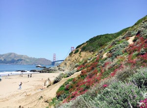
4.8If you're looking for a beach that's a little more protected and scenic than Ocean Beach, then Baker Beach is it. Bring a cooler and some burritos out and kick it with your friends. On a sunny weekend day in SF, there's usually a sizable crowd here, so if you need parking, be sure to get here ear...Read more -
San Francisco, California
Lover's Lane, Ecology, Mountain Lake Trail Loop
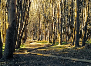
4.52.04 mi / 344 ft gainTucked into a corner of the Golden Gate National Recreation Area is the Presidio, a beautiful little oasis of forests, beaches, and sweeping views that locals love. While the coastal trails get most of the attention here, the park covers 300 acres of prime real estate with lots of notable attract...Read more -
Clayton, California
Hike Mt. Diablo
4.413 mi / 3323 ft gainMt. Diablo has some of the most expansive views in California, despite it's relatively low peak elevation. It played a large role in the surveying the Bay Area during its early discovery. Getting There: To get to the staging area, take Interstate 80 to I-680 to Highway 4. Exit at Railroad Bouleva...Read more -
San Francisco, California
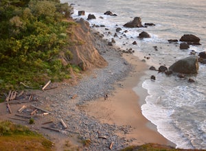
Mile Rock Beach
4.71.64 miThis rocky, secluded beach is tucked in along the Land’s End Coastal Trail in the Golden Gate National Recreation Area. Located 100 or so steps down from the main trail, you’ll find this mysterious little beach that will make you feel like you’re in an old pirate movie. There are a lot of logs an...Read more -
San Francisco, California
Lands End Trail
4.73.26 mi / 500 ft gainThe Lands End Trail is a 3.26 mile out-and-back hike located in the northwest corner of San Francisco along the city's rugged coastline. Offering spectacular views of the Golden Gate Bridge, Marin Headlands, and the Pacific Ocean, the hike is one of the most popular trails in San Francisco for ...Read more -
Walnut Creek, California
Run the Mt. Diablo Foothill Loop
5.06.2 mi / 875 ft gainContinue by car down Castle Rock Road until it dead ends at the beginning of the trail. Parking is usually easy to find. If full, there is another overflow lot about 500 ft back the way you came in.You'll walk a good half mile down the trail before getting the main gate. As you're walking, you'll...Read more

