Rincon Point, California
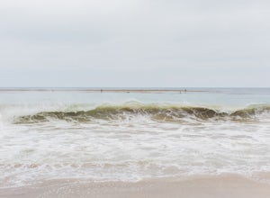
The best Trails and Outdoor Activities are waiting for you at Rincon Point, California. Hiking is a top choice, with the Rincon Point Trail offering a scenic journey along the coastline. The trail is moderate in difficulty and features stunning views of the Pacific Ocean. On your hike, you might spot dolphins frolicking in the waves or pelicans diving for their dinner. For a different perspective, try surfing at Rincon Beach, known for its world-class waves. Nearby, Carpinteria State Beach offers opportunities for fishing and camping. For a more relaxed outdoor adventure, visit the Carpinteria Bluffs Nature Preserve, home to a variety of bird species. These must-visit attractions make Rincon Point a great destination for outdoor adventures.
Top Spots in and near Rincon Point
-
12869 Yerba Buena Road, California
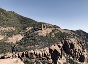
Mishe Mokwa Trail to Sandstone Peak
5.07.06 mi / 1755 ft gainTake Yerba Buena road to the trailhead. It is less zigzagged and shorter distance from PCH. Parking is easy provided that you start early in the morning. If the lot is full, you can always park on the side of the road. Bathroom is available at Sandstone Peak Trailhead parking lot, just 0.8 miles ...Read more -
Malibu, California
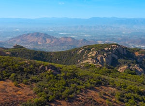
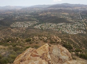
Sandstone Peak
4.83.03 mi / 971 ft gainIf you live in Los Angeles, Sandstone Peak is a must! The hike to the summit can be done on a 2 mile hike up and back on Sandstone Peak Trail, or a 6.5 mile hike up and back on Backbone Trail. The shorter trail is more popular, yet both are equally rewarding. You won't believe the views from the...Read more -
Malibu, California
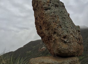
Balanced Rock via Sandstone Trailhead
5.04.36 mi / 1125 ft gain...From the PCH, make a left turn on Yerba Buena road (turn right if you're coming South) for about 6 miles until you get to the dirt parking area. If the lot is full, there's extra parking on the side of the road. FYI, Balanced Rock can also be accessed by starting at the Mishe Mokwa trailhead,...Read more -
Frazier Park, California
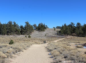
Hike to Conder Observatory (Mt. Piños) from the Nordic Ski Hut
3.32 mi / 457 ft gainAny drive up the I-405N or I-5N is going to result in some pain: Either you leave early enough to avoid traffic, or you are sitting in some slowness for a while. But once you turn onto Frazier Mountain Road from the interstate, you are in a completely different world. It could be 85° in Los Angel...Read more -
Westlake Village, California
Climb at Echo Cliffs
1.3 miThe hike to the crag is about 1.3 miles one way and takes roughly 45 minutes. The approach starts at the Backbone / Mishe Mokwa trail head off Yerba Buena Rd. After walking a couple minutes you'll see a sign pointing left for the backbone trail or straight for Mishe Mokwa. Continue straight and ...Read more -
Los Olivos, California
Backpack Zaca Ridge
5.07.32 mi / 2077 ft gainFrom Santa Ynez, CA take Armour Rd until it hits Happy Canyon Rd, and make a left. Follow this scenic drive through vineyards and oak shaded pastures into the Angeles National Forest. A half-mile section of asphalt is rough from winter storms, so drive slow. The road becomes Sunset Valley Rd and ...Read more -
Malibu, California
Leo Carillo State Beach
4.5Leo Carrillo State Park has 1.5 miles of two sandy beach areas, tide pools, and numerous coves and sea caves. This year-round paradise offers privacy and ocean access for anglers, divers, surfers, wildlife watchers, beachcombers, and campers. If you're headed here for day-use, there are also tide...Read more -
Los Olivos, California
Dispersed Camp in Los Padres National Forest (near Davy Brown Campground)
7 mi / 2000 ft gainI was looking for a last minute adventure out of LA and found this epic view. Easy backpacking trip for one night, no permits needed, less than 3.5 hours from LA, and secluded. Go to REI and pick up your adventure pass for your car. Plug into your GPS "Davy Brown Campground" in Los Olivos / Los...Read more -
Malibu, California
Reservoir Trail to East Meadow Trail Loop
2.3 mi / 334 ft gainReservoir Trail to East Meadow Trail Loop is a loop trail where you may see wildflowers located near Malibu, CaliforniaRead more -
Malibu, California
Ocean Overlook Loop Trail
4.02.7 mi / 397 ft gainOcean Overlook Loop Trail is a loop trail where you may see beautiful wildflowers located near Malibu, California.Read more -
Santa Barbara County, California
Beach Camp on Santa Rosa Island
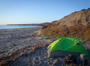
5.019.72 mi / 3097 ft gainChannel Islands National Park is California's least visited National Park. If you visit, you will see many unique plants and animals, including a rare native fox species, and Torrey Pines, only found here and in a small grove near San Diego. This adventure is not for the inexperienced. There is ...Read more -
Santa Barbara County, California
Water Canyon Campground
3.28 mi / 128 ft gainYou can get a wonderfully detailed description of what to expect from the Channel Islands/Santa Rosa Island and how to get there from fellow Explorer Michael Wigle's "Beach Camp on Santa Rosa Island" adventure (which I highly recommend you check out for the information and the photography, so I'm...Read more -
Gaviota, California
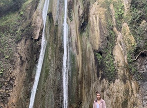
Nojoqui Falls
4.50.84 mi / 328 ft gainUnfortunately, the falls have been inaccessible for a while due to dangerous conditions from a mudslide. Contact the County of Santa Barbara Parks Division for more information. The falls are a great daytime getaway. Granted it's a quick, short hike, so you won't get the same workout or sweat go...Read more -
Malibu, California
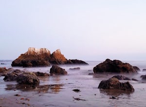
El Matador Beach
4.6There's something magical about this strip of beach and it never fails to deliver at sunset. Lined with strange and jagged rock formations/caves, there are endless opportunities for finding unique compositions and new perspectives. Although it's become quite the popular spot for photographers and...Read more -
Oak Park, California
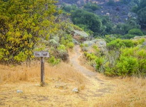
China Flat Trail to Simi Peak
5.05.03 mi / 1398 ft gainFrom the trailhead, simply follow the trail headed up the mountain. The first 2 miles is the hardest part of the hike, because of the steep ascent. Continue on until you hit a junction. Turn left, and you will eventually see an old rusty gate, and a sign which says "China Flat Trail". You will ...Read more -
Santa Barbara County, California
Lobo Canyon Trail via Santa Rosa Campground
12.03 mi / 984 ft gainThe National Park Service describes this hike in the following: "Strenuous. A spectacular canyon with wind- and water-sculpted sandstone cliffs, a year-round stream, riparian vegetation, and a spectacular coast at its mouth. Well worth the effort." I couldn't agree more with the last sentence...Read more

