Redwood City, California
Looking for the best hiking in Redwood City? We've got you covered with the top trails, trips, hiking, backpacking, camping and more around Redwood City. The detailed guides, photos, and reviews are all submitted by the Outbound community.
Top Hiking Spots in and near Redwood City
-
21600 Big Basin Way, California
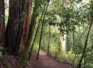
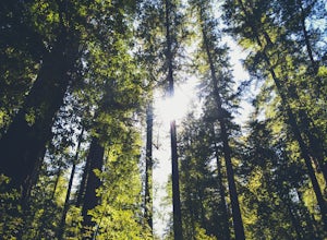
Hike the Sequoia Trail at Big Basin Redwoods SP
4.04.3 mi / 600 ft gainThis 4.3 mile hike in Big Basin Redwoods SP is a peaceful break from the hustle and bustle of everyday life. In the first half, there is a quick detour you can take to Sempervirens Falls. Just listen for sounds of water, read the signs, and cross the road. The detour itself is as far as cross...Read more -
Boulder Creek, California
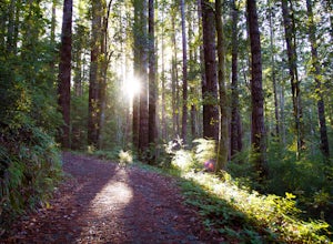
Hike the Old Growth Redwoods Trail
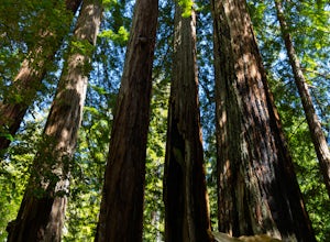
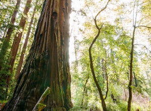
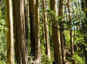
4.50.5 miQuick half-mile stroll through the old growth Redwoods that will show you the nature of the ever-living redwood tree.Redwoods are capable of withstanding storms, floods, fire, droughts, and even termites. These legendary trees can live for over 2,000 years and possess incredible strength, vigor, ...Read more -
Boulder Creek, California
Hike the Berry Creek Falls Loop
4.811 mi / 2000 ft gainNestled in California's oldest state park, the popular Berry Creek Falls Loop hike begins at the Big Basin park headquarters. If you're up for 11 miles, a thousand feet of elevation gain through towering redwoods and along serene creeks, and spread out over a half-day, then this is the hike for y...Read more -
Boulder Creek, California
Camp at Big Basin Redwoods State Park
4.00.5 miBig Basin is currently closed including the campgrounds. Please visit the Parks.ca.gov site for updated details. An hour away from the thrumming city of San Jose, ancient immense trees live in a forest full of vibrant ferns and rushing waterfalls. Big Basin Redwoods State Park encompasses 10,00...Read more -
Boulder Creek, California
Hike the Ocean View Summit Loop
4.06 mi / 600 ft gainThis hike begins at the Big Basin park headquarters. If you're up for 6 miles through giant redwoods and along serene creeks, and with an ocean view, then this is the hike for you. Ocean view summit loop starts on the Gazos Creek Road bridge, next turn right on to the Middle Ridge Fire Road, whic...Read more -
Boulder Creek, California
Big Basin's Sunset Trail Camp
4.89.46 mi / 2146 ft gainThis trail and campsite is currently closed (learn more). Looking for a more authentic hiking and camping weekend, without having to drive hours away to find it? Then the Sunset Trail Camp within Big Basin Redwoods SP is your ticket. To access this site, you'll need to hike the famous Skyline-to...Read more -
Boulder Creek, California
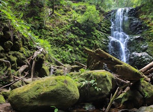
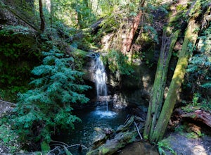
Hike to Sempervirens Falls
4.02.1 mi / 100 ft gainThe hike to Sempervirens Falls is an easy 2.1 mile out-and-back hike on the Sequoia Trail. You'll travel through the redwood forest and some of the campgrounds located in Big Basin State Park. The hike is pleasant but on occasion, you'll be too close to the road to feel like you're deep in the wi...Read more -
San Francisco, California
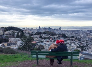
Tank Hill
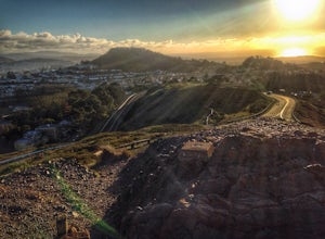
4.30.14 mi / 49 ft gainLooking for a cool, under-the-radar spot that’s perfect for picnics, chilling out, and chasing the sunset? Look no further than Tank Hill. This little gem of a mini-park is 650 feet high and tucked away in Cole Valley. It’s so small that many maps of San Francisco don’t even include it. To get ...Read more -
San Francisco, California
Twin Peaks Loop
4.02.04 mi / 259 ft gainThere are a ton of ways to get here (and obviously that can affect the total distance) but this is starting from Clarendon. Follow along up Twin Peaks boulevard where you'll see the peaks upon your approach. Keep an eye out for traffic as there may be visitors driving toward and away from Twin Pe...Read more -
Oakland, California
Hike Redwood Regional Park via the Dunn Loop
5.03.6 mi / 606 ft gainThe Redwood Regional Dunn Loop is just outside of Oakland, and can be reached from anywhere in the Bay Area for a fun day or half-day trip. The trail is open year-round. In the spring, wildflowers are abundant. The trail has a great mix of sun and shade. Dogs are allowed, but must be kept on leash.Read more -
San Francisco, California
Vulcan Steps
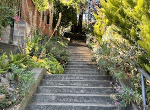
5.00.18 mi / 79 ft gainVulcan Steps is an out-and-back trail that takes you past scenic surroundings located near San Francisco, California.Read more -
San Francisco, California
Corona Heights Park
5.00.65 mi / 115 ft gainCorona Heights Park is a park located north of the Castro and South of Buena Vista Park. The peak of the hill is windy, but it offers an unobstructed panoramic view of the city of San Francisco from downtown to Twin Peaks. It is perfect for taking panoramic pictures of San Francisco at night. Y...Read more -
Sunol, California
Little Yosemite via Canyon View Trail
4.03.01 mi / 705 ft gainPlease note this is a fragile ecosystem and watershed. There is NO swimming allowed in Alameda Creek and trespassing is prohibited on Water Department lands that are not accessible to the public. You can learn more about the restrictions and the area at ebparks.org. After entering the kiosk you...Read more -
San Francisco, California
Mount Sutro Open Space Reserve Loop
4.42.14 mi / 617 ft gainThe Mount Sutro Open Space hike is one of those gems that's just hiding in plain site. Most people live in San Francisco for years without ever knowing this hike even exists - which is totally fine with us. This 2+ mile loop is an easy, quick way to get back in touch with nature after a long day....Read more -
Los Gatos, California
Hike Los Gatos Trail to Jones Trail Loop
3.8 mi / 511 ft gainThis trail winds its way along the Los Gatos Creek and ends at the Lexington Reservoir before looping back to the start. It is 3.8 miles and makes for a great way to get exercise and relax in nature. You can hear the creek as you hike, and can even go down to it. There is a lot of green foliage t...Read more -
Oakland, California
Run the Circumnavigation of Redwood Regional Park's Ultimate Trail Loop
5.07.5 mi / 1600 ft gainIt’s difficult to have a car in San Francisco, but oh-so worth it when it comes to weekend getaways, especially with all the Bay Area has to offer. This is a super accessible trail system just 30 minutes outside of the city that makes for a fun, easy trail run or hike.Redwood Regional Park, part ...Read more

