Quincy, California
Looking for the best fishing in Quincy? We've got you covered with the top trails, trips, hiking, backpacking, camping and more around Quincy. The detailed guides, photos, and reviews are all submitted by the Outbound community.
Top Fishing Spots in and near Quincy
-
Calpine, California
Camp at Salmon Creek Campground
Salmon Creek Campground is a quiet campground in the Northern Sierra Buttes. Since it is right up the road from Sardine Lakes it seems to get overlooked a bit. We were able to reserve three campsites the same week of our trip. There were 11 to choose from! The campground is just passed the turn f...Read more -
Sierra City, California
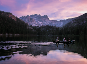
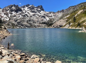
Sardine Lakes
1.32 mi / 253 ft gainSardine Lakes is a loop trail that takes you by a lake located near Sierra City, California.Read more -
Sierra City, California
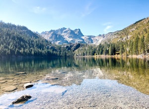
Paddle Lower Sardine Lake
5.0Lower Sardine Lake is a short drive from Sardine Lakes Campground. It has crystal clear water and is a very smooth place to paddle. This is also a popular fishing and kayaking spot. There are many fallen trees in the lake and a couple rocks that come up almost to the surface. The water in genera...Read more -
Sierra City, California
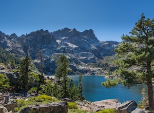
Sierra Buttes and Sardine Lakes
4.86.19 mi / 3333 ft gainThe Sierra Buttes are one of the most scenic mountain features in all of the Sierra Nevadas. Nestled below the buttes are Upper and Lower Sardine lakes which both offer amazing fishing. Sardine Lake Resort lies at the base of the mountains and offers boat rentals, dining and cabin rentals. Just m...Read more -
Sierra City, California
Relax at Sand Pond
5.0Sand Pond is a great place to relax after a day of hiking or paddling. It's located between Sardine Lake Campground and Lower Sardine Lake and is an easy 10 min walk from the campground. Sand Pond has beautiful views of the mountains and is a great place to watch the sunset. There are small fish ...Read more -
Plumas County, California
Camp at Last Chance Creek Campground on Lake Almanor
This PG&E campsite is located on the northern most inlet of Lake Almanor and is slightly more remote than the other sites around Lake Almanor. The campground offers spectacular views and easy access to great fishing. To get there, head east out of the town of Chester on Highway 36. After cros...Read more -
Susanville, California
Camp at Cheney Creek Primitive Campsite
3 miCheney Creek has a bulletin board and toilet but no developed campsites. There is a primitive hike in or bike in campsite at Cheney Creek along the Bizz Johnson Trail, which is beside the Susan River. The primitive self contained camping site is 1.5 miles east of the Devil's Corral Trailhead on t...Read more -
Pacific Crest Trail, California
Camp at Warner Valley
Warner Valley Campground is at the end of Warner Valley Road. It's 16 dollars a night at a first come first serve basis. As far as the campground it self, there are a few bathrooms and each site has a fire ring and a picnic table. There are 17 sites which isn't a ton but since it's a fairly unuse...Read more -
Plumas County, California
Drake Lake Trail
4.6 mi / 840 ft gainThe hike starts at the Warner Valley Trailhead and winds up the mountain until you reach the lake. The first 2 miles or so are very pleasant walk through the woods until you reach the last portion which is essentially straight up the mountain side. This portion of the trail can be very slippery...Read more -
Old Station, California
Hike to Snag Lake via the Cinder Cone
12.5 mi / 2000 ft gainStart from the Butte Lake trailhead, off Highway 44 at the north end of Lassen Volcanic National Park. From the parking lot walk past the little boat launch and the trailhead is obvious in front of you. Be mentally prepared to be walking in loose sand for most of this trip (and bring ankle or kn...Read more -
Emigrant Gap, California
Loch Leven Viewpoint Trail
5.06.41 mi / 1522 ft gainLoch Leven Viewpoint Trail is an out-and-back trail to a viewpoint of the Loch Leven Lakes that is moderately difficult located near Truckee, California. This trail is just under 6.5 miles. If you're willing to add a little more than a mile to your adventure, you can head all the way to Upper Loc...Read more

