Placerville, California
Looking for the best photography in Placerville? We've got you covered with the top trails, trips, hiking, backpacking, camping and more around Placerville. The detailed guides, photos, and reviews are all submitted by the Outbound community.
Top Photography Spots in and near Placerville
-
Kyburz, California
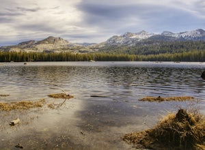
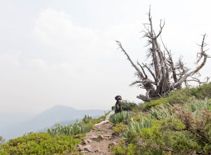
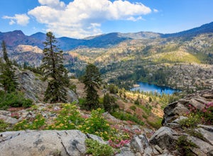
Hike the Grouse, Hemlock, and Smith Lake Trail
5.0Starting from the Wright's Lake parking area, walk past the service gate to find the loop trail. Follow the loop trail to the signed trail for Twin, Grouse, Island, and Hemlock Lakes heading toward the right. You will begin an approximate 150 foot ascend before coming to a saddle. Another 150 foo...Read more -
Grass Valley, California
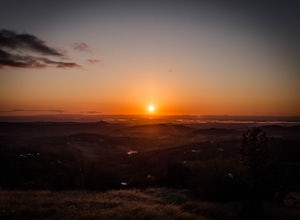
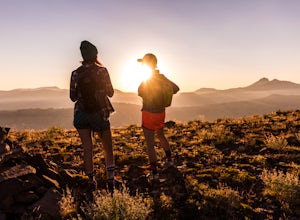
Photograph a Sunset on Wolf Mountain
5.0While all of the hiking trails to the Wolf Mountain summit cross private land, Wolf Mountain Road provides public access to several excellent viewpoints overlooking the Central Valley and the nearby ruins of old radio towers.To get there take McCourtney Road west from CA Highway 49/20 and go 3.2 ...Read more -
Twin Bridges, California
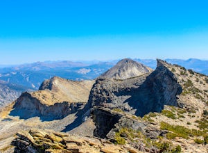
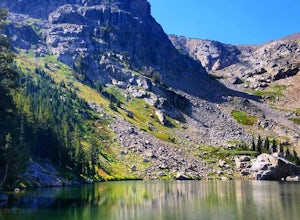
Summit Price & Agassiz from Desolation Wilderness
5.0Mount Price (9,975') is the second highest summit in the Desolation Wilderness, standing just eight feet lower than Pyramid Peak to the south. In between these two peaks stands Mount Agassiz (9,967'), whose overhanging summit resembles a granite wave poised to crash down into the Desolation Vall...Read more -
Twin Bridges, California
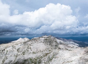
Hike Pyramid Peak via Rocky Canyon
5.07.4 mi / 4100 ft gainPyramid Peak is the tallest peak in the Crystal Range and the Desolation Wilderness, just west of Lake Tahoe. On a clear day it can be seen from the Bay Area over 150 miles away. Named for its distinct shape, Pyramid a massive heap of glaciated granite slabs and talus, and the Rocky Canyon route ...Read more -
Pioneer, California
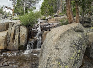
Camping at The Pots
4.2This fantastic camping or chilling spot has beautiful granite pools and slides of all sizes. The area consists of a river flowing over a granite slab creating pools some of which are over ten feet deep. The water cascades down the granite in small water falls. The area is located next to Silver L...Read more -
Twin Bridges, United States
Hike Horsetail Falls
4.22.8 mi / 700 ft gainGreat views are waiting for you at the top of Horsetail Falls. Pyramid Creek flows down the steep, glacier carved granite faces of Desolation Wilderness to create this awesome waterfall that is estimated to be about 800 feet tall. You will follow Pyramid Creek up the granite rocks to the top of t...Read more -
Twin Bridges, California
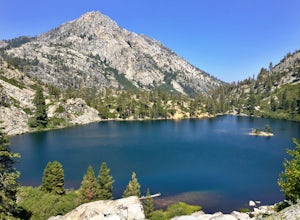
Ropi Lake via Pyramid Creek
4.74.87 mi / 1581 ft gainThe trailhead to begin this hike is located at: 38.8117 N, 120.1237 W. From Hwy 50 just south of Lake Tahoe, take Hwy 50 southwest for almost 11 miles, where you'll turn into the parking lot after crossing Pyramid Creek. There is a $5 day-use fee to park in the trailhead parking lot. The hike i...Read more -
Twin Bridges, California
Hiking to Ralston Peak
4.07 mi / 2375 ft gainStarting at the lower lot it's less than a mile to access the trail. The hike starts off in shade through a lot of red fir forest and continues at a steady upward route. Approximately 45 mins into the hike you'll come across a sign that says you are entering desolation wilderness. The forest will...Read more -
Amador County, California
Hike to Thunder Mountain at Carson Pass
7 miThe trailhead begins on Rt 88 just past Kirkwood Resort or Silver Lake - depending on which way you are headed. There is plenty of parking but no other amenities. The trail begins at 7,900 ft and climbs steadily up Two Sentinels then along the ridge to Martins Point, ending at the 9,408ft summit ...Read more -
Tahoe City, California
Hike the Ellis Peak Trail
5.06.3 mi / 1660 ft gainThe Ellis Peak Trail is close to North Lake Tahoe. The trail features scenic wildflowers in the spring and summer. Dogs are allowed on the trail but must be kept on leash. Directions from Truckee: Take Highway 80 south and drive to Tahoe City - continue south on Highway 89 from Tahoe City for 4....Read more -
Markleeville, California
Caples Lake to Emigrant Lake
5.08.71 mi / 971 ft gainThis is an awesome out-and-back hike for the weekend warrior. The trail begins at the western-most point of Caples Lake, and takes you to Emigrant Lake. The first 2/3 of the trail is rather flat and appropriate for all skill levels. The last mile up to the lake schleps up the hill, and has some ...Read more -
South Lake Tahoe, California
Rock Climb at Eagle Lake Cliffs
4 miTo Access Eagle Lake Cliffs Crag, head to the West Shore of South Lake Tahoe. You’ll want to park at Emerald Bay Parking Lot and head to the trail register. It’s almost always packed, so come early, or plan to park on the road and walk. Sign yourself and your party number in for the day access pa...Read more -
South Lake Tahoe, California
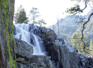
Eagle Falls & Eagle Lake Loop
4.42.39 mi / 617 ft gainEagle Falls Trail is located off Highway 89 and is surrounded by some of the most beautiful landscapes in California. Eagle Falls is one of the most popular short hikes in Lake Tahoe because of its beautiful cascading waterfalls, lush green scenery, and trees. Alongside one of the bluest pristine...Read more -
South Lake Tahoe, California
Eagle Falls Vista Loop
0.56 mi / 138 ft gainEagle falls is a short walk from the main Emerald Bay vista point. The top of the falls are cool to look at themselves, with great views of the lake.Read more -
South Lake Tahoe, California
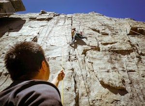
Rock Climb the 90ft. Wall
5.0Park at the Eagle Creek Canyon parking lot. If it's full, park alongside the Hwy 89, right at the entrance of the Eagle Creek Canyon parking pullout. Both parking areas fill up quickly, so if those two are full, park across the street at Emerald Bay Vikingsholm Trail parking lot. That area can fi...Read more -
Tahoma, California
Glen Alpine Falls and Grass Lake
4.85.29 mi / 725 ft gainPark your car at the Glen Alpine Trailhead adjacent to Lily Lake and southwest of Fallen Leaf Lake. Head west on Glen Alpine Creek Trail passing Lily Lake on your left. After a little over a mile and a half of trekking through the alpine forest and taking in mountain views, you'll arrive at Alpin...Read more

