Placerville, California
Looking for the best photography in Placerville? We've got you covered with the top trails, trips, hiking, backpacking, camping and more around Placerville. The detailed guides, photos, and reviews are all submitted by the Outbound community.
Top Photography Spots in and near Placerville
-
Echo Lake, California
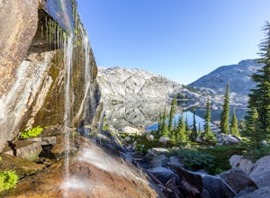
Backpack to the "Waterfall Camp" in Desolation Wilderness
4.710.5 mi / 1522 ft gainAlthough this hike can be done as a day hike, it is an awesome place to camp. There is a lot to explore and you will want to spend as much there time as you can. The easiest way to start this hike is to start at the Echo Lakes. There is ample parking above the marina and you even have the option ...Read more -
Echo Lake, California
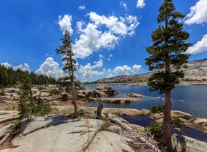
Explore the Alpine Lakes of Desolation Wilderness
5.0This incredible hike offers you the opportunity to visit the heart of desolation without climbing more than about 600 feet of elevation. Begin at the boat taxi at Lower Echo Lake. The taxi costs $12/person each way and is $5 each-way for your furry friend. The taxi leaves the dock at frequent int...Read more -
South Lake Tahoe, California
Hike Mount Tallac
4.99.5 mi / 3255 ft gainThe classic 9½ mile out-and-back day hike to Mount Tallac begins at the trailhead on the southwestern side of Lake Tahoe, between Emerald Bay and Camp Richardson. When driving to the trailhead, make a turn inland at Mt. Tallac Road and follow the well-signed route to the reasonably sized parking ...Read more -
Echo Lake, California
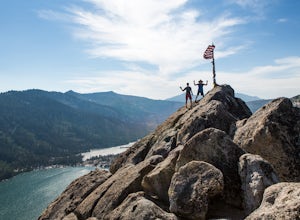
Hike Flagpole Peak from the bottom of Echo Summit
3.5 mi / 1900 ft gainFor this hike there are two places you can start from. One is at the Echo Lakes parking lot and the other is at the bottom of Echo Summit (where we started at). Parking at the gun tower at the bottom of Echo Summit you'll be looking right at the face of Flagpole. After parking just off the side o...Read more -
South Lake Tahoe, California
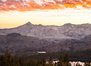
Capture the Sunset at the Angora Ridge Fire Lookout
The Angora Ridge Fire lookout sits above the serene Fallen Leaf Lake with incredible views of Mt. Tallac and Desolation Wilderness. You can hike, bike or drive to the lookout. This is a great spot to photograph the sunset, as the sky will reflect off both Fallen Leaf Lake and Lake Tahoe. Bring a ...Read more -
Tahoe City, California
Ride Twin Peaks in Lake Tahoe's Backcountry
This trip is best done in two days with an approach day and then a descent day. Get started at the base of the Sherwood Chair on the backside of the Alpine ski area. Head up, outside of the ski area boundary toward the high ridge.Once on the ridge, you follow it south for a few miles until reachi...Read more -
Tahoma, California
Backpack to Crag Lake
4.011.1 mi / 1220 ft gainDay 1:This trip is a great early season trip while you are waiting for the snow to melt in the high country or it could be a good first backpacking trip because of its proximity to the trailhead and the fact that it's a relatively easy hike. Also, you get to camp by a beautiful lake with a drama...Read more -
Nevada City, California
Hike the Independence Trail
4.5Starting from the free easy access parking lot right off highway 49 you head left up the trail. You will notice two trails side by side, one wider path for wheelchair access and another slightly narrower path for hikers on foot.The trail is set on the cliff side overlooking the South Fork of the ...Read more -
South Lake Tahoe, California
Hike the Lighthouse Trail at D.L. Bliss State Park
4.82.3 mi / 505 ft gainThe Lighthouse Trail is a 2.3 mile loop located in D.L. Bliss State Park on the lower west side of world famous Lake Tahoe. To get the trail, enter the park through the main entrance ($10 parking fee), the follow the road until you see two parking areas of the left side with about 6 or 7 spots e...Read more -
South Lake Tahoe, California
Hike the Rubicon Trail
5.07 mi / 400 ft gainThe Rubicon Trail is a through hike connecting D.L. Bliss State Park and Emerald Bay State Park. You can start at either point. I opted to start at D.L. Bliss State Park to avoid the long walk uphill to catch the Nifty Fifty shuttle. Also, there is more available parking at Bliss. Park your c...Read more -
South Lake Tahoe, California
Baldwin Beach
4.5Baldwin Beach offers a half mile of views of Lake Tahoe and the Sierra Nevada mountains. People come to this beach to relax and picnic. This is also a popular launch spot for those kayaking or stand up paddling to Emerald Bay. This beach is on national forest land and has a parking fee of $8.00...Read more -
Nevada City, California
Swim at Edwards Crossing on the South Yuba River
5.02.74 mi / 1302 ft gainThere are endless swimming holes on the South Yuba River the feature crystal clear water, massive granite boulders and pristine pocket beaches, particularly those lower in the foothills. Many are separated by sections of rapids, but can be reached via the growing trail system of the South Yuba Ri...Read more -
El Dorado County, California
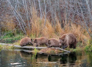
Photograph Black Bears at Taylor Creek, South Lake Tahoe
/ 30 ft gainLake Tahoe is a tourist attraction filled with spectacular views and a plethora of wildlife. However, one species in particular has made a lasting impression on both locals and tourists - black bears. The area around Lake Tahoe is prime bear habitat and cities in the vicinity are seeing a rising ...Read more -
South Lake Tahoe, California
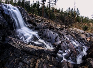
Photograph Fallen Leaf Lake's Cascading Falls
5.0This amazing waterfall is right off the road near the Fallen Leaf Campground. Once you enter the campground keep driving straight just a bit further and you will see a pull off on the right hand side. Pull off here and you should see the cascading waterfalls between the trees. Park here, get you...Read more -
South Lake Tahoe, California
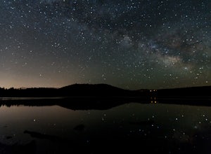
Photograph the Milky Way over Fallen Leaf Lake
Fallen Leaf has been my favorite spot in all of Tahoe since I can remember. The beautiful shoreline sits right up against the base of Mt. Tallac with almost zero light pollution. It is one of my favorite spots to go and shoot the stars. There are tons of spots to pick from depending on what you a...Read more -
Truckee, California
The Five Lakes Hike
4.0The Five Lakes Trail is located in the Granite Chief Wilderness in between Alpine Meadows and Squaw Valley ski resorts and is easily accessible at the intersection of Alpine Meadows and Deer Park roads. The 5-mile moderate trail ascends approximately 900-1000 ft. along granite canyons and pine f...Read more

