Pioneer, California
Looking for the best hiking in Pioneer? We've got you covered with the top trails, trips, hiking, backpacking, camping and more around Pioneer. The detailed guides, photos, and reviews are all submitted by the Outbound community.
Top Hiking Spots in and near Pioneer
-
South Lake Tahoe, California
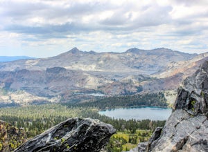
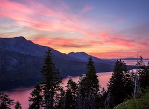
Gilmore Lake in Desolation Wilderness
8.66 mi / 1919 ft gainThe easiest way to get to Gilmore Lake is to start at the Glen Alpine trailhead. The trail head is southwest of Fallen Leaf Lake. There is a decently sized parking lot at the trailhead, but parking is also available on the road up. Because desolation is a wilderness area, you must fill out a perm...Read more -
Tuolumne County, California
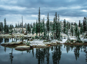
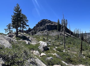
Backpack Chewing Gum Lake
3.34.5 mi / 1000 ft gainChewing Gum Lakes is located in Emigrant Wilderness, South of Lake Tahoe and North of Yosemite, with stunning valley views and gorgeous granite faces, peaking through the tree lines of the Stanislaus National Forest. Sitting just north of Yosemite allows you to take in a portion of the beauty of ...Read more -
Auburn, California
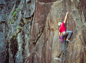
Rock Climb at the Quarry
5.02.6 mi / 800 ft gainMany thanks to the Climbing Resource Advocates for Greater Sacramento (CRAGS) and the Access Fund for their hard work in re-opening this location to make it climbing-legal. Where to Park:Put in "Parking lot for the Quarry Trail, California 193, Auburn, CA 95603"This is the designated parking lot ...Read more -
Auburn, California
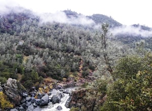
Hike the Quarry Trail in the Auburn SRA
4.011 miParking in the Auburn State Recreation Area parking lot has a cost of $10.00. Free parking is allowed on the right side of the road located on the right after driving over the bridge. From here the Quarry Trail parking lot and Trail head are a short walking distance ahead on the left side of th...Read more -
Pinecrest, California
Backpack to Chain Lakes
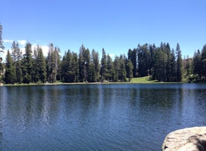
4.4 mi / 864 ft gainThis trip begins at ~7500 feet at the Box Springs Trailhead This trail is at the end of Forest Route 3N20Y. The trail, which is not regularly maintained and may at times be hard to follow, initially descends slightly to 7300', then stays mostly flat before rising just before the lakes. You will p...Read more -
Auburn, California
Hike to the North Fork Dam of Lake Clementine
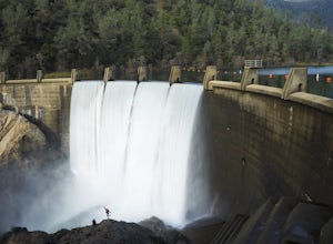
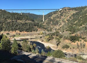
5.04 miLocated only roughly 40 minutes from Sacramento. This trail will allow you to view and walk under the 5th largest bridge in the US as well as enjoy the waterfall spectacle of a top releasing Dam. Once reaching Old Foresthill Road from the town of Auburn, drive over the smaller bridge spanning the...Read more -
Auburn, California
Hike Training Hill
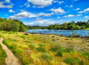
4.54.5 mi / 1126 ft gainTraining Hill is a 4.5 mile loop trail that features beautiful meadows and wildflowers, with limited views to Folsom Lake and the Auburn canyon. The trail to Training Hill branches off from the Calcutta Falls trail right before the first cement bridge over the American River. Training Hill is r...Read more -
Carmichael, California
Hike through the Effie Yeaw Nature Preserve
4.34.48 mi / 161 ft gainDetailsEffie Yeaw Nature Preserve is named after Effie Yeaw, a teacher, conservationist and environmental educator who frequented the area on educational nature walks. She was one of the leading forces behind preserving the land now known as The American River Parkway.Effie Yeaw Nature Preserve...Read more -
South Lake Tahoe, California
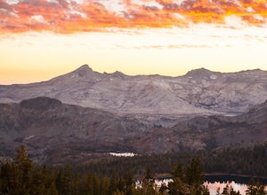
Capture the Sunset at the Angora Ridge Fire Lookout
The Angora Ridge Fire lookout sits above the serene Fallen Leaf Lake with incredible views of Mt. Tallac and Desolation Wilderness. You can hike, bike or drive to the lookout. This is a great spot to photograph the sunset, as the sky will reflect off both Fallen Leaf Lake and Lake Tahoe. Bring a ...Read more -
Arnold, California
Upper Gardner Meadow via Highland Lakes Trail
3.96 mi / 364 ft gainUpper Gardner Meadow via Highland Lakes Trail is an out-and-back trail where you may see wildflowers located near Markleeville, California.Read more -
South Lake Tahoe, California
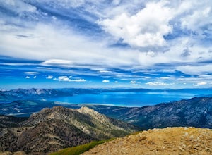
Hike to Freel Peak
5.07.3 mi / 2474 ft gainMt. Tallac may be one of the Lake Tahoe Basin's most famous peaks to hike because of its fantastic views of Lake Tahoe, but my personal favorite view in Tahoe is from the top of Freel Peak or Jobs Sister. Freel Peak is the tallest peak in the Lake Tahoe Basin at 10,881 feet.From the top of Freel...Read more -
South Lake Tahoe, California
Hike Mount Tallac
4.99.5 mi / 3255 ft gainThe classic 9½ mile out-and-back day hike to Mount Tallac begins at the trailhead on the southwestern side of Lake Tahoe, between Emerald Bay and Camp Richardson. When driving to the trailhead, make a turn inland at Mt. Tallac Road and follow the well-signed route to the reasonably sized parking ...Read more -
South Lake Tahoe, California
Cascade Falls
4.81.32 mi / 98 ft gainStarting out at the Bayview Trailhead you will make your way out through the campground towards the trail. Once you find the trail it is a simple way to the falls. It starts out as a wide trail and winds through the pine and fir trees. You will come to some stone steps as the trail narrows for th...Read more -
South Lake Tahoe, California
Backpack to Eagle Lake and Dick's Lake
4.513 mi / 1500 ft gainGet ready to get your lake on! This backpacking trip will take you 13+ miles through awesome scenery to several alpine lakes.Starting at the Bayview Campground, off of HWY 89, this hike follows the Granite Lake Trail along a difficult climb. Don't let the climb discourage you! As you climb, the v...Read more -
South Lake Tahoe, California
Hike to Snow Lake in Desolation Wilderness
5.05 miThis wonderful alpine lake is a relatively short hike in Desolation Wilderness and is a perfect introduction to off trail exploration. This area lacks the crowds that other lakes in Desolation garner because most maps don't show the trail leading to the lake. Although there is a rough trail, the ...Read more -
South Lake Tahoe, California
Lower, Middle, and Upper Velma Lakes
3.010.14 mi / 2316 ft gainThe hike starts at Bayview Trailhead (Latitude: 38.938619 | Longitude: -120.14197). A wooden sign points right to "Desolation" and left to Cascade Falls. Follow the sign towards Desolation. The first 3/4 mile is comprised of switch-backs that lead to a high point with a spectacular view of Lake T...Read more

