Pinecrest, California
Looking for the best photography in Pinecrest? We've got you covered with the top trails, trips, hiking, backpacking, camping and more around Pinecrest. The detailed guides, photos, and reviews are all submitted by the Outbound community.
Top Photography Spots in and near Pinecrest
-
Pollock Pines, United States
Hiking the Jenkinson Lake Loop Trail at Sly Park
4.0The Jenkinson Lake Loop Trail runs along Jenkinson Lake, making for an easy, shaded, and well-marked hike that the entire family can enjoy. The full loop is over eight miles, but can be easily modified into a shorter trip, as well.Along the way, you will see a variety of activities along the lake...Read more -
Mariposa County, California
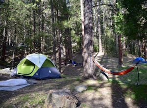
Camp at Wawona in Yosemite National Park
Wawona offers over 90 campsites in 3 loops, including 1 group site, 2 horse sites, and RV/ camper access.Every loop has at least 1 bathroom with flush toilets, but keep in mind that there are no showers at this campground.Pets are allowed, but must be kept on leash at all times.Each campground co...Read more -
South Lake Tahoe, California
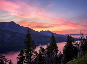
Capture the Sunset at the Angora Ridge Fire Lookout
The Angora Ridge Fire lookout sits above the serene Fallen Leaf Lake with incredible views of Mt. Tallac and Desolation Wilderness. You can hike, bike or drive to the lookout. This is a great spot to photograph the sunset, as the sky will reflect off both Fallen Leaf Lake and Lake Tahoe. Bring a ...Read more -
Twin Bridges, California
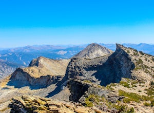
Summit Price & Agassiz from Desolation Wilderness
5.0Mount Price (9,975') is the second highest summit in the Desolation Wilderness, standing just eight feet lower than Pyramid Peak to the south. In between these two peaks stands Mount Agassiz (9,967'), whose overhanging summit resembles a granite wave poised to crash down into the Desolation Vall...Read more -
El Dorado County, California
Camp at Ice House Reservoir
4.01 mi / 1 ft gainDesolation Wilderness is just west of Lake Tahoe, a part of Eldorado National Forest. It's a very popular backpacking destination as the PCT and Tahoe Rim Trail both run through the area. There are what seems to be endless amounts of mountain lakes, creeks, and rivers that run through this area w...Read more -
Yosemite National Park, California
Buena Vista Lake via Chilnualna Falls Trailhead
24.64 mi / 5453 ft gainHiking and camping at Buena Vista Lake is a beautiful way to see the south side of Yosemite… the name says it all. With beautiful 360 degree views from Buena Vista Peak you get to look at the backside of Half Dome, up to Clouds Rest and all the domes and peaks in-between. You can reach the trail...Read more -
Yosemite National Park, California
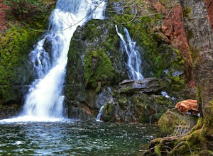
Hike to the Top of Chilnualna Falls
4.39.2 mi / 2300 ft gainMany visitors to Yosemite head straight to the valley and don't often explore the other areas of the park. So if you are interested in staying away from the massive crowds and getting to enjoy the beauty of the park a little more quietly, the Wawona is a great option for a getaway. The Chilnualna...Read more -
Yosemite National Park, California
Backpack to Johnson Lake
24 mi / 4500 ft gainYour trek begins at the Chilnualna Falls trailhead in Wawona near the South Gate in Yosemite. The first suggestion I have is to check the weather in the area to make sure you won't be slowed down by rain or snow. It's about 12 miles from the trailhead to the lake and if you are a swift hiker and ...Read more -
Yosemite National Park, California
Backpack to Crescent Lake
20 mi / 4100 ft gainCrescent Lake is another beautiful spot a long the Beuna Vista loop. Starting at the Chilnualna Trailhead in Wawona, you start your journey climbing about 4.6 miles and 2,300 feet to the top of Chilnualna Falls (always a good place to rest). Beyond the falls, continue a long the trail and always ...Read more

