Pinecrest, California
Looking for the best photography in Pinecrest? We've got you covered with the top trails, trips, hiking, backpacking, camping and more around Pinecrest. The detailed guides, photos, and reviews are all submitted by the Outbound community.
Top Photography Spots in and near Pinecrest
-
Mariposa County, California
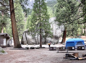
Camp at Camp 4, Yosemite NP
4.5Camp 4 is located in Yosemite Valley near Yosemite Valley Lodge. It's a popular spot for climbers as there is bouldering within the site. It's also located close to the Upper Yosemite Falls trail. Pets are not allowed. First come, first serve, $6/night. More info at https://www.nps.gov/yose/plany...Read more -
Mariposa County, California
Backpack to Yosemite's Eagle Peak via Yosemite Falls
12.6 mi / 3779 ft gainGet a permit. Any overnight backpacking in Yosemite requires a permit from the Wilderness Center. Before you leave make sure to get one! Get a bear canister! Bears are active in Yosemite and all backpackers must take the required measures to keep food away from them! Start at Camp 4. Eagle Pe...Read more -
37.741904,-119.601967
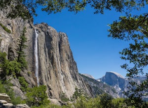
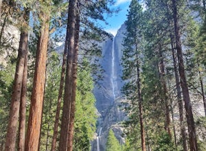
Upper Yosemite Falls
4.75.98 mi / 2700 ft gainYou can find the trailhead to Upper Yosemite Falls near Camp 4. There is plenty of free parking here and you can also take a shuttle to stop #7. Be sure to start this hike early in the day as it is strenuous and can get really hot as the day goes on. Bring plenty of water and snacks and take many...Read more -
Mariposa County, California
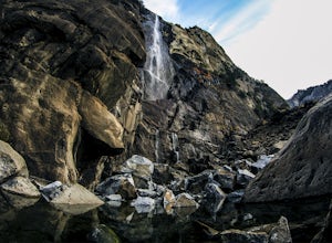
Hike to Bridalveil Fall
3.81.2 mi / 200 ft gainSince most things you want to see in Yosemite require a hike, this place is a nice change to see something without having to walk for hours. From the parking lot it is just about a 10 minute walk to the falls.If you scramble up the rocks, you can get a nice view of the falls and the pond. It used...Read more -
YOSEMITE NATIONAL PARK, California
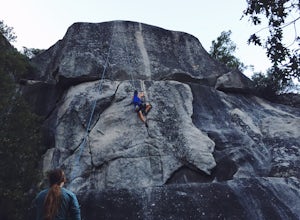
Rock Climb Penthouse Cracks, Yosemite NP
The Penthouse Cracks in Yosemite Valley are a great introduction to crack climbing, in a safe environment. With fixed protection above the routes, you are able to safely top rope these climbs. Featuring a 5.8, two 5.10 climbs, and a 5.11, everyone can find something fun to try.Park at Yosemite Lo...Read more -
Yosemite Village, California
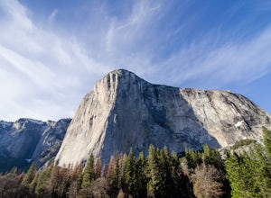
Watch the Sunset in El Capitan Meadow
After entering the park, keep driving the loop until you get onto Northside Drive, and then park once you are right below El Capitan (the 3,000ft granite monolith that is very hard to miss).Once you've parked, grab a blanket, snacks, and a beverage. With these items in hand, walk over to the eas...Read more -
Yosemite Valley, California
Sentinel Meadow Cook's Meadow Loop Trail
4.51.99 mi / 85 ft gainThis short, easy walk provides some of the best views of several iconic Yosemite landmarks from the valley floor. If you complete the entire loop, expect to see Yosemite Falls from the Swinging Bridge, Half Dome from Sentinel Bridge (a popular spot at sunset), and the historic Yosemite Chapel. ...Read more -
Mariposa County, California
Hike to Tuolumne Peak Plateau
11.7 mi / 1800 ft gainThe most direct route begins at Murphy Creek trailhead, on the north side of Tioga Road near Tenaya Lake. Walk north on Murphy Creek trail for 2.5 miles with minimal elevation gain. Polly Dome Lakes are a great side trip via the social trail on the right side of the trail before the first junctio...Read more -
Yosemite Valley, California
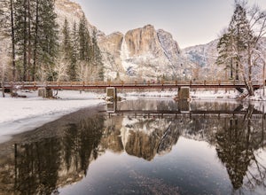
Photograph Yosemite Falls at Swinging Bridge
5.0This is a drive up and shoot adventure in winter. The spot is at Swinging Bridge area. This area is also a picnic area and hiking trail but, in my opinion, the best spot to capture Yosemite Falls is a few steps walk after you park the car. One of not so many places that you still can go in winte...Read more -
Yosemite Valley, California
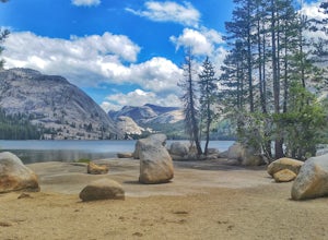
Tenaya Lake
4.63.08 mi / 0 ft gainTenaya Lake is located alongside Tioga Road in the park's Tuolumne Meadows region. There is a family-friendly trail that surrounds the lake. Though some spots along the trail on the western shore may require fording the waters, the 2.5-mile trip is an easy hike for all to enjoy. Many others pre...Read more -
Mariposa County, California
Clouds Rest to Half Dome
18.52 mi / 4000 ft gainBecause this is not a loop, you will need to figure out a shuttle situation. There are two options for this: 1. Drive your car to the Tenaya Lake Trail Head, and leave it parked there. Once you reach the Valley you will be car-less, but then the next day you can take one of the free shuttles u...Read more -
Mariposa County, California
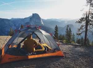
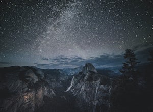
Camp at Glacier Point
4.79.17 mi / 3491 ft gainEveryone that knows Yosemite, knows Glacier Point. An overlook that attracts thousands of people per day that drive up via Glacier Point Road is rarely vacant of the hustle and bustle of people. However, there is a loop hole here, and when the stars align you can have Glacier Point ALL to yoursel...Read more -
Mariposa County, California
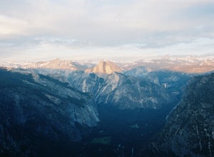
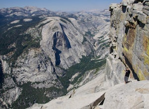
Glacier Point via Four Mile Trail
5.09.59 mi / 3200 ft gainGlacier Point is one of the highlights of Yosemite. The point is located at the end of Glacier Point Road. This viewpoint allows you to survey the entire Yosemite Valley and gives the viewer a captivating sight of Half Dome. It's a little bit of a tourist trap (especially during the summer season...Read more -
Mariposa County, California
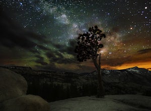
Olmsted Point
5.00.4 miJust off the side of the highway, look for the pullout for Olmsted Point on your Map. There is a parking area with about 25 parking spots and the lookout point with the tree is right next to there. Come in the summertime and during a new moon to get the best views of the Milky Way. Never crowded,...Read more -
Yosemite Village, California
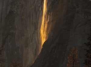
Witness Yosemite's Firefall
5.00.1 mi / 0 ft gainOver 5 million visitors flock to Yosemite National Park in California's Sierra Nevada Mountain Range every year to take in the geological splendor. While most visitors get to see the park's waterfalls, very few ever get to witness the Firefall. For two weeks between mid-late February, a small wat...Read more -
YOSEMITE NATIONAL PARK, California
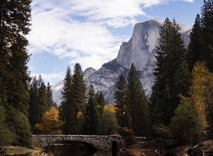
Photograph Stoneman Bridge in Yosemite NP
4.5This location turned out to be one of our favorite unplanned stops in the Yosemite Valley to photograph and explore.Stoneman Bridge was constructed in 1933 and spans 72 feet long. The Merced River flows under this classic stone bridge providing very photogenic reflections, with Half Dome in the b...Read more

