Pescadero, California
Looking for the best photography in Pescadero? We've got you covered with the top trails, trips, hiking, backpacking, camping and more around Pescadero. The detailed guides, photos, and reviews are all submitted by the Outbound community.
Top Photography Spots in and near Pescadero
-
Santa Cruz, California
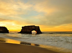
Natural Bridges State Beach
4.3Natural Bridges State Beach is a wonderful place to photograph located in Santa Cruz off of West Cliff Drive. This is a great place to practice long exposure photography to capture awesome water movement as it passes through the "Natural Bridge" formation. The best time to shoot this spot is at ...Read more -
Santa Cruz, California
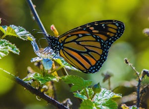
Photograph Monarch Butterflies at Natural Bridges' Monarch Grove
4.3The park's Monarch Grove provides a temporary home for thousands of Monarchs. From late fall into winter they make this their home and if you time it perfectly you can see them in clusters in the trees. When you reached the Natural Bridges State Park, on the right of the Visitors Center you'll f...Read more -
Santa Cruz, California
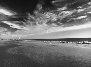
Beach Day at Lighthouse Field State Beach
4.0This beach is less crowded compared to other beaches in Santa Cruz. I got there early on a Saturday and found easy street parking. There was plenty of space to spread out on the soft sand. Later in the day I saw dolphins several times! This is close to the Santa Cruz Surfing Museum. It’s als...Read more -
Daly City, California
Mussel Rock Loop
4.01.95 mi / 322 ft gainMussel rock, a three-story, 50 million year old rock that has been carried some 500 miles northwest from Southern California, is where the San Andreas fault meets the Pacific Ocean. It's also an excellent spot to drink some wine and catch a sunset. From San Francisco, take Highway 1 south towar...Read more -
Fremont, California
Mission Peak via Hidden Valley Trail
4.26.16 mi / 2116 ft gainBreathtaking views of the Bay Area are your reward for making this climb to the top of Mission Peak. It’s a 3-mile trek to the top of the peak and then back down the same way. This is a moderate hike that provides a nice workout – so be prepared. Park at the Stanford Avenue entrance gate. There ...Read more -
Aptos, California
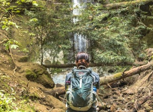
Hike to Nisene Marks' Maple Falls
4.68.5 mi / 900 ft gainAs you enter the park, you'll need to pay $8 for parking via a self-pay envelope, so it's recommended that you bring exact change. At the park booth, be sure to grab a map. The hike can be a little tricky with no cell service and limited trail signage. Once you've grabbed your map, keep driving p...Read more -
San Francisco, California
Fort Funston Trail
4.71.81 mi / 253 ft gainFort Funston is an SF gem I discovered when looking for a dog friendly hike near the city. Located west of Lake Merced, you'll find a gorgeous Northern California beach oasis where you and your dog can run wild and free :). Parking is located at the top of the park where you'll descend a steep se...Read more -
San Francisco, California
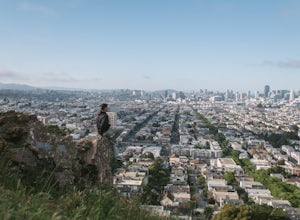
Bernal Heights Park
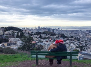
4.70.95 mi / 128 ft gainBernal Heights Park is an excellent week night adventure for those who need an escape from the city. Sit atop this small, grassy peak in peace and look out over the San Francisco skyline. Park on the street bordering the park and follow a pathway that leads up to the top. You will be instantly g...Read more -
San Francisco, California
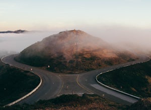
Catch a Sunset at Twin Peaks
4.6Most locals have heard of Twin Peaks, so if you hop in an Uber or Taxi you should be just fine. If not or you are driving yourself, head for Twin Peaks Boulevard, then just follow it to the top. Voila!When you're there, be sure to catch a sunset, as it is absolutely breath-taking, If you are luck...Read more -
Morgan Hill, California
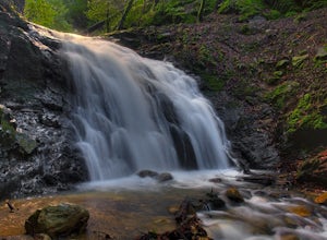
Uvas Canyon Waterfall Hike
4.01.5 miUvas Canyon offers up to 6-miles of hiking trails, which includes a 1.5 mile loop, which runs along Swanson Creek and passes many of the park's waterfalls. To take short loop, head North out of the parking lot to the Swanson Creek Trail. Once you find Swanson Creek Trail, you'll be on the Waterfa...Read more -
San Francisco, California
Grand View Park ("Turtle Hill")
5.00.21 mi / 7 ft gainA recipe for happiness in the "cool grey city of love." To the seasoned San Franciscan there is no finer view in the Bay Area than that from San Francisco's front porch, Turtle Hill or "Grand View Park". If the North American continent / plate is a ship, then Grand View Park is the prow giving e...Read more -
San Francisco, California
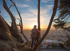
Tank Hill
4.30.14 mi / 49 ft gainLooking for a cool, under-the-radar spot that’s perfect for picnics, chilling out, and chasing the sunset? Look no further than Tank Hill. This little gem of a mini-park is 650 feet high and tucked away in Cole Valley. It’s so small that many maps of San Francisco don’t even include it. To get ...Read more -
San Francisco, California
Mount Sutro Open Space Reserve Loop
4.42.14 mi / 617 ft gainThe Mount Sutro Open Space hike is one of those gems that's just hiding in plain site. Most people live in San Francisco for years without ever knowing this hike even exists - which is totally fine with us. This 2+ mile loop is an easy, quick way to get back in touch with nature after a long day....Read more -
Sunol, California
Little Yosemite via Canyon View Trail
4.03.01 mi / 705 ft gainPlease note this is a fragile ecosystem and watershed. There is NO swimming allowed in Alameda Creek and trespassing is prohibited on Water Department lands that are not accessible to the public. You can learn more about the restrictions and the area at ebparks.org. After entering the kiosk you...Read more -
San Francisco, California
Corona Heights Park
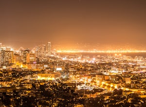
5.00.65 mi / 115 ft gainCorona Heights Park is a park located north of the Castro and South of Buena Vista Park. The peak of the hill is windy, but it offers an unobstructed panoramic view of the city of San Francisco from downtown to Twin Peaks. It is perfect for taking panoramic pictures of San Francisco at night. Y...Read more -
San Francisco, California
Alamo Park Square Park
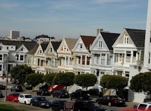
4.6If you’re ever in San Francisco, you’ll definitely want to spend a bit of time in Alamo Square gazing at these stellar examples of San Francisco history. This is a beautiful and popular green space, where you have uninterrupted views of the iconic Painted Ladies. The Painted Ladies are row of...Read more

