Pauma Valley, California
Looking for the best photography in Pauma Valley? We've got you covered with the top trails, trips, hiking, backpacking, camping and more around Pauma Valley. The detailed guides, photos, and reviews are all submitted by the Outbound community.
Top Photography Spots in and near Pauma Valley
-
Oceanside, California
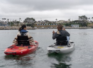
Kayak the Oceanside Harbor
Sea kayaking from the Oceanside Harbor public kayak launch is one of the best ways to experience the Oceanside coast and the Pacific Ocean. There is ample parking along North Harbor Drive with the public kayak launch well-marked on the street. You can paddle around the harbor or you can go out pa...Read more -
Encinitas, California
Photograph Surfers at Beacons Beach
5.0Pack for a day of fun, and don’t forget your camera! Getting there is easy. You can plug “beacons beach” or Leucadia State Beach right into your gps. You’ll find it right off of Neptune Street, where you can park in the parking lot on top of the sea bluff. Walk down the windy beach trail and you ...Read more -
Ramona, California
Cedar Creek Falls
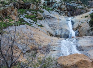
4.85.52 mi / 1024 ft gainThe trail to Cedar Falls starts out at a hill in a residential area and ends in an unexpected spot where there is a beautiful waterfall complete with a swimming hole. Surrounded by 75-foot-high cliffs, a magnificent waterfall splashes into a pool known as the Devil’s Punch Bowl. Hikers have been ...Read more -
Encinitas, California
Stonesteps Beach
Stonesteps Beach is incredibly scenic during every season. In the winter this beach is usually fairly rocky, and in the spring/summer the sand returns. If you're looking to hang out on this beach just be sure to set up your towel or chair a good ways away from the cliffside as there is a lot of...Read more -
San Diego, California
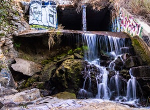
Explore Chambers Hidden Dam and Waterfall
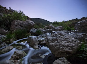
3.20.5 miOnce you get off on Poway road, turn right onto Sabre Springs Parkway. Take your immediate left onto Creekbridge Road and park right there on the hill. Walk straight down towards the black gate and go down the hill. Turn right on the trail and walk down 1/4 mile to the dam, and another 500 yards ...Read more -
Encinitas, California
Encinitas Coastal Rail Trail
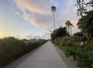
2.61 mi / 33 ft gainThe Cardiff/Encinitas Coastal Rail Trail (part of the longer, ongoing project to eventually run 44 miles between Oceanside and San Diego) is a beautiful, mellow, and well-maintained pathway that runs from the corner of Chesterfield Dr. & San Elijo Ave. (right across the street from the Patago...Read more -
San Diego County, California
Camp On the Abandoned Santa Margarita Lookout Helipad
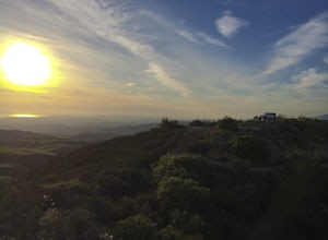
4.3Starting in Murrieta, CA you don't have to venture far to enjoy a beautiful view and less light polluted skies.From Murrieta on the I-15 freeway you're going to want to take the Clinton Kieth Road exit and head west. If you're low on gas make sure to fill up at the 7 Eleven on the left corner. Th...Read more -
San Diego, California
Los Penasquitos Canyon Loop
3.36.77 mi / 131 ft gainLos Penasquitos Canyon Loop After about a five minute hike on the trail you will start to enter into Los Penasquitos Canyon. Every section of the trail is different, one minute you are walking next to a stream with trees arching over the trail and another minute you are walking through an open f...Read more -
Solana Beach, California
Annie’s Canyon Trailhead
4.72 mi / 100 ft gainIf you're looking for a super short hike, this 10 minute flat walk couldn't be more ideal. Start at 840 N Rios Avenue, Solana beach and walk east towards the FWY 5 where you will see Annie’s Canyon on your right. There is only one way to go up the canyons and it gets pretty tight in places, but y...Read more -
Santa Ysabel, California
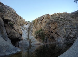
Three Sisters Falls
4.93.42 mi / 906 ft gainThree Sisters Falls is by far the best hike, for the most reward, that I've gone on in the close vicinity of San Diego. Only a short hour and a half drive from downtown San Diego, the hike offers all the draws of a National Park: remote wilderness, strenuous hiking, scenic mountain views, and ama...Read more -
San Diego County, California
Hike Sheep Canyon
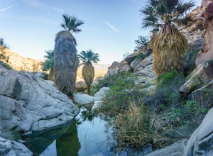
5.03 mi / 1000 ft gainSheep Canyon is probably the most remote palm canyon in Anza-Borrego Desert State Park in California. While Palm Canyon is easily accessed from the State Park campground, Sheep Canyon is on a dirt road that requires stream crossings and potentially a high-clearance 4WD vehicle. The canyon is nam...Read more -
Del Mar, California
Sunset Seat in Del Mar
3.8In a place in our country where you can take an epic sunset picture nearly everyday, its hard say there is one location tin San Diego that is better than another. I'll let you in my new favorite secret spot to take amazing sunset pictures with a cool piece of art work at the location. Visit the t...Read more -
Hemet, California
Hike South Fork Trail
5.4 mi / 1056 ft gainBegin by following the unsigned but visible trail on the south side of the turnout. You climb steadily through bushes and past granite boulders. At half a mile, you pass over to the western slope of the hill where the trail bends southeast, providing your first look of the river valley far below....Read more -
San Diego, California
Guy Fleming Trail
5.00.76 mi / 95 ft gainThis trail is located in Torrey Pines State Natural Reserve, a beautiful area about 20-30 minutes north of San Diego. To access the reserve, park in the lot off of North Torrey Pines Road (pay $10 to park). If you don't want to walk up the huge hill at the beginning (it is steep and long), I beli...Read more -
San Diego, California
Torrey Pines Beach Trail Loop
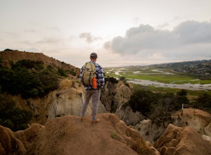
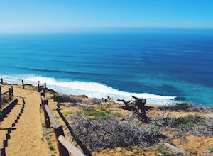
4.72.15 mi / 374 ft gainThe beach trail brings you from the parking lot across the lodge from the bluff down to the beach. You can choose to visit the Red Butte, the Razor Point, and the Yucca Point trails along the way. Of the other trails, this trail seems to provide a complete walkthrough of geological features; it a...Read more -
San Diego, California
Razor Point, Beach Trail, & Broken Hill Trail Loop
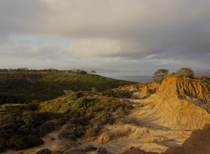
5.03.21 mi / 440 ft gainThe parking area for all of Torrey Pines State Natural Reserve is located right off North Torrey Pines Road (where the location is for this hike), about 20-30 minutes north of San Diego. It's $10 to park, and there was also a smaller parking lot at the top of the hill if you want to avoid the ini...Read more

