Pacific Crest Trail, California
Looking for the best camping in Pacific Crest Trail? We've got you covered with the top trails, trips, hiking, backpacking, camping and more around Pacific Crest Trail. The detailed guides, photos, and reviews are all submitted by the Outbound community.
Top Camping Spots in and near Pacific Crest Trail
-
37.732842,-119.557782
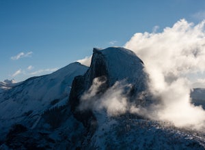
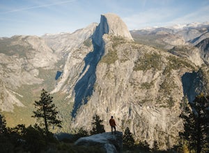
Panorama Trail
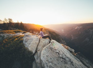
4.816.87 mi / 3200 ft gainThe Panorama Trail is an outstanding hike that takes you from the Yosemite Valley floor up to Glacier Point. Or you can hike it downhill going from Glacier Point to Yosemite Valley. You can camp and make it an overnight trip or do it as a day trip by leaving a car at one end and taking a park sh...Read more -
Lee Vining, California
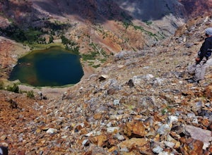
Hike to Upper Sardine Lake
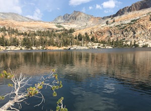
Directions (from south of June Lake): 395 northTurn right onto the 158Keep right at fork onto Parker Lake Rd and go about 0.5 milesTurn right at first right and head all the way to the top until you hit a parking lot/camping ground/trail head From North of June Lake: 395 southTurn left at 158Keep...Read more -
Mariposa County, California
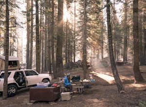
Camp at Crane Flat Campground
Crane Flat Campground is located on the Big Oak Flat Road (Highway 120) just west of Crane Flat, about 30 minutes northwest of Yosemite Valley. Sites are open July-October at $26/night. More info at https://www.nps.gov/yose/plany...Read more -
Mariposa County, California
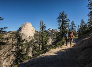
Backpack to Clouds Rest from Glacier Point
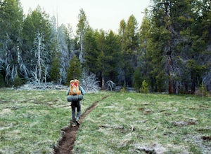
4.023.85 mi / 6942 ft gainStart from Glacier Point around 7,200 feet leaving on the Panoramic Trail. Head down 2 miles to Illilouette Falls (5,800 feet). Once you cross the bridge at Illilouette Falls you go up Panorama Point and head back down to Nevada Falls (5,971 feet). Once you reach Nevada Falls fill up on as much w...Read more -
Mariposa County, California
Dewey Point via Tunnel View
5.09.25 mi / 2979 ft gainDewey Point lies on the western side of the Pohono Trail, across the valley from El Capitan and above Cathedral Rocks. When I was there in September, it was deserted but for a few birds drifting on the thermals above the cliffs. The sunset was stunning. It felt like there was nothing between me a...Read more -
Arnold, California
Hike the North Grove Trail in Calaveras Big Trees SP
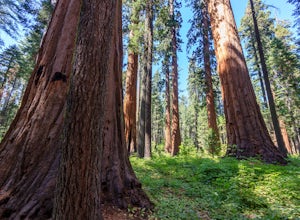
5.01.7 mi / 40 ft gainWhen thinking of the iconic Sequoias of the Sierra Nevada, one usually thinks of Yosemite and Sequoia National Park. However, there is a often forgotten area of Giant Sierra Redwoods that gets far less traffic than the more popular groves. The North Grove Trail takes you through a grove of over 1...Read more -
Mariposa County, California
Backpack to Lower Ottoway Lake
32 mi / 2400 ft gainThe hike begins at Mono Meadows trailhead along Glacier Point Road, first descending 2.8 steep miles to Illilouette Creek. Above the Illilouette Junction, take in views of the Valley's granite domes before beginning the post-burn forested slog. The trail covers an additional 10 miles of relativel...Read more -
YOSEMITE NATIONAL PARK, California
Dewey Point via McGurk Meadow Trailhead
5.07.51 mi / 300 ft gainBefore you start, be sure to visit the Yosemite Valley Visitor Center and grab an overnight permit. More info on this at nps.gov. This trail meanders through beautiful, dense meadows full of wildlife - watch for bears! When you're not hiking among the wildflowers and babbling brooks, you're enc...Read more -
Alpine County, California
Hike The Sisters in the Mokelumnee Wilderness
8 mi / 2500 ft gainThe Sisters offer a great day hike with fun scrambling and beautiful views of the Northern Sierra, Lake Tahoe, the Mokelumnee Wilderness, and the Carson River Canyon.The trail to The Sisters begins at Woods Lake (38.6855° N, 120.0095° W), at the end of Woods Lake Road off Highway 88, 1.5 miles we...Read more -
Groveland, California
Drive the Yosemite Valley Loop
4.3Upon entering Yosemite Valley National Park I made it a point to see Half Dome, El Capitan, and Washington Column and several other famous Yosemite formations. What I didn't realize was as soon as I entered The Village was that all could be seen within a 15 minute loop around the valley floor. Th...Read more -
Pioneer, California
Camping at The Pots
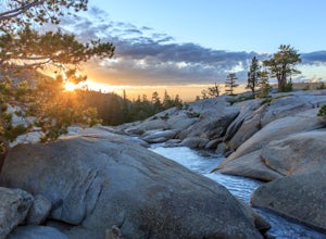
4.2This fantastic camping or chilling spot has beautiful granite pools and slides of all sizes. The area consists of a river flowing over a granite slab creating pools some of which are over ten feet deep. The water cascades down the granite in small water falls. The area is located next to Silver L...Read more -
Bishop, California
Camp at Oh Ridge Campground on June Lake
5.0Nestled along the shores of picturesque June Lake, is the Oh Ridge campground. Oh Ridge has access to the beach of June Lake via Pine Cliff Road, and the town of June lake as well as Gull Lake, Silver Lake, and Grant Lake are all within a short driving distance along the June Lake Loop. Mammoth ...Read more -
June Lake, California
Explore June Lake
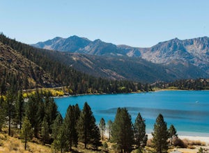
4.7June Lake is a hidden gem in the Eastern Sierra, just north of Mammoth Lakes. June Lake is a quaint little lake with spectacular views. The neighboring town of the same name also boasts a brewery with tasty brews. For a truly unforgettable sunset, grab some brews and walk over to June Lake for th...Read more -
June Lake, California
Gull Lake Loop
1.97 mi / 174 ft gainGull Lake trail is one of my favorite hiking spots in the June Lake Loop area. It is a very scenic trail that goes through varying terrains from meadows to marshes to aspen and conifer groves. Trailhead starts at the Mono County Community Center and winds counter-clockwise around the lake to th...Read more -
Mariposa County, California
Hike to Alder Creek Falls
10 mi / 1000 ft gainThe trail leads from the parking area across the Mosquito Creek road and heads uphill north through an open pine forest with manzanita growing on dry slopes. The trail provides access to Alder Creek Falls a hidden gem within Yosemite's Wawona wilderness. I did the trail towards the end of Februar...Read more -
Yosemite National Park, California
Buena Vista Lake via Chilnualna Falls Trailhead
24.64 mi / 5453 ft gainHiking and camping at Buena Vista Lake is a beautiful way to see the south side of Yosemite… the name says it all. With beautiful 360 degree views from Buena Vista Peak you get to look at the backside of Half Dome, up to Clouds Rest and all the domes and peaks in-between. You can reach the trail...Read more

