Orcutt, California
Looking for the best chillin in Orcutt? We've got you covered with the top trails, trips, hiking, backpacking, camping and more around Orcutt. The detailed guides, photos, and reviews are all submitted by the Outbound community.
Top Chillin Spots in and near Orcutt
-
Baywood-Los Osos, California
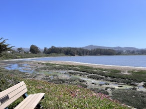
Baywood Park & Pier
5.0A quiet little beach front, with a raised boardwalk and beautiful views all around. A great place to walk the dog or take small children. Amazing sunsets and A+ for bird watching. Excellent spot to launch a kayak, canoe, or SUP. But watch the tides before you do. The water is usually glassy when ...Read more -
Santa Margarita, California
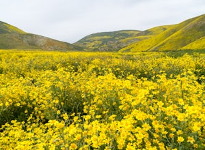
Photograph Wildflowers at Carrizo Plain National Monument
5.0Driving in from Hwy 58 East, you will be passing through a grapevine, and through some hills. Once you hit the Seven Mile Road, you will start to see fields of yellow flowers all around you - this is where the adventure starts. Just continue to drive along the road until you find a great spot to ...Read more -
Santa Barbara, California
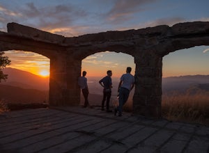
Hike to Knapp's Castle
4.20.8 miOne of the many hidden gems near Santa Barbara, Knapp's Castle is an abandoned home built in 1916 by George Knapp. Finding the trailhead can be difficult because it's not clearly marked and the road it's starts from is long, winding and narrow. Coming from the 154, turn right on East Camino Cielo...Read more -
Santa Barbara, California
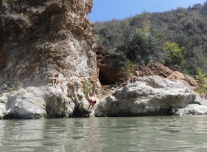
Red Rock Pools
0.89 mi / 10 ft gainRed Rock Pools is a relatively popular swimming hole located along the Santa Ynez River about an hour outside of Santa Barbara, California. The trail to the swimming hole is relatively short, but more pools can be found if you follow the Gibraltar Trail down to the Gibraltar Dam (an additional ...Read more -
Santa Barbara, California
La Cumbre Peak via Tunnel Trail
9.96 mi / 3310 ft gainTunnel Trail is a great way to get to the top of La Cumbre Peak. You get to the trailhead by taking Tunnel Road until it dead ends at a large water tower, there you can park your car and start on foot. You take Spyglass Ridge Road up which is a paved fire road until it becomes dirt when you get o...Read more

