Orange, California
Looking for the best photography in Orange? We've got you covered with the top trails, trips, hiking, backpacking, camping and more around Orange. The detailed guides, photos, and reviews are all submitted by the Outbound community.
Top Photography Spots in and near Orange
-
Pasadena, California
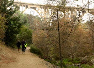
Lower Arroyo Seco Loop
4.02.88 mi / 230 ft gainNestled next to the CA-134, this trail presents a relaxing atmosphere while only a 30 minute drive from Downtown Los Angeles and a 5 minute drive from Old Town Pasadena. From bird-watching to archery, this trail provides a peaceful atmosphere with no lapse in beauty. The trail which is around 1....Read more -
Pasadena, California
Eaton Canyon Falls via Eaton Canyon Trailhead
4.23.54 mi / 528 ft gainThe hidden forty-foot-tall Eaton Canyon Falls fills an amphitheater at the top of Eaton Canyon Trail, tumbling into a wide pool that you can rest alongside or wade in. Normally the water is waist deep, but during this recent trip, we found the water only to stop at our ankles as it tends to fluct...Read more -
Los Angeles, California
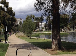
Echo Park Lake
3.00.98 mi / 0 ft gainEcho Park Lake in Los Angeles has a loop that is about 1 mile around. It’s a pretty busy park, that has ducks and geese everywhere. Beautiful lotus blossoms and iris flowers in the lake. Generally flat and one tiny incline that can easily be avoided. You can also rent swan paddleboats that light ...Read more -
La Verne, California
Cattle Canyon Trail
6.7 mi / 1066 ft gainWithin the San Gabriel Mountains from Highway 39 and along East Fork Road is Cattle Canyon. To go through Cattle Canyon, you can access the trail head just south of the Bridge to Nowhere trail head along East Fork Road right after it intersects with Glendora Mountain Road. There is a small parkin...Read more -
Pasadena, California
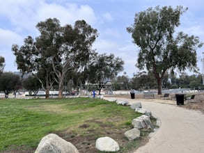
Central Arroyo Seco Community Recreation Loop
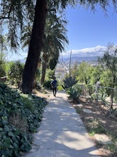
5.00.66 mi / 36 ft gainBeautiful views of the Rose Bowl and surrounding San Gabriel Mountains. A protected .75 mile loop, that offers an easy path, to stroll along. You’ll find convenient water filling stations, clean bathrooms, and a fitness area, along the path. Easy parking all around.Read more -
Los Angeles, California
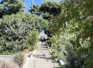
Mattachine Steps
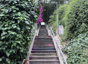
5.00.09 mi / 52 ft gainThe Mattachine Steps, also known as the Cove Avenue stairway, is dedicated to the Mattachine Society (The name was taken from a medieval French secret society that set out to right wrongs.) in 2012 in memory of Harry Hay, who cofounded the gay rights group. Right along this stairway is a small ho...Read more -
Rancho Palos Verdes, California
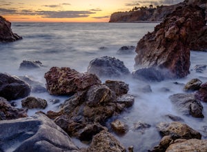
Terranea Beach Sea Cave
4.31.63 mi / 210 ft gainHead to the Pelican Cove parking lot where there’s plenty of free parking right at the trailhead. From the parking lot, take the Terranea Beach Trail and you will see views of the Point Vicente Lighthouse down the coast to your right. Continue on the trail through the luxury Terranea Resort whic...Read more -
Rancho Palos Verdes, California
Pelican Cove
0.38 mi / 95 ft gainGetting There Coming from San Pedro, make a U-turn at the Hawthorne Boulevard stoplight onto Palos Verdes Drive South. From here, you can access the parking lot for Pelican Cove, where you'll get a 120° view of the ocean. It might be tempting to take in the sunset from the car, but you should def...Read more -
Hermosa Beach, California
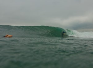
Surf at El Porto
4.0The South Bay of LA has plenty of good surf. Sand bars are back and its fun...watch out for the sharks.Read more -
Palos Verdes Estates, California
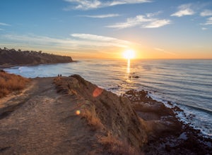
Bluff Cove
4.40.56 mi / 144 ft gainParking for Bluff Cove is located along the sides of the street of Paseo Del Mar, and the trailhead is located right next to the street. Bluff Cove is one of those unique locations in that there are a variety of activities you can do here. It is a great location for surfing, paddle boarding, bod...Read more -
Los Angeles, California
Piano Mural Staircase aka “Murray Staircase”
5.00.08 mi / 69 ft gainThe “Piano Stairs” is a stair mural in Silver Lake neighborhood section of LA. Not to be confused with the “Music Box” staircase that is close by. These 90 steps were painted to look like the piano keyboard by the artist Carrey. Great for a cardio workout and not as creepy as some of the stairs h...Read more -
Los Angeles, California
Micheltorena Stairs
3.00.19 mi / 75 ft gainI preferred the steps, before anything was painted on them. Whoever thought it would be a great idea to do that was wrong. No upkeep and these stairs have been heavily vandalized. The steps are a series of stairways you will find throughout Silver Lake and neighboring areas. They facilitated peo...Read more -
Claremont, California
Stoddard Peak Trail
4.05.93 mi / 1129 ft gainOn the way to Mount Baldy and within the trail system of the San Gabriel mountain range is the Stoddard Peak Trail. The Stoddard Peak Trail, which is basically the old Barrett-Stoddard fire road, goes through the Stoddard Canyon into Stoddard Flat, and then eventually leads to Stoddard Peak. The ...Read more -
Los Angeles, California
Secret Stairs Astro Loop
2.34.21 mi / 600 ft gainI learned about these remnants of Los Angeles history, just a few months ago. When I found myself in L.A. this past month, I decided to find some of these stairs, and find out what they’re all about. Back in the 1920’s these stairs were created for pedestrians to have direct routes to the trans...Read more -
Mount Baldy, California
Sunset Peak via South Trailhead
4.07.16 mi / 1493 ft gainIn order to get to the Sunset Peak Trailhead, utilize Google Maps to take you to the location provided. There is very little parking (only a small pull off along Glendora Ridge Road), but this trail is rarely traveled, so there should be enough space regardless of the time you decide to hike! Jus...Read more -
Los Angeles, California
Landa St Stairs (Esther's Steps)
5.00.18 mi / 138 ft gainOne of the hidden gems of the neighborhood, a beloved local named Esther Aagaard Tapebland walked these steps everyday, for 50 years in Silver Lake. Fountain Ave becomes Landa St. Park on Griffith Park Ave and hike your way up the steep driveway. Amazing views of Hollywood, the Hollywood Sign, th...Read more

