Oak Park, California
Looking for the best photography in Oak Park? We've got you covered with the top trails, trips, hiking, backpacking, camping and more around Oak Park. The detailed guides, photos, and reviews are all submitted by the Outbound community.
Top Photography Spots in and near Oak Park
-
Ventura County, California
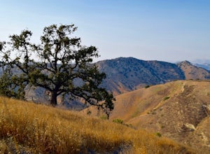
Hike the Upper Las Virgenes Canyon Open Space Preserve Trail
8.6 mi / 1851 ft gainThe most popular point of entry is through the Victory Trailhead, which has ample parking. You can park on the street or you can pay $3 to park at the trailhead parking lot. You can also enter at the Upper Las Virgenes Canyon Trailhead at the northern end of Las Virgenes Canyon Road in Calabasas....Read more -
Agoura Hills, California
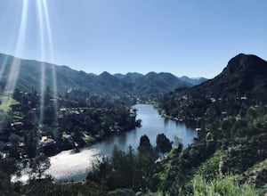
Malibu Lake Overlook
5.04.12 mi / 741 ft gainTo get to the trail, use the address 27800 Mulholland Highway, Agoura Hills, CA 91301. This will take you to a dirt pull off right off the Mulholland Highway. At the southern part of the pull off, you'll see a dirt path leading up and away from the road. This is the Cistern Trail Trailhead. You'l...Read more -
Agoura Hills, California
Rock Climbing in Malibu Creek
A great day trip! Referred to by many as the "Yosemite of Southern California," Malibu Creek offers a huge selection of bolted sport routes on generously pocketed volcanic rock. This is the perfect place to bring a first time climber or even your most seasoned climbing buddies. Routes range from ...Read more -
Los Angeles, California
Cave of Munits
4.51.53 mi / 299 ft gainAre you looking for a hike that offers trail running, scenic views, hiking, and CAVE exploring? This short, but exciting trail leads you on a short 0.8 mile hike to the Cave of Munits. When starting at the main trailhead, El Scorpion Park, take the wide paved dirt road all the way till you get to...Read more -
Agoura Hills, California
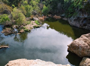
Malibu Creek Rock Pool
3.92.04 mi / 105 ft gainThe trail starts out from the main parking lot past the ranger station at Malibu Creek State Park. Begin hiking west on Crags Road, a well maintained trail that meanders along the creek. As you walk, you'll pass under large oak trees and enjoy expansive views of the Santa Monica Mountains. Aft...Read more -
Agoura Hills, California
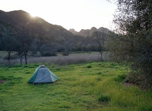
Camp at Malibu Creek State Park
5.0Malibu Creek State Park boasts over 8,000 acres of oak woodlands, grassy hills, dramatic peaks and serene meadows. It's an outdoor lover's paradise and only a short drive north from most of Los Angeles. Before it was a park, the land was owned by 20th Century Fox Studios and used in productions...Read more -
Los Angeles County, California
Backbone Trail via Corral Canyon
5.02.08 mi / 89 ft gainThe backbone trail was a vision that started in the 1980’s. It is a trail that stretches 65 Miles starting in Will Rodgers State Historic Park and ending at Thornhill Broome Beach. It has many entrance and exit points but it is anchored in the middle by the Coral Canyon Trail Head. The full trail...Read more -
Malibu, California
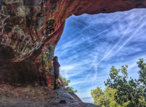
Jim Morrison Cave
3.21.2 mi / 600 ft gainNote: Jim Morrison Cave is closed indefinitely. The bright colors of the Jim Morrison Cave are something to not be missed, and is appreciated by people of all ages. The cave also provides a beautiful outlook of the Malibu canyon, Malibu State Park and the Pacific Ocean. There is a ton of rock ho...Read more -
Malibu, California
Hike the Backbone East from Latigo Canyon
3.8 mi / 780 ft gainStarting in a dusty, generally empty parking lot, at about 2,000' ASL, you'll go immediately due north, up a few more feet before you drop down into another canyon covered in live oaks (and poison oak), thistles, ferns, and wildflowers. There's only one trail. It's windy, it's not hilly, it just ...Read more -
Malibu, California
Newton & Zuma Canyon Falls
4.32 mi / -600 ft gainThree waterfalls in one short hike?!...I'll take it! That's what you'll get if you make the visit to these falls in the Santa Monica mountains in Malibu. The trailhead starts on Kanan Dume road, which is also where the Backbone trail meets. Park in the designated (free) parking area and take the ...Read more -
Topanga, California
Calabasas Peak Motorway
7.23 mi / 1565 ft gainGetting There You can, from Los Angeles, go one of three ways: take I-405 to US-101 and head west, or from downtown, take US-101 the whole way, OR, get on I-10 from the Westside or east of there and take that until it becomes PCH, then take that to Topanga Canyon (turn left onto Old Topanga Cany...Read more -
Thousand Oaks, California
Hiking Wildwood Regional Park
3.8Wildwood Regional Park is open year-round, easily accessible, and offers great routes for hiking, running, biking, and even horseback riding. There are also two waterfalls inside the park—the larger of the two, Paradise Falls, cascades 40 feet into a large pool. To catch some beautiful views of t...Read more -
Thousand Oaks, California
Paradise Falls Loop
4.32.26 mi / 300 ft gainThe hike to Paradise Falls is about 1.5 miles one way with around 300 feet elevation change. Take it easy starting the hike because the real challenge is the change in elevation going back to your car since you'll be going uphill. At the trailhead, follow the signs indicating the location of Para...Read more -
Topanga, California
Top of Topanga Overlook
1 mi / 1613 ft gainThe Top of Topanga Overlook is where you can simply park your car, and sit in one of the benches to view the San Fernando Valley. But there is one hiking trail in that area which lets you get better vantage points, as well as a quick workout. Once you get to the overlook, park your car and safel...Read more -
Malibu, California
Sandstone Peak
4.83.03 mi / 971 ft gainIf you live in Los Angeles, Sandstone Peak is a must! The hike to the summit can be done on a 2 mile hike up and back on Sandstone Peak Trail, or a 6.5 mile hike up and back on Backbone Trail. The shorter trail is more popular, yet both are equally rewarding. You won't believe the views from the...Read more -
Malibu, California
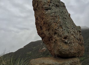
Balanced Rock via Sandstone Trailhead
5.04.36 mi / 1125 ft gain...From the PCH, make a left turn on Yerba Buena road (turn right if you're coming South) for about 6 miles until you get to the dirt parking area. If the lot is full, there's extra parking on the side of the road. FYI, Balanced Rock can also be accessed by starting at the Mishe Mokwa trailhead,...Read more

