Newbury Park, California
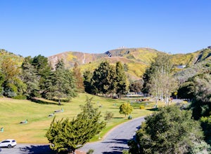
Newbury Park, California is home to some of the best trails and outdoor activities. The top must-visit is the Satwiwa Loop Trail, a moderate 1.5-mile loop that offers scenic views of the Santa Monica Mountains and the Pacific Ocean. The trail passes by a historic Chumash Native American site and a stunning wildflower meadow. For a more challenging hike, the Boney Mountain Trail is a 6-mile round trip with panoramic vistas and unique rock formations. The Dos Vientos Community Park is a great place for family picnics, while the Conejo Creek North Park features a duck pond and beautiful gardens. For birdwatching and wildlife viewing, the Rancho Sierra Vista/Satwiwa is a must. Don't miss the chance to explore these outdoor adventures in and near Newbury Park.
Top Spots in and near Newbury Park
-
Agoura Hills, California
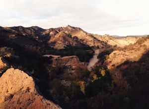
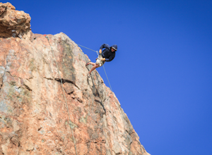
Rock Climbing in Malibu Creek
A great day trip! Referred to by many as the "Yosemite of Southern California," Malibu Creek offers a huge selection of bolted sport routes on generously pocketed volcanic rock. This is the perfect place to bring a first time climber or even your most seasoned climbing buddies. Routes range from ...Read more -
Agoura Hills, California
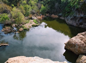
Malibu Creek Rock Pool
3.92.04 mi / 105 ft gainThe trail starts out from the main parking lot past the ranger station at Malibu Creek State Park. Begin hiking west on Crags Road, a well maintained trail that meanders along the creek. As you walk, you'll pass under large oak trees and enjoy expansive views of the Santa Monica Mountains. Aft...Read more -
Agoura Hills, California
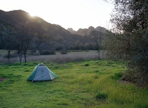
Camp at Malibu Creek State Park
5.0Malibu Creek State Park boasts over 8,000 acres of oak woodlands, grassy hills, dramatic peaks and serene meadows. It's an outdoor lover's paradise and only a short drive north from most of Los Angeles. Before it was a park, the land was owned by 20th Century Fox Studios and used in productions...Read more -
Malibu, California
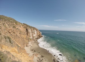
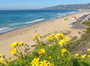
Point Dume
4.80.95 mi / 141 ft gainFrom the parking lot, make your way towards Point Dume. You will find the entrance to the trail at the end of the lot. The trail is a bit sandy, but fairly easy. Be careful of the cactus plants along the trail! Make your way up towards the cliff and you'll notice ropes hanging on the edge. Don't...Read more -
Malibu, California
Paradise Cove via Point Dume
5.04.74 mi / 338 ft gainYou will start your beach-hiking to Paradise Cove from Point Dume which is located 20 miles north of Santa Monica on Pacific Coast Highway (PCH). On PCH, take left on Westward Beach Road and follow it to the end. Try to park as close to the end of the paid parking lot. You can use the automated m...Read more -
Malibu, California
Rock Climb at Point Dume
4.0There are a couple of different ways to get to the rock, but the easiest will be at the end of Westward Beach Rd. The rock is impossible to miss as you drive further down the beach. Once parked, which I believe you have to pay for beyond a certain point, it's a short walk out on the sand to the b...Read more -
Ventura County, California
Hike the Upper Las Virgenes Canyon Open Space Preserve Trail
8.6 mi / 1851 ft gainThe most popular point of entry is through the Victory Trailhead, which has ample parking. You can park on the street or you can pay $3 to park at the trailhead parking lot. You can also enter at the Upper Las Virgenes Canyon Trailhead at the northern end of Las Virgenes Canyon Road in Calabasas....Read more -
Los Angeles, California
Cave of Munits
4.51.53 mi / 299 ft gainAre you looking for a hike that offers trail running, scenic views, hiking, and CAVE exploring? This short, but exciting trail leads you on a short 0.8 mile hike to the Cave of Munits. When starting at the main trailhead, El Scorpion Park, take the wide paved dirt road all the way till you get to...Read more -
Ventura, California
Hike Arroyo Verde Park
3.5 mi / 800 ft gainArroyo Verde Park is a small parked tucked in the hills above Ventura, California, and has a network of trails running up and down the hills surrounding the valley in the center of the park. The entrance to the park is at the intersection of Foothill Road Day Road, east of downtown Ventura. There...Read more -
Malibu, California
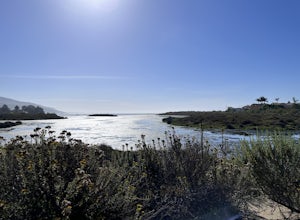
The Malibu Lagoon State Beach
5.02.11 mi / 98 ft gainThe Malibu Lagoon State Beach is a loop trail that takes you past scenic surroundings located near Malibu, California.Read more -
Topanga, California
Calabasas Peak Motorway
7.23 mi / 1565 ft gainGetting There You can, from Los Angeles, go one of three ways: take I-405 to US-101 and head west, or from downtown, take US-101 the whole way, OR, get on I-10 from the Westside or east of there and take that until it becomes PCH, then take that to Topanga Canyon (turn left onto Old Topanga Cany...Read more -
Malibu, California
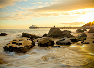
Photograph the Iconic Malibu Pier
3.2Less than a mile South from the small town center, Malibu Pier stretches out into the Pacific. The Pier has been in Malibu since 1905 and though much of Malibu has been built up around it, it has remained quite similar to when it was first constructed. You can either pay for parking right at the ...Read more -
Malibu, California
Surf Malibu Point
3.0Malibu point is an iconic surf spot located in Malibu, California. It's a very popular summer time spot due to the exposure to south swells. The majority of people longboard this surf spot. It's a very iconic wave with lots of history! The wave itself is a long right-hand point break that is r...Read more -
Topanga, California
Red Rock Canyon to Calabasas Peak
4.04.53 mi / 1004 ft gainWhen you get to the parking lot be sure to pay the $5 parking fee. You will need to place this in the provided envelope and drop it in the iron ranger. Start the hike by following the fire road behind the gate. About a couple of yards in, you will see a trail on your left which leads to a ghoul...Read more -
Calabasas, California
Hike and Rock Climb at Saddle Peak
5.0This is one of my favorite hikes in the Los Angeles area. Super easy, yet beautiful and a perfect place to get away from the city.Parking for the trailhead is where the three roads intersect. The parking area is a long strip of dirt, there will most likely be cars there when you arrive already th...Read more -
Ventura, California
Backpack to Del Norte Campground on Santa Cruz Island
5.07 mi / 700 ft gainDel Norte Backcountry Campground is located on Santa Cruz Island, one of the islands that makes up Channel Islands National Park. It is California's largest island and is almost three times the size of Manhattan. The easiest way to get to the island is to take Island Packers, a ferry service that...Read more

