Top Spots in and near Muir Woods National Monument
-
San Francisco, California
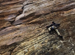
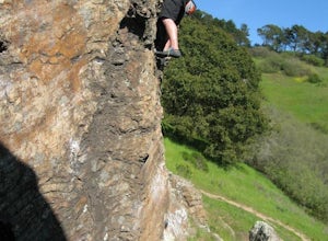
Beaver Street Wall is one of the few places to climb in the San Francisco city limits. The 45 ft. tall wall is located in the Corona Heights neighborhood, just north west of Market St. The routes on the wall range from 5.8 to 5.12. The wall features a prominent crack up the center, which makes th...
Read more
-
San Francisco, California
5.0
0.65 mi
/ 115 ft gain
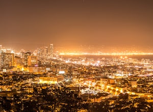
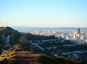
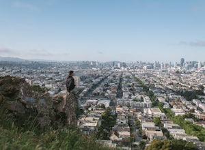
Corona Heights Park is a park located north of the Castro and South of Buena Vista Park. The peak of the hill is windy, but it offers an unobstructed panoramic view of the city of San Francisco from downtown to Twin Peaks. It is perfect for taking panoramic pictures of San Francisco at night.
Y...
Read more
-
Lagunitas, California
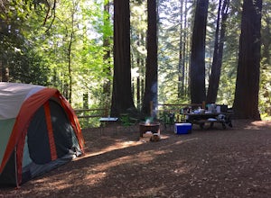
These West Marin campsites are often overlooked. It does get busy during the summer, but take the rest of the year to explore this state park. The main campground boasts more than 50 campsites with restrooms, hot pay showers, and piped drinking water. A few spaces can accommodate trailers, but t...
Read more
-
Lagunitas, California
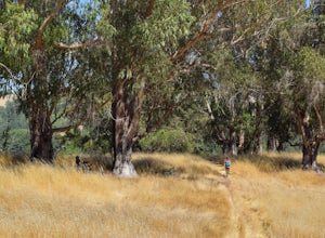
Nestled in the Samuel P. Taylor State Park this ten miler was a perfect escape from the chaos of the city. Hikers are able to pay a $10.00 park entry fee that includes plenty of parking spaces and restrooms before you hit the trail.
The hike starts along the Cross Marin Trail, a path popular to ...
Read more
-
San Francisco, California
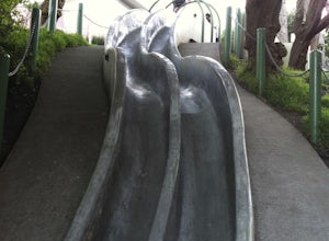
Tucked away in a small neighborhood park in Eureka Valley is a set of really fun, slippery, and surprisingly steep concrete slides. They were originally designed by a 14 year old kid over 30 years ago, and we all owe him a big hat tip. People use a variety of sliding materials (saucers, food tray...
Read more
-
San Francisco, California
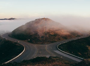
Most locals have heard of Twin Peaks, so if you hop in an Uber or Taxi you should be just fine. If not or you are driving yourself, head for Twin Peaks Boulevard, then just follow it to the top. Voila!When you're there, be sure to catch a sunset, as it is absolutely breath-taking, If you are luck...
Read more
-
San Francisco, California
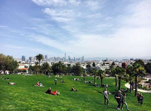
If the sun is shining, and you’re in the mood for playing around with friends in one of SF’s many amazing parks, Dolores should be at the top of your list. With amazing views of downtown, huge tiered lawn areas, tennis courts, basketball courts, a brand new playground, and easy access to some of ...
Read more
-
Novato, California
Schwindt, Indian Valley, and Waterfall Trail Loop is a loop trail that takes you by a waterfall located near Novato, California.
Read more
-
San Francisco, California
4.5
1.03 mi
/ 299 ft gain
Mount Davidson Park is located in the southwestern part of the city nestled between Diamond Heights and Portola Dr. The climb isn't too difficult, but to reach the top of the 928ft summit, you should wear close-toed shoes and be ready for some loose gravel or mud if it's been raining. The hike is...
Read more
-
San Francisco, California
5.0
1.76 mi
/ 394 ft gain
Glen Canyon Park Trail is a loop most commonly used for running or hiking in the southwestern side of San Francisco, California. Parking for the loop is street parking, so be sure to take any valuables out of the car with you.
Note: There are restrooms available at the Glen Canyon Recreation Ce...
Read more
-
San Francisco, California
Want to get out of the climbing gym, and do some bouldering in the city? Head to Glen Canyon park! After you park the car, take a short hike on a shade-covered path to the boulders. This climbing spot has history dating back to the 1930s when people first started scaling these boulders. This is a...
Read more
-
San Francisco, California
4.7
1.81 mi
/ 253 ft gain
Fort Funston is an SF gem I discovered when looking for a dog friendly hike near the city. Located west of Lake Merced, you'll find a gorgeous Northern California beach oasis where you and your dog can run wild and free :). Parking is located at the top of the park where you'll descend a steep se...
Read more
-
San Francisco, California
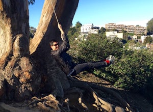
Billy Goat Hill Park is located in the Glen Park neighborhood of San Francisco. The park has street parking at the top of the park on Beacon Street or at the base of the park on Ladley Street. Getting to the swing is only a short walk up or down the stairs that run through the middle of the park....
Read more
-
San Francisco, California
4.7
4.53 mi
/ 180 ft gain
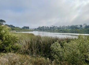
Lake Merced Loop is a loop trail in the southwestern part of San Francisco. This trail is used for running and walking. You'll see plenty of people getting exercise or taking their dog for a stroll. There are also benches and tables around the loop.
The lake itself is fresh water and is used for...
Read more
-
San Francisco, California
4.7
0.95 mi
/ 128 ft gain
Bernal Heights Park is an excellent week night adventure for those who need an escape from the city. Sit atop this small, grassy peak in peace and look out over the San Francisco skyline.
Park on the street bordering the park and follow a pathway that leads up to the top. You will be instantly g...
Read more
-
Richmond, California
Point Pinole Regional Shoreline is a 2,315-acre parkland that juts out into the San Pablo Bay. Only a brief car ride from San Francisco, this is a great spot for a Sunday stroll, picnic or simply to find a quiet space.There are several short trails to choose from that wind through eucalyptus grov...
Read more

