Midpines, California
Looking for the best backpacking in Midpines? We've got you covered with the top trails, trips, hiking, backpacking, camping and more around Midpines. The detailed guides, photos, and reviews are all submitted by the Outbound community.
Top Backpacking Spots in and near Midpines
-
Mariposa County, California
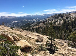
Hike to Tuolumne Peak Plateau
11.7 mi / 1800 ft gainThe most direct route begins at Murphy Creek trailhead, on the north side of Tioga Road near Tenaya Lake. Walk north on Murphy Creek trail for 2.5 miles with minimal elevation gain. Polly Dome Lakes are a great side trip via the social trail on the right side of the trail before the first junctio...Read more -
Mariposa County, California
John Muir Trail: Camping at Lower Cathedral Lake
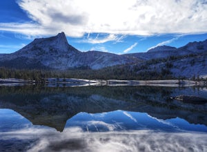
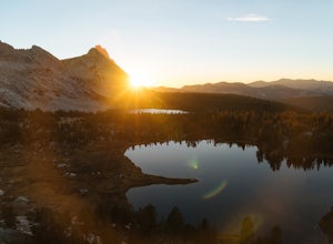
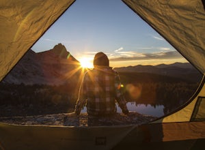
5.0Make the .75 miles detour off of the John Muir Trail to reach this spot and you won't regret it. Lower Cathedral Lake is typically less populated than nearby Upper Lake and has some of the mot beautiful scenery on the JMT. Sunrise and sunset with the reflection of Cathedral Peak on the glassy wat...Read more -
Cathedral Lakes Trailhead
Tuolumne Meadows to Yosemite Valley
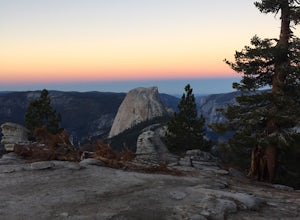
5.030.82 mi / 6109 ft gainYosemite is an iconic park, and if you are looking for isolation with spectacular views of the backcountry this trip is for you. The trail itself is approximately 33 miles and can be done in 3-4 days, but I recommend a 6 day hike to enjoy the scenery and to have the opportunity to soak in each lo...Read more -
Wawona, California
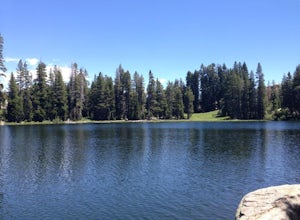
Cathedral Lakes
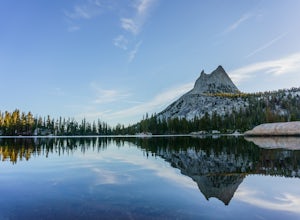
4.89.04 mi / 1100 ft gainStarting at the Cathedral Lakes Trailhead near the Tuolumne Meadows parking lot (if parking is full at the TH), this trail wanders through the classic High Sierra forest with large white granite boulders and pine trees. After approximately 4 miles of quiet solitude in the forest, you will reach ...Read more -
Tuolumne County, California
Tulomne Meadows to Donohue Pass via JMT
5.027.56 mi / 2953 ft gainDonohue Pass lies on the border of Yosemite National Park and the Ansel Adams Wilderness. Both the John Muir Trail (JMT) and the Pacific Crest Trail (PCT) route through this pass at 11,056 ft. A challenging but beautiful hike that starts from Tuolumne Meadows and follows the JMT for 12.5 miles t...Read more -
Tuolumne County, California
Backpack to Boothe Lake
5.016.6 mi / 1400 ft gainStarting at the Tuolomne Meadows Visitor Center you will head south to jump on the John Muir Trail, move east for 2.8 miles on the JMT until the trail intersects with the Vogelsang High Sierra trailhead, you head south when you reach this trail. Once you hit the Vogelsang trail you are 5.5 miles ...Read more -
37.872112,-119.370472
Hike to Waterwheel Falls
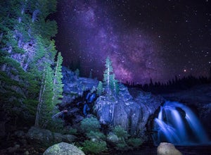
17.32 miWaterwheel Falls may be the most unique waterfall in Yosemite. During high waterflow an extraordinary phenomenon appears as the raging water hits a series of ledges creating a plume, this coupled with strong gust blowing upward create cyclical "waterwheel" effect hence the name. On a good day th...Read more -
Tuolumne County, California
Backpack to Nelson Lake
17 mi / 1000 ft gainHead to any Yosemite wilderness station for a map, bear canister, and permit for Nelson Lake. The trail itself starts in the Tuolumne Campground at Elizabeth Lake trailhead. Follow the trail 2.2 miles up to Elizabeth Lake and remember the lake itself is in a no-camping zone, so you must continue ...Read more -
YOSEMITE NATIONAL PARK, California
Fletcher Lake and Vogelsang Peak
19.03 mi / 2887 ft gainBefore you head out for the trip, you’ll need to get a wilderness permit. You can get one online from the Yosemite website or pick one up at the Tuolumne Meadows Wilderness Center or from the Wilderness Center in Yosemite Valley. Go to Yosemite and take Highway 120 up to Tuolumne Meadows. You ca...Read more -
YOSEMITE NATIONAL PARK, California
Young Lakes
4.714.14 mi / 1700 ft gainThe Young Lakes trail starts from the Lembert Dome parking area and then winds up around 6 miles into the high country past alpine meadows and stunning views of the surrounding mountains. Lower and Middle Young Lakes are beautiful, but you're going to want to push on to Upper Young Lake, where y...Read more -
YOSEMITE NATIONAL PARK, California
Mt. Conness
5.019.03 mi / 5400 ft gainThis trip is best done as a 3 day, 2 night backpacking trip making camp at Young Lakes, however it is possible to do it in a single day long haul. Start at the Lembert Dome Parking Lot and take the trail via the Dog Lake route towards Young Lakes. It's about 7 miles to the upper of the three You...Read more -
37.876736,-119.346085
Glen Aulin
4.812.19 mi / 600 ft gainStart your hike to this waterfall oasis in the heart of the sierra at the parking lot for the Tuolumne Meadows Visitor Center. The Glen Aulin High Sierra Camp sits along the beautifully winding Tuolumne River. White Cascade an 80ft waterfall sits at the edge of camp and provides an excellent swim...Read more -
Pinecrest, California
Backpack to Chain Lakes
4.4 mi / 864 ft gainThis trip begins at ~7500 feet at the Box Springs Trailhead This trail is at the end of Forest Route 3N20Y. The trail, which is not regularly maintained and may at times be hard to follow, initially descends slightly to 7300', then stays mostly flat before rising just before the lakes. You will p...Read more -
Madera County, California
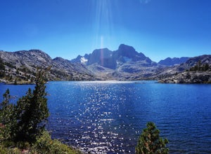
John Muir Trail: Camping at Thousand Island Lake
5.0This is one of the most recogizable lakes on the John Muir Trail and is known for being one of Ansel Adams' favorite places to photograph. Banner and Ritter Peaks tower over the tree covered islands and make for incredible scenery. This is a good spot to spend the day eating lunch and swimming ou...Read more -
Tuolumne County, California
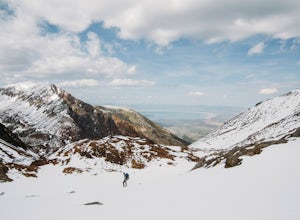
Lyell Loop
35.88 mi / 5541 ft gainStart the hike at the Mono pass trail. You'll eventually take the fork towards Parker Pass a couple miles in. We tackled the trail in late spring, and it quickly became clear that there was still enough snow to make our lives difficult. As we climbed out of the Parker drainage, the trail essenti...Read more -
Tuolumne County, California
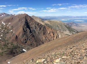
Mono Pass to Silver Lake Trailhead via Koip Peak Pass
20.25 mi / 3606 ft gainThis trip begins in Yosemite National Park and can be completed as an out-and-back or by hiking one-way to the Ansel Adams Wilderness and exiting at Silver Lake on the east side of the mountains. Start at the Mono/Parker Pass trailhead, a few miles past Tuolumne Meadows. Don't forget to make a pe...Read more

