Mariposa County, California
Looking for the best photography in Mariposa County? We've got you covered with the top trails, trips, hiking, backpacking, camping and more around Mariposa County. The detailed guides, photos, and reviews are all submitted by the Outbound community.
Top Photography Spots in and near Mariposa County
-
Tuolumne County, California
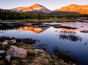
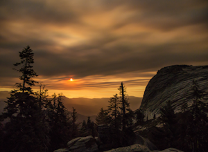
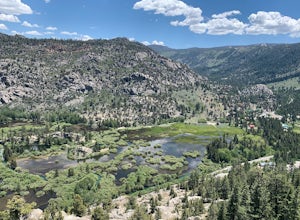
Photograph Dana Fork
Yosemite is filled with some amazing views but rarely do you get to experience these views by yourself. This hidden treasure is located off of Tioga Pass, is near some of Yosemite’s most popular hikes, and offers an outstanding sunrise and sunset views without the crowds. Located 2.5 miles Sout...Read more -
Tuolumne County, California
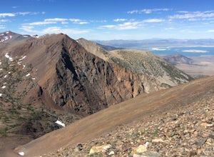
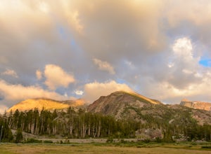
Mono Pass to Silver Lake Trailhead via Koip Peak Pass
20.25 mi / 3606 ft gainThis trip begins in Yosemite National Park and can be completed as an out-and-back or by hiking one-way to the Ansel Adams Wilderness and exiting at Silver Lake on the east side of the mountains. Start at the Mono/Parker Pass trailhead, a few miles past Tuolumne Meadows. Don't forget to make a pe...Read more -
Twain Harte-Tuolumne City, California
Mount Dana
5.04.89 mi / 3120 ft gainThere's something special about the landscape that Yosemite National Park offers, and the scenery around Mount Dana is no different. The trail begins at the Tioga Gate entrance to Yosemite with the trailhead at the north end of the small parking lot south of the gate. It winds through the ponds,...Read more -
Groveland, California
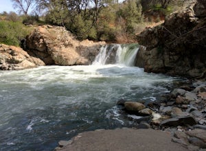
Rainbow Pool
4.5Finding Rainbow Pool is a little tricky, since it is off the side of a highway, but when you find it there is parking and bathrooms. There is a easy walkway to get down to the pool itself, and trails to climb to the top to slide or jump off the rocks. Many people tend to fish up top underneath th...Read more -
Bass Lake, California
Climb and Camp at Shuteye Ridge
5.0The Journey to your final destination can get a little tricky once you get on the dirt roads. From the Bay Area it will take you about 3 hours to get into Oakhurst, then another hour to get to the Wilderness Area simply because of the windy and not maintained roads. On that note I would suggest t...Read more -
Lee Vining, California
Junction Campground, Mono County
Junction campground is by far one of my favorite campsites when I am visiting the High Sierra and Tuolumne Meadows. The only downside is, you can only camp certain months; usually from June through October when highway 120 is open. The Junction campground is far away from the crowds of Yosemite...Read more -
Lee Vining, California
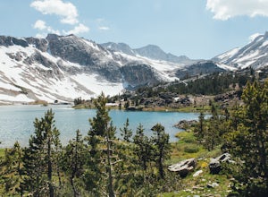
20 Lakes Basin Loop
5.07.81 mi / 915 ft gainThis trail is overall very easy to hike, but the 9.1mi distance at a 10,000ft altitude is what makes it a bit of a doozy for people who aren't frequent hikers. That said, if you are a relatively in-shape individual, you should have no problem with this trail. Remember to take frequent water bre...Read more -
Lee Vining, California
Climb North Peak via the NW Ridge
DirectionsAlthough North Peak lies right on the border of Yosemite, the hike starts just outside the park at the Saddle Bag Lake trail-head. There are also some campsites here if you wish to spend the night, but I think they are usually in high demand and hard to come by. To get to Saddlebag Lak...Read more -
Mono County, California
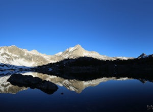
Gem Lake via Rush Creek
5.06.91 mi / 2313 ft gainThis hike starts next to Silver Lake in the June Lake Loop, located just north of Mammoth Lakes, CA off HWY 395. There is a parking lot near the RV park as well as street parking across the road from the trailhead. Once you head out on the hike, you'll start gaining elevation as you hike up tow...Read more -
June Lake, California
Parker Lake Trail
5.03.55 mi / 584 ft gainParker Lake is tucked beneath the giant mountains of Mount Wood, Mount Lewis, and Parker Peak. I hiked the Parker Lake trail during peak foliage season and I was blown away by the amazing fall colors. The trail starts off with a steady and rocky climb. After you pass the elevation gain, the trail...Read more -
Madera County, California
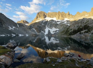
Backpack the Shadows of the Minarets Loop
5.016 miAnsel Adams Wilderness is located in Mammoth Lakes, California. The trail to Lake Ediza is frequently traveled and is usually completed as an out-and-back day hike. In the summer, from 7am-7pm the road to the trail head is inaccessible to cars. To reach the trailhead you must take the shuttle fro...Read more -
Mammoth Lakes, California
Agnew Meadows to Tuolumne Meadows
5.030.27 mi / 4757 ft gainUnlike most through hikes that require two cars or hitchhiking, you can accomplish this with only one car by using a YART. Another benefit is that by entering in Mammoth, it is usually much easier to get permits as opposed to starting in Yosemite where permits can be harder to get. Then once yo...Read more -
Madera County, California
Thousand Island Lake via Agnew Meadows
5.019.6 mi / 3642 ft gainStart from Agnew Meadows about 7 miles away. You can take the High Trail out as part of the River Trail with a long detour passing by several other scenic lakes, including Shadow Lake, Garnet Lake, and Ruby Lake. You will arrive at Thousand Island Lake a few hours after lunch, just in time to set...Read more -
Madera County, California
Ediza Lake via Agnew Meadows
4.013.54 mi / 1804 ft gainStart at the Agnew Meadows Trailhead. You will need to arrive before 7:30AM or take the Shuttle from Mammoth Mountain. Start out by heading north on the John Muir Trail. You will pass Shadow Lake; walk around the south side of the lake for mountain views. Then, follow the trail up Shadow Creek u...Read more -
Madera County, California
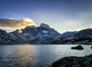
Ansel Adams' Garnet Lake
5.014.46 mi / 2717 ft gainGarnet Lake is one of the premier stops along the Pacific Crest Trail. However, even if you don't have time for an entire thru-hike (like most of us), this beautiful lake is still easily accessible as an overnight trip! While there are many possible routes for reaching Garnet Lake, the Agnew Me...Read more -
Madera County, California
Cecile Lake via Agnew Meadows
16.11 mi / 2667 ft gainLocated in the heart of the Ansel Adams Wilderness, Cecile Lake can be reached from a variety of trailheads. I chose to start out in Agnew Meadows. From here, the trail criss-crosses through a serene lowland environment with several crystal clear streams. After passing Olaine Lake, veer left an...Read more

