Madera, California
Looking for the best photography in Madera? We've got you covered with the top trails, trips, hiking, backpacking, camping and more around Madera. The detailed guides, photos, and reviews are all submitted by the Outbound community.
Top Photography Spots in and near Madera
-
Merced, California
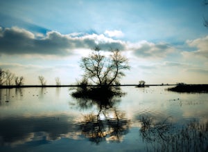
Photograph the Merced National Wildlife Refuge
5.0Merced National Wildlife Refuge is one of the best places to go and take photos of birds as the refuge plays host to the largest wintering populations of Lesser Sandhill Cranes and Snow/ Ross geese along the Pacific Flyway. Each autumn more than 20,000 cranes and 60,000 arctic-nesting geese termi...Read more -
Oakhurst, California
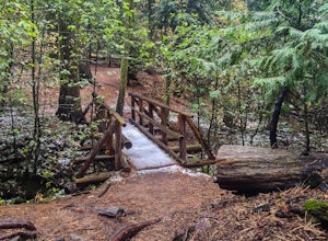
Hike the Shadow of the Giants Trail
4.01.1 mi / 85 ft gainThe Shadow of the Giants National Recreation trail is an amazing 1.1 mile self-guided hike through the heart of Nelder Grove. Take Hwy 41 north from Fresno; continue thru Oakhurst to Sky Ranch Road (6S10 or Forest Road 10) travel approx. 5 miles to Nelder Grove, when you reach the camp area take ...Read more -
Oakhurst, California
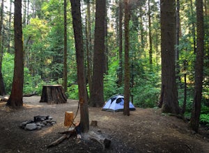
Camp at Nelder Grove Campground in Sierra National Forest
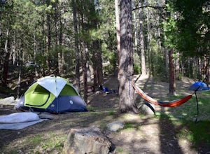
0 mi / 0 ft gainSites are located along Willow Creek with plenty of shape. Right out of the campground you can hike nearby Bull Buck Trail and discover the giant sequoia trees. This is a first-come first-serve campground so arrive early.Directions: Take Hwy 41 north from Fresno; continue thru Oakhurst to Sky Ran...Read more -
Bass Lake, California
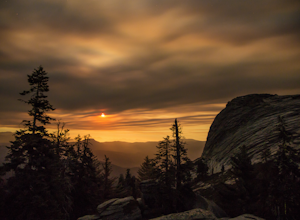
Climb and Camp at Shuteye Ridge
5.0The Journey to your final destination can get a little tricky once you get on the dirt roads. From the Bay Area it will take you about 3 hours to get into Oakhurst, then another hour to get to the Wilderness Area simply because of the windy and not maintained roads. On that note I would suggest t...Read more -
Mariposa County, California
Camp at Wawona in Yosemite National Park
Wawona offers over 90 campsites in 3 loops, including 1 group site, 2 horse sites, and RV/ camper access.Every loop has at least 1 bathroom with flush toilets, but keep in mind that there are no showers at this campground.Pets are allowed, but must be kept on leash at all times.Each campground co...Read more -
Yosemite National Park, California
Backpack to Crescent Lake
20 mi / 4100 ft gainCrescent Lake is another beautiful spot a long the Beuna Vista loop. Starting at the Chilnualna Trailhead in Wawona, you start your journey climbing about 4.6 miles and 2,300 feet to the top of Chilnualna Falls (always a good place to rest). Beyond the falls, continue a long the trail and always ...Read more -
Yosemite National Park, California
Buena Vista Lake via Chilnualna Falls Trailhead
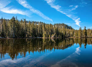
24.64 mi / 5453 ft gainHiking and camping at Buena Vista Lake is a beautiful way to see the south side of Yosemite… the name says it all. With beautiful 360 degree views from Buena Vista Peak you get to look at the backside of Half Dome, up to Clouds Rest and all the domes and peaks in-between. You can reach the trail...Read more -
Yosemite National Park, California
Hike to the Top of Chilnualna Falls
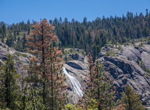
4.39.2 mi / 2300 ft gainMany visitors to Yosemite head straight to the valley and don't often explore the other areas of the park. So if you are interested in staying away from the massive crowds and getting to enjoy the beauty of the park a little more quietly, the Wawona is a great option for a getaway. The Chilnualna...Read more -
Yosemite National Park, California
Backpack to Johnson Lake
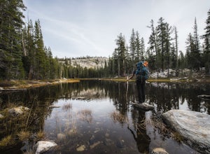
24 mi / 4500 ft gainYour trek begins at the Chilnualna Falls trailhead in Wawona near the South Gate in Yosemite. The first suggestion I have is to check the weather in the area to make sure you won't be slowed down by rain or snow. It's about 12 miles from the trailhead to the lake and if you are a swift hiker and ...Read more -
Shaver Lake, California
Balsam Forebay
4.01.05 mi / 62 ft gainAccess to the forebay starts at the trail head from the parking lot 6,700 ft up, also from the parking lot there is access to two different sets of boulder patches separate from the ones encountered along the hike in. Hike Start the 1 mile out and back hike from the parking lot following the t...Read more -
Mariposa County, California
Hike to Alder Creek Falls
10 mi / 1000 ft gainThe trail leads from the parking area across the Mosquito Creek road and heads uphill north through an open pine forest with manzanita growing on dry slopes. The trail provides access to Alder Creek Falls a hidden gem within Yosemite's Wawona wilderness. I did the trail towards the end of Februar...Read more

