Los Angeles County, California
Looking for the best hiking in Los Angeles County? We've got you covered with the top trails, trips, hiking, backpacking, camping and more around Los Angeles County. The detailed guides, photos, and reviews are all submitted by the Outbound community.
Top Hiking Spots in and near Los Angeles County
-
Avalon, California
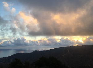
Camp at Hermit Gulch on Catalina Island
3.9 mi / 1206 ft gainThe Avalon port in Catalina is most easily accessed through the Catalina Express leaving from Dana Point, Newport Beach or Long Beach. The Hermit Gulch campsite is only a 20 min walk from the boat and is well run with restrooms, showers... etc. They also sell anything you might have forgotten for...Read more -
Avalon, California
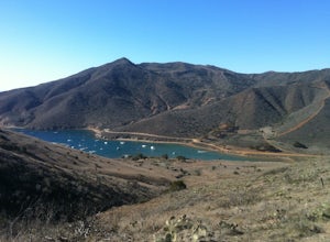
Trans-Catalina Trail
5.037.67 mi / 8189 ft gainThis adventure is a great way to see the entire island of Santa Catalina. Catalina Island is situated less than 30 miles off the coast of Southern California, and can be reached by ferry from Dana Point, San Pedro, or Long Beach. Catalina Express in the company that operates the ferry. This adve...Read more -
Malibu, California
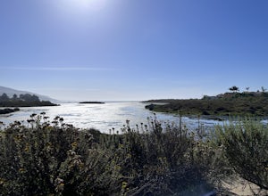
The Malibu Lagoon State Beach
5.02.11 mi / 98 ft gainThe Malibu Lagoon State Beach is a loop trail that takes you past scenic surroundings located near Malibu, California.Read more -
Calabasas, California
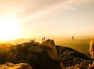
Hike and Rock Climb at Saddle Peak
5.0This is one of my favorite hikes in the Los Angeles area. Super easy, yet beautiful and a perfect place to get away from the city.Parking for the trailhead is where the three roads intersect. The parking area is a long strip of dirt, there will most likely be cars there when you arrive already th...Read more -
Lake Forest, California
Hike Borrego Canyon to Red Rock Canyon Trails
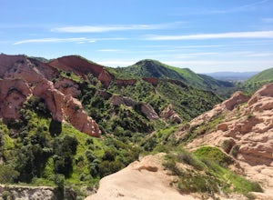
4.64.2 mi / 500 ft gainJust south east of the city of Irvine, on the southern end of Orange County, is the scenic Whiting Ranch Wilderness Park. Don't let the newly developed shopping centers restaurants fool you, because just beyond the parking lot ($3 Daily Use Fee) of the Borrego Canyon Trailhead, you will find your...Read more -
Chino Hills, California
Adobe Loop
3.01.92 mi / 312 ft gainThe best place to park for this hike is at Hunter's Hill park. From there, the trailhead is located on Natalie Road just South of the park. There is a large sign marking the start of the trail, but it does not give a name for either the trail head or the trail itself. For reference, it is the But...Read more -
Laguna Niguel, California
Dripping Cave in the Aliso & Wood Canyons Wilderness
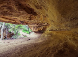
4.47.68 mi / 889 ft gainDripping Cave sits tucked away in a corner of Wood Canyon, part of the Aliso and Wood Canyons Wilderness Park, and the trail to the cave, while short, requires *at least* a 2.25 mile hike in from the nearest trailhead (West Ridge Trail to Mathis Canyon), though this is less than ideal as that rou...Read more -
Los Angeles County, California
Mt. Disappointment via Billy Riley Trail
3.5 mi / 1132 ft gainFrom the 210 Freeway in La Cañada, take California Highway 2 north 14 miles up into the San Gabriel Mountains. Make sure you have your National Forest Pass (sold at REI or Ranger Station) or your Interagency Pass because they have started checking parked vehicles. At the Red Box Picnic area, make...Read more -
Topanga, California
Red Rock Canyon to Calabasas Peak
4.04.53 mi / 1004 ft gainWhen you get to the parking lot be sure to pay the $5 parking fee. You will need to place this in the provided envelope and drop it in the iron ranger. Start the hike by following the fire road behind the gate. About a couple of yards in, you will see a trail on your left which leads to a ghoul...Read more -
Topanga, California
Top of Topanga Overlook
1 mi / 1613 ft gainThe Top of Topanga Overlook is where you can simply park your car, and sit in one of the benches to view the San Fernando Valley. But there is one hiking trail in that area which lets you get better vantage points, as well as a quick workout. Once you get to the overlook, park your car and safel...Read more -
Los Angeles County, California
Switzer Falls
3.43.66 mi / 728 ft gainJust off the Angeles Crest highway, you’ll find one of LA’s best waterfalls, Switzer Falls. There is a parking lot just next to the trailhead. If you go on the weekend and run into a crowd, there’s parking near the highway, adding a little distance to your trek. Once you’ve walked through the Sw...Read more -
Los Angeles County, California
Bear Canyon via Switzer Falls Trailhead
6.67 mi / 1273 ft gainParking: Parking is available at the Switzer Falls Picnic Area, or in the two overflow lots on the hill. You will need an Adventure Pass to leave your car parked here. Make sure to follow posted signs - there are some parking spots that do not allow overnight parking. Amenities: Bear Canyon has...Read more -
Laguna Niguel, California
Kick Back at Laguna Niguel Regional Park
This is an awesome tucked away little adventure that will have you occupied all day! With plenty of picnic tables you can be sure to have your own privacy tucked into a corner free from other people. Grab a lake side picnic table or even the numerous ones around the grass fields, they are all won...Read more -
Altadena, California
Gabrieleno Trail: Switzer Falls to Hahamonga Watershed
5.010.14 mi / 814 ft gainGabrieleno Trail: Switzer Falls to Hahamonga Watershed is a point-to-point trail that takes you by a waterfall located near La Canada Flintridge, California.Read more -
Los Angeles, California
Reseda Pond Path
1.00.3 mi / 0 ft gainReseda Pond Path is a loop trail that takes you by a lake located near Reseda, CaliforniaRead more -
Laguna Beach, California
Aliso Peak via the Valido Trail
5.01.14 mi / 325 ft gainThe Valido Trail trailhead can be found just off West street off the Pacific Coast Highway, just south of Aliso Beach. Park on West Street past the trailhead. The trail proceeds approximate .5 miles till it intersects with the Aliso Peak Trail. Go left .4 miles to the obvious summit and wooden p...Read more

