Lompoc, California
The best Trails and Outdoor Activities in Lompoc, California, offer a variety of scenic outdoor adventures. A must-visit is the La Purisima Mission State Historic Park, with its 25-mile network of trails. These trails feature rolling hills, oak woodlands, and historic landmarks. The difficulty varies from easy to moderate, making it suitable for all fitness levels. Another top attraction is the River Park Trail, a flat, paved path that winds along the Santa Ynez River, showcasing riparian habitats and bird-watching opportunities. For rock formations, head to the Jalama Beach County Park, where the rugged coastline offers stunning views. Whether you're into hiking, bird-watching, or simply enjoying the outdoors, Lompoc has something for you.
Top Spots in and near Lompoc
-
Oceano, California
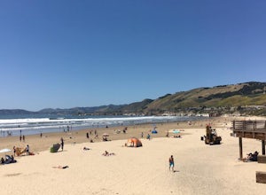
Camp at Pismo State Beach
4.7Hiking along nature trails, swimming, and surf fishing are all possible here, including wheelchair accessible fishing at Ocean Lagoon. Facilities consist of fire rings, restrooms, and showers. Restaurants are not far from the campground, as well. Make your reservation here.Read more -
Pismo Beach, California
Surf Shell Beach
5.0Shell Beach is north of downtown Pismo Beach. This is a fun wave that works best during the fall and winter months. It's a beach break with both lefts and rights. The wave is rippable and is less popular than waves at the pier or at Morro Bay. However, the wave is much less consistent than the ot...Read more -
Santa Barbara, California
Hike to Knapp's Castle
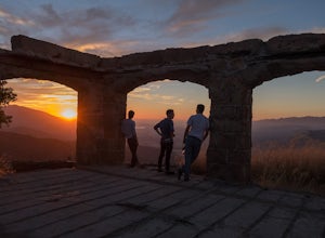
4.20.8 miOne of the many hidden gems near Santa Barbara, Knapp's Castle is an abandoned home built in 1916 by George Knapp. Finding the trailhead can be difficult because it's not clearly marked and the road it's starts from is long, winding and narrow. Coming from the 154, turn right on East Camino Cielo...Read more -
San Luis Obispo, California
Catch the Sunset at the Avila Sea Caves
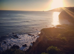
4.0When I attended Cal Poly San Luis Obispo, I would come out to this place to watch the sunset. It was my favorite spot to sit on a rock and take in the beautiful scenery as the sun went down. You don't really have to hike to get a nice view, you can park the car and walk out to the rock cliffs and...Read more -
San Luis Obispo, California
Ontario Ridge to Shell Beach Bluff Trail Loop
4.02.79 mi / 679 ft gainOntario Ridge to Shell Beach Bluff Trail Loop is a loop trail where you may see beautiful wildflowers located near Avila Beach, California.Read more -
San Luis Obispo, California
Bike or Run the Bob Jones Trail
5 miThe Bob Jones Trail provides a variety of activities -- running, walking, biking, skateboarding/rollerblading, and some exploring by the creek. You can choose where you would like to start, across the street from the Central Coast Aquarium off Avila Beach Dr. or from the parking lot off Ontario R...Read more -
San Luis Obispo, California
Point San Luis Lighthouse via Pecho Coast Trail
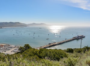
3.4 mi / 879 ft gainThis guided roundtrip hike to Point San Luis Lighthouse has one of the best views of the central coast coastline. You will get a chance to see the Avila Beach, Avila Pier, Call Poly Pier, and Harford Pier from a high point. The trail crosses through a land owned by PG&E; therefore, the hike...Read more -
Santa Barbara, California
Red Rock Pools
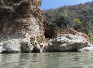
0.89 mi / 10 ft gainRed Rock Pools is a relatively popular swimming hole located along the Santa Ynez River about an hour outside of Santa Barbara, California. The trail to the swimming hole is relatively short, but more pools can be found if you follow the Gibraltar Trail down to the Gibraltar Dam (an additional ...Read more -
Santa Barbara, California
Paraglide at Elings Park
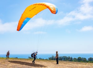
Santa Barbara is known for its incredible terrain. Paragliding at Elings Park is an amazing way to take in the gorgeous local scenery from an entirely new perspective. You’ll get your blood and adrenaline pumping as you challenge yourself to try something new under the watchful, expert eyes of th...Read more -
Santa Barbara, California
La Cumbre Peak via Tunnel Trail
9.96 mi / 3310 ft gainTunnel Trail is a great way to get to the top of La Cumbre Peak. You get to the trailhead by taking Tunnel Road until it dead ends at a large water tower, there you can park your car and start on foot. You take Spyglass Ridge Road up which is a paved fire road until it becomes dirt when you get o...Read more -
Santa Barbara, California
Inspiration Point
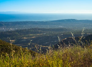
4.03.82 mi / 1109 ft gainHike up the 3.5 mile trail to an unbeatable vista that will leave you smiling! This hike has a steady uphill climb from the trailhead off of Tunnel Rd into Los Padres National Forest. Keep in mind this trail can get pretty crowded on weekends, so you're best to be at the trail early in the mornin...Read more -
Santa Margarita, California
Rinconada Mineral Mines
1.32 mi / 472 ft gainMy friends and I recently visited this abandoned mercury mine. The site was cleaned-up by the EPA many years ago, but much of the old equipment remains. Up the hill from the equipment are several deep cuts in the earth and a humongous hole in the ground. The sediment at edges of this hole are VER...Read more -
San Luis Obispo, California
Bowden Ranch Trail
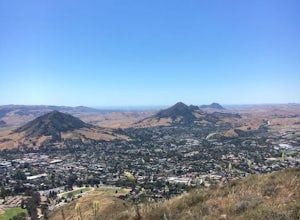
4.03.34 mi / 1286 ft gainThis short but intense hike on the north east side of San Luis Obispo, offers an amazing view of the town. This hike is roughly 3 miles with 1300 ft of elevation gain. It provides a great cardio workout! It is also a very popular spot to hike but is less crowded than Bishop Peak. It's a dog frie...Read more -
Montecito, California
Cold Spring Trail Loop
5.02.67 mi / 883 ft gainCold Spring Trail Loop is a loop trail that takes you by a river located near Santa Barbara, California.Read more -
Montecito, California
Tangerine Falls
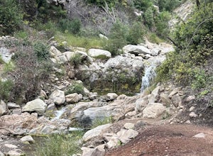
4.51.15 mi / 886 ft gainThis waterfall can be fairly dry during the year, so keep your eyes out for a recent rainstorm to get things going. When you start the hike on East Folk Trail, at 0.25 miles, cross over the creek and join West Fork Trail. A little over another half mile, West Fork starts to head uphill, but you c...Read more -
Montecito, California
West Fork of Cold Spring Trail
3.45 mi / 1135 ft gainIf you love the mountains above Santa Barbara but hate the crowds, stick to the canyon trails on the east side. The trails running up Cold Spring canyon offer a variety of experiences without all the noise. To find the West Fork of Cold Spring Trail, take the Olive Mill Rd. exit from the 101 fre...Read more

