Lancaster, California
The best trails and outdoor activities in Lancaster, California, offer a variety of scenic landscapes and challenges for hikers of all skill levels. The Pacific Crest Trail, a must-visit, winds through the Antelope Valley, showcasing stunning desert views and unique rock formations. The trail is moderately difficult, making it suitable for seasoned hikers. Prime Desert Woodland Preserve offers easy trails, perfect for family outings, and a chance to spot local wildlife. For water-based activities, Apollo Community Regional Park features a beautiful lake for fishing and boating. Near Lancaster, the Vasquez Rocks Natural Area Park is a top destination for rock climbing and horseback riding. These outdoor adventures in and around Lancaster offer something for everyone.
Top Spots in and near Lancaster
-
Los Angeles, California
Cahuenga Peak Loop Trail
3.88 mi / 1237 ft gainThe Cahuenga Peak Loop is perfect for trail runners and hikers. The trailhead is in Hollywood Hills - park off to the side on a street. This trail features beautiful wildflowers in the spring. Dogs are allowed on the trail if kept on leash. The trail can be dusty and dirty, so watch your step. Ke...Read more -
Los Angeles, California
Cahuenga Peak via Burbank Peak Trail
2.23 mi / 719 ft gainCahuenga Peak via Burbank Peak Trail is an out-and-back trail that takes you past scenic surroundings located near Los Angeles, California.Read more -
Los Angeles, California
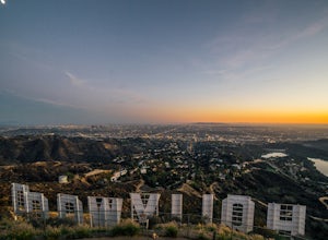
Hollywood Sign via Brush Canyon Trail
4.65.04 mi / 1155 ft gainGetting to the parking lot near the trailhead and finding an open space can seem like the most daunting part of this whole excursion. There are free parking lots along the road to the trailhead, so keep an eye out. There are also several ways to get to the trailhead from other parking areas; I ad...Read more -
Los Angeles, California
Aileen Getty Ridge Trail
5.03.55 mi / 1194 ft gainThe Aileen Getty Ridge Trail is a singletrack trail that runs between Mt. Lee and Burbank Peak (the location of the Wisdom Tree). Though there are many options to access this trail, the most direct route is from the west via the Wonder View Trailhead. Start by parking on Lake Hollywood Drive near...Read more -
Los Angeles, California
Bronson Bat Caves
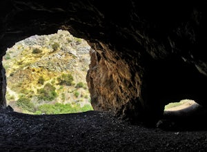
3.30.61 mi / 66 ft gainWho doesn't enjoy a short hike to a scenic/remote location? I know I sure do! After hearing about this spot through word of mouth and the internet, and seemingly never having the time to check it out, I honestly have to say it was a worthwhile trip. This short 0.6 out and back hike/walk to the f...Read more -
Los Angeles, California
Mount Hollywood Trail
5.02.49 mi / 505 ft gainMount Hollywood Trail is a loop with scenic views of Griffith Park located in Los Angeles, California. There are multiple ways to reach the summit of Mount Hollywood, including via Mount Hollywood via Fern Canyon Trail (5-mile loop) starting near the merry-go-round. This route is one of the most ...Read more -
Los Angeles, California
Lake Hollywood Trail
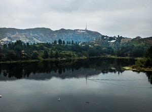
4.73.35 mi / 249 ft gainThe Lake Hollywood Trail features beautiful wildflowers in the spring and is wheelchair accessible. A majority of the trail is paved, but approximately .6 miles is on dirt. Some of the trail is shaded, but bring sun protection regardless - especially in the summer. Dogs are not allowed on this tr...Read more -
Los Angeles, California
Sepulveda Basin: Upstream Of Balboa
4.03.7 mi / 75 ft gainSepulveda Basin: Upstream Of Balboa is a loop trail that takes you by a river located near Encino, California.Read more -
Los Angeles, California
West Trail Loop
4.31.85 mi / 463 ft gainThe trail starts near Dell Picnic area, near the Trails Cafe. On this wide fire road, you can choose to run or hike, but don't expect to have the trail to yourself, especially if you're heading out on the weekend. With that said, you can time your run or hike around sunset and get amazing views b...Read more -
Los Angeles, California
City View and Walnut Forest Trails Loop
4.02.59 mi / 568 ft gainThe City View and Walnut Forest Trails in Ernest E. Debs Regional Park are just outside of downtown Los Angeles, and are perfect for all abilities. The trails are most commonly used by dog walkers, trail runners, mountain bikers and families. The top of the hike features a unique pond. Dogs are a...Read more -
Mount Baldy, California
Mt. San Antonio (Mt. Baldy) via the Ski Hut Trail
5.09.7 mi / 3990 ft gainMt. San Antonio, or Mt. Baldy as it is known locally, is one of the cans of the challenging "six-pack of peaks" in Southern California. For this one, start before the Manker campground and head up the fire road. This is known as the "Baldy Bowl or Ski-Hut Trail". You'll see some cabins on your l...Read more -
Los Angeles, California
Secret Stairs Astro Loop
2.34.21 mi / 600 ft gainI learned about these remnants of Los Angeles history, just a few months ago. When I found myself in L.A. this past month, I decided to find some of these stairs, and find out what they’re all about. Back in the 1920’s these stairs were created for pedestrians to have direct routes to the trans...Read more -
Mount Baldy, California
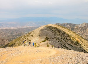
Summit Mt. Baldy
4.812.12 mi / 5958 ft gainLocated only an hour’s drive from Los Angeles is the top of highest mountain in LA County—at 10,064 feet. Bear Flat Trail (also called the Old Mt. Baldy Trail) offers some of the finest scenery and most rewarding views in the San Gabriel Mountains high country. With nearly 6000 ft of elevation g...Read more -
Los Angeles, California
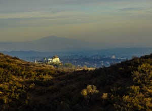
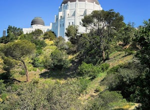
Ferndell to the West Observatory Loop Trail to Griffith Observatory
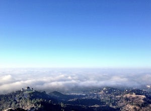
4.52.63 mi / 587 ft gainThe Ferndell to Griffith Observatory trail in Los Angeles, California is a moderate difficulty, 2.63-mile loop trail. The trail starts at Ferndell Nature Museum, a small museum with a garden and picnic area. The trail then ascends through a shaded canyon, with a small stream running alongside. ...Read more -
Los Angeles, California
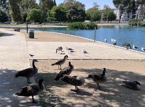
Reseda Pond Path
1.00.3 mi / 0 ft gainReseda Pond Path is a loop trail that takes you by a lake located near Reseda, CaliforniaRead more -
Mount Baldy, California
Sunset Peak via South Trailhead
4.07.16 mi / 1493 ft gainIn order to get to the Sunset Peak Trailhead, utilize Google Maps to take you to the location provided. There is very little parking (only a small pull off along Glendora Ridge Road), but this trail is rarely traveled, so there should be enough space regardless of the time you decide to hike! Jus...Read more

