Lakeshore, California
Looking for the best photography in Lakeshore? We've got you covered with the top trails, trips, hiking, backpacking, camping and more around Lakeshore. The detailed guides, photos, and reviews are all submitted by the Outbound community.
Top Photography Spots in and near Lakeshore
-
Benton, California
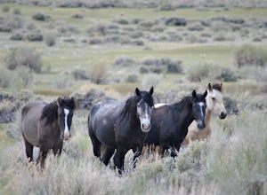
Photograph Wild Mustangs in Mono County
Since these are wild horses, tracking them can be difficult. However, they tend to play and graze in a certain field in Mono County, right outside of Mammoth Lakes and Yosemite! From CA-395 turn onto CA-120 towards Mono Lake. Take this road for 21 miles until you reach Dobie Meadows Road, a one l...Read more -
Lee Vining, California
Hike Panum Crater Trail
3.3 mi / 874 ft gainIf you are visiting Mono Lake, the Panum Crater Trail is not to be missed! From 395, take highway 120 east for about 2.5 miles. Look for a small wooden sign for Panum Crater and turn left onto a dirt road. If you reach the turn-off to the South Tufa Area, you have gone too far! After about a mile...Read more -
Mariposa County, California
Camp at Wawona in Yosemite National Park
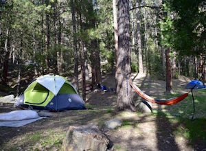
Wawona offers over 90 campsites in 3 loops, including 1 group site, 2 horse sites, and RV/ camper access.Every loop has at least 1 bathroom with flush toilets, but keep in mind that there are no showers at this campground.Pets are allowed, but must be kept on leash at all times.Each campground co...Read more -
Lee Vining, California
Mono Lake's South Tufa Loop
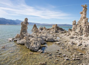
4.40.91 mi / 39 ft gainMono Lake is was formed at least 760,000 years ago, making it one of North America's oldest lake. Explore the coastline of this unique lake filled with unusual rock formations called tufas. Photograph the tufa towers with the majestic mountains in the background. The towers can make for some very...Read more -
Mariposa County, California
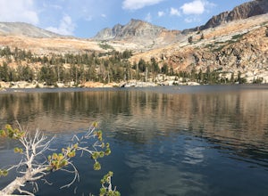
Backpack to Lower Ottoway Lake
32 mi / 2400 ft gainThe hike begins at Mono Meadows trailhead along Glacier Point Road, first descending 2.8 steep miles to Illilouette Creek. Above the Illilouette Junction, take in views of the Valley's granite domes before beginning the post-burn forested slog. The trail covers an additional 10 miles of relativel...Read more -
Lee Vining, California
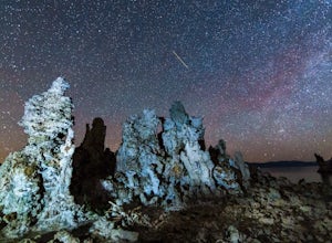
Explore the Mono Lake Tufas under the Milky Way
5.0This past spring, I got the urge to photograph the Milky Way over the other-worldly landscape of Mono Lake, a large, desert saline lake at the edge of the eastern Sierras in California. One of the the lake's defining features is it’s incredible tufa rock formations, a variety of limestone. The e...Read more -
Tuolumne County, California
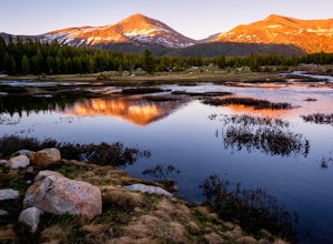
Photograph Dana Fork
Yosemite is filled with some amazing views but rarely do you get to experience these views by yourself. This hidden treasure is located off of Tioga Pass, is near some of Yosemite’s most popular hikes, and offers an outstanding sunrise and sunset views without the crowds. Located 2.5 miles Sout...Read more

