Lakeshore, California
Looking for the best backpacking in Lakeshore? We've got you covered with the top trails, trips, hiking, backpacking, camping and more around Lakeshore. The detailed guides, photos, and reviews are all submitted by the Outbound community.
Top Backpacking Spots in and near Lakeshore
-
Madera County, California
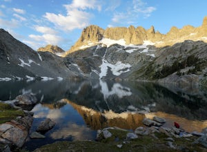
Ansel Adams' Garnet Lake
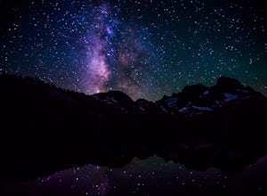
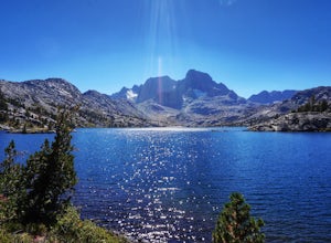
5.014.46 mi / 2717 ft gainGarnet Lake is one of the premier stops along the Pacific Crest Trail. However, even if you don't have time for an entire thru-hike (like most of us), this beautiful lake is still easily accessible as an overnight trip! While there are many possible routes for reaching Garnet Lake, the Agnew Me...Read more -
Madera County, California
Cecile Lake via Agnew Meadows
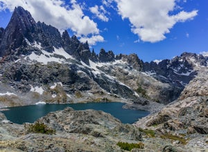
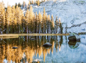
16.11 mi / 2667 ft gainLocated in the heart of the Ansel Adams Wilderness, Cecile Lake can be reached from a variety of trailheads. I chose to start out in Agnew Meadows. From here, the trail criss-crosses through a serene lowland environment with several crystal clear streams. After passing Olaine Lake, veer left an...Read more -
Madera County, California
Climb Mount Ritter
Mt Ritter is a long climb, but it is worth the effort. Start out by establishing camp at Ediza Lake prior to your ascent. The SE Glacier route (first ascent by John Muir) follows the path of least resistance up the SE side of Mt Ritter.The route first gains a broad bench below Ritter and Banner P...Read more -
Madera County, California
Backpack to Waugh Lake
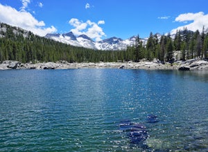
5.011 mi / 1000 ft gainThere are several trailheads you can start at to get to the lake, but we chose the River Trail in Agnew Meadows because it was the only trailhead that hadn't met the quota yet. You can check on permit's and trailheads here. If the River Trail is booked other great options are Shadow Creek, Fish C...Read more -
Madera County, California
Backpack the Shadows of the Minarets Loop
5.016 miAnsel Adams Wilderness is located in Mammoth Lakes, California. The trail to Lake Ediza is frequently traveled and is usually completed as an out-and-back day hike. In the summer, from 7am-7pm the road to the trail head is inaccessible to cars. To reach the trailhead you must take the shuttle fro...Read more -
Sierra, California
Rae Lakes Loop
5.039.08 mi / 7316 ft gainDay one: After checking in with the park ranger and getting your required permits you will start your hike along a 1.8 mile stretch along the south fork of the Kings River. At this point, people typically go clockwise toward Paradise Valley but you can also go counterclockwise along Bubbs Creek. ...Read more -
Madera County, California
John Muir Trail: Camping at Lake Ediza Junction
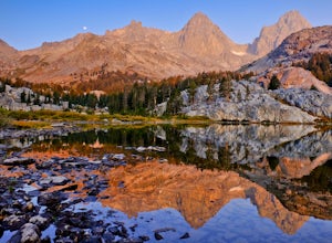
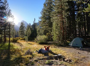
NOTE: there are some camping closures in this area. Read here for more details. The Lake Ediza Junction has several great spots to camp. Try to find a spot that will have long afternoon sun as some spots will fall under the shadow of the ridge to the west. There are some sunny campsites along the...Read more -
Tulare County, California
Backpack to Weaver Lake, CA
7 mi / 1075 ft gainThe hike to Weaver Lake begins at the Big Meadows trailhead in Sequoia National Forest (elevation: 7,633 ft.). There is roadside parking at the beginning of the trailhead and more parking available just inside the gate. At the trailhead, there is a vault toilet, trash receptacle, and map of the a...Read more -
Tulare County, California
Jennie Lake via Fox Meadows
4.510.71 mi / 1929 ft gainJennie Lake is a beautiful subalpine lake located in the Jennie Lakes Wilderness just outside of Sequoia National Park. There are no backpacking quota restrictions making this a perfect trip that requires little planning. Your journey starts at the Fox Meadows trailhead on paved Forest Service R...Read more -
Tulare County, California
Hike the Sugar Bowl Loop in Kings Canyon NP
4.56.5 mi / 1480 ft gainFirst and foremost, to get to this trailhead you need to drive down a 2-mile, one lane dirt road that is quite steep. It is highly recommended you do this in an AWD or 4WD vehicle, especially since the road can be muddy from snowmelt or after a recent rain. We have a 2WD car but used chains for e...Read more -
Madera County, California
Backpack to Lower Merced Pass Lake
4.023 mi / 880 ft gainLMPL (let's be honest, the full name is a mouthful) is situated just below the crest of Merced Pass, and can be accessed by hiking south from Yosemite Valley, or north from Chiquito Pass. This is a stunning and much less crowded spot to camp, or a great way to access some of the less climbed moun...Read more -
Madera County, California
John Muir Trail: Camping at Thousand Island Lake
5.0This is one of the most recogizable lakes on the John Muir Trail and is known for being one of Ansel Adams' favorite places to photograph. Banner and Ritter Peaks tower over the tree covered islands and make for incredible scenery. This is a good spot to spend the day eating lunch and swimming ou...Read more -
Big Pine, California
Backpack Atop Sawmill Pass
20 mi / 6700 ft gainAt 11,347 ft., Sawmill Pass lies on the Sierra Crest and enters Kings Canyon National Park in the Woods Creek area. Both the John Muir Trail (JMT) and the Pacific Crest Trail (PCT) can be accessed through this pass. The Sawmill Pass trail is a steep and arduous climb, gaining over 6700 feet of e...Read more -
Fresno County, California
John Muir Trail: Middle Rae Lake
You'll have to deal with some crowds at Rae Lakes but that is because this is an amazing setting to spend the night. If sharing this place with others is the worst of your worries then you're doing pretty well. Hikers flock here for the incredible swimming, views of iconic peaks like Fin Dome and...Read more -
Bass Lake, California
Camp at Greys Mountain Campground
/ 5293 ft gainFrom Greys Mountain Campground, Sierra National Forest is your oyster! Enjoy hiking, swimming, fishing, mountain biking, boating, paddle boarding, kayaking, canoeing, and more. Each site is equipped with a picnic table and a fire ring. The campground has vault toilets and (sometimes) potable wate...Read more -
Bishop, California
Climb White Mountain Peak
4.314 mi / 2000 ft gainNot surprisingly, White Mountain Peak is the apex of the White Mountains, which rise out of the desert floor just north of Death Valley. The White Mountains were aptly named as they are frequently covered in snow.The trailhead starts at 12,000ft and winds it's way over a few hills before the fina...Read more

