Lakeport, California
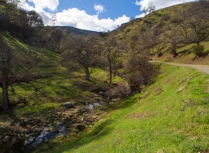
Lakeport, California is a must-visit destination for those seeking outdoor adventures. The city offers some of the top hiking trails for both beginners and seasoned hikers. One of the best trails is the Wright Peak Summit Trail, a moderately difficult hike that rewards you with panoramic views of Clear Lake and Mount Konocti. The trail is home to unique rock formations and diverse plant life. For water activities, Clear Lake State Park offers kayaking and fishing. The park is also home to Kelsey Creek, a popular spot for bird watching. For a scenic drive, head to the Lake County Wine Studio, where you can enjoy stunning views of the vineyards. Don't miss out on these outdoor activities and attractions in and near Lakeport for an unforgettable trip.
Top Spots in and near Lakeport
-
Guerneville, California
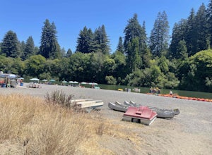
Johnson's Beach
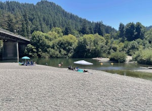
Johnson's Beach is a public beach located on the Russian River in Guerneville, California.Read more -
Forestville, California
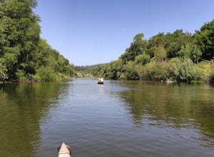
Canoe the Russian River via Forestville
5.0Starting at Burke's Canoe in Forestville, CA this is a 10-mile self-guided canoe trip down the Russian River. You can rent your canoe from Burke's and launch from their beach. Burke's will also pick you up 10 miles down-river and shuttle you back to their parking lot.This canoe trip features lo...Read more -
Jenner, California
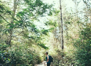
Hike the Central Trail
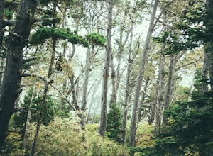
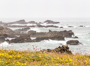
3.6 mi / 800 ft gainSalt Point State Park, about 90 miles north of San Francisco, features rugged, windswept coastline and dramatic forests of cypress, pine and redwoods. The Central Trail is a great way to experience much of the inland portion of the park including a unique highland Prairie where elk graze and are ...Read more -
Jenner, California
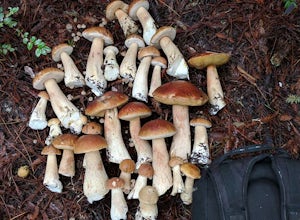
Bolete Mushroom Hunting
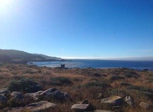
Salt Point State Park is a state park in Sonoma County, California, United States. The park covers 6,000 acres (2,400 ha) on the coast of Northern California, with 20 miles (32 km) of hiking trails and over 6 miles (9.7 km) of a rough rocky coast line including Salt Point which protrudes into the...Read more -
Jenner, California
Hike the North Trail to the Pygmy Forest
4 mi / 800 ft gainSalt Point State Park, about 90 miles north of San Francisco, features rugged, windswept coastline and dramatic forests of cypress, pine and redwoods. The North trail is a great way to experience much of the inland portion of the park including the unique Pygmy Forest, named for the stunted trees...Read more -
Napa, California
Hike To Zim Zim Falls
5.08 mi / 500 ft gainThis 8 mile (out and back) hike begins at the trail head off of Knoxville Road, just before mile marker 24. The first 3 miles are relatively flat, though you will cross the creek about 9 times. Right before you reach the waterfall, you will come to a fork in the trail marked by a pink boulder. St...Read more -
Jenner, California
Camp and Dive at Salt Point State Park
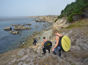
4.7Camping at Salt Point Sate Park is a dream. You have your choice of camping by the sea at Gerstle Cove campground, or tucked up into the forest at the Woodside campground…and you can’t go wrong with either choice.The rugged and beautiful coastline here is a popular destination for abalone diving ...Read more -
Jenner, California
Abalone Diving at Salt Point State Park
5.0Jenner is a great spot to head out in calm water with your abalone gear. The dives will be in depths of 10 to 15 ft. of water, with visibility usually in the 5-20 ft. range. Spend a little time doing your homework before entering the water and you'll be able to find easier entry areas.When you he...Read more -
Jenner, California
Hike the Salt Point Trail
3.73 mi / 100 ft gainThere are numerous points at which you can enter the trail from Highway 1, but on the north it begins as the Salt Point / Stump Beach Parking area and proceeds 1.2 miles to the Visitor Center (and south entrance) at the Gerstle Cove State Marine area, one of the first underwater state parks in Ca...Read more -
Jenner, California
Camp at Stillwater Cove
4.0It's a short walk down to the beach and there is a nice trail that follows along the creek. Campground features include potable water, restrooms with coin -operated showers, flush toilets, and electrical outlets. There is also a dump station. Please note: there are no RV hook-ups. Check out more...Read more -
Calistoga, California
Camp at Bothe-Napa Valley SP
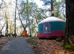
4.5Looking for a romantic getaway but you’d prefer to spend your nights around a campfire? This adventure is for you. This beautiful Napa Valley campground has it all – 10 miles of hiking trails, 1,900 acres to explore, and…new yurts! Yurts are basically cool circular tents that allow you enjoy the ...Read more -
Monte Rio, California
Monte Rio Community Beach
Monte Rio Community Beach is located in the Sonoma County town of Monte Rio. The beach nestles up to the Russian River offering a great chance for families to kick back and relax by the water or bring your kayak or stand-up paddle board for fun on the water. Dog-Friendly: Monte Rio Community Be...Read more -
Cazadero, California
Bouldering at Fort Ross
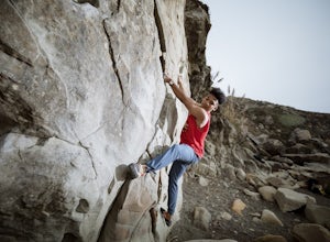
3.0The main boulder is right there on the water. You literally have to watch out for the waves coming up on the shore otherwise they might wipe out your camp. But it's an awesome spot with even more awesome routes. There's also a traverse along the back wall if you're looking for something a little ...Read more -
Guinda, California
Hike Pierce Canyon
6.2 mi / 1079 ft gainThis hike follows a fire road through some farms, up into the woods and up the ridge. It's an accessible and easy trail, with some decent incline starting about halfway through (thus the "moderate" rating instead of easy). Park at the end of the road before the gate. (There is a sign that say...Read more -
Monte Rio, California
Islands in the Sky Vista Loop
4.03.83 mi / 883 ft gainThe Islands in the Sky Vista Loop in Monte Rio, California, is a moderately challenging hiking trail. Spanning approximately 3.83 miles, the loop offers a variety of terrain, including forested areas, open meadows, and rocky outcrops. The trail is well-marked and maintained, making it suitable fo...Read more -
Santa Rosa, California
Santa Rosa Creek Trail: Willowside Road to Fulton Road
4.2 mi / 46 ft gainSanta Rosa Creek Trail: Willowside Road to Fulton Road is an out-and-back trail that takes you by a river located near Sebastopol, California.Read more

