Lake Arrowhead, California
Looking for the best hiking in Lake Arrowhead? We've got you covered with the top trails, trips, hiking, backpacking, camping and more around Lake Arrowhead. The detailed guides, photos, and reviews are all submitted by the Outbound community.
Top Hiking Spots in and near Lake Arrowhead
-
Wrightwood, California
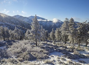
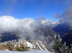
Snow Hike Lightning Ridge
5.1 mi / 900 ft gainWhen you hear the report about snow in the San Gabriels, it's time to plan this hike!Only a short 90 minute drive is all that separates nearly a third of California's population from high-altitude snowy adventures. This isn't about Yosemite, but Southern California's very own San Gabriel Mountain...Read more -
Claremont, California
Claremont Wilderness Loop
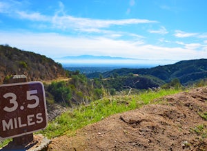
4.85.03 mi / 1020 ft gainDrive to the top of Mills Ave in Claremont. There is a main parking area to the left and overflow parking a block south on the right. It costs $3 to park for 4hrs. As the name implies, the Wilderness Loop is a loop that connects to other trails in the Claremont Hills Wilderness. You can choose t...Read more -
Valyermo, California
Blue Ridge Trail via Inspiration Point
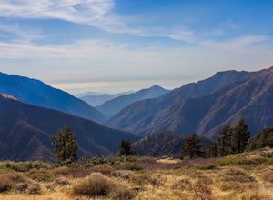
4.97 mi / 692 ft gainThere are two trail heads for the Blue Ridge Trail, one via the Grassy Hollow Visitor Center, and the other across from Inspiration Point. When parking gets crowded over at Grassy Hollow Visitor Center, than parking at Inspiration Point is the better option. To access the Blue Ridge Trail from In...Read more -
La Verne, California
Bridge to Nowhere via East Fork Trail
4.49.65 mi / 1798 ft gainThe trail on this 10-mile hike is predominately slow and steady, but can be a little rocky, so be prepared to scramble. When you’re fording the river, the water level can range from knee to chest high, especially in the wet months. A good pair of waterproof hiking boots is helpful, but water shoe...Read more -
La Verne, California
Cattle Canyon Trail
6.7 mi / 1066 ft gainWithin the San Gabriel Mountains from Highway 39 and along East Fork Road is Cattle Canyon. To go through Cattle Canyon, you can access the trail head just south of the Bridge to Nowhere trail head along East Fork Road right after it intersects with Glendora Mountain Road. There is a small parkin...Read more -
Azusa, California
Bighorn Mine Trail
5.03.69 mi / 607 ft gainIf you decide to head over to Wrightwood for some skiing during the winter, make sure to get a hike in while you’re at it. There are several trail systems along the Angeles Crest Highway (Hwy 2), and one of them is scenic Big Horn Mine Trail. The end point of the hike is the historic and abandone...Read more -
Azusa, California
Summit Mt. Baden-Powell
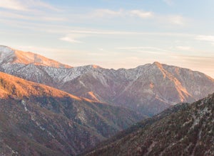
5.07.86 mi / 2808 ft gainThis well maintained and well traveled trail is a popular route with day hikers, backpackers, and Pacific Crest Trail through hikers. Since the trail is on the face of the mountain, snow may linger late into the season. The Pacific Crest Trail is clearly marked on the western corner of the Vinc...Read more -
La Verne, California
Marshall Canyon Trail
4.05.99 mi / 722 ft gainFor this adventure you can choose to start in a multiple of places; for the easiest parking use Oak Mesa Park located next to Oak Mesa Elementary School. From the parking lot cross the soccer field towards the bridge on the north east end of the school. Once across the bridge follow Los Robles ea...Read more -
Chino Hills, California
Adobe Loop
3.01.92 mi / 312 ft gainThe best place to park for this hike is at Hunter's Hill park. From there, the trailhead is located on Natalie Road just South of the park. There is a large sign marking the start of the trail, but it does not give a name for either the trail head or the trail itself. For reference, it is the But...Read more -
9160 Whitewater Canyon Road, California
Pacific Crest Trail: Whitewater Preserve to Stone House
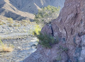
12.38 mi / 1588 ft gainPacific Crest Trail: Whitewater Preserve to Stone House is an out-and-back trail that takes you by a river located near Whitewater, California.Read more -
Whitewater, California
Red Dome via Pacific Crest Trail
4.3 mi / 387 ft gainRed Dome via Pacific Crest Trail is an out and back trail that takes you by a lake located near Whitewater, CaliforniaRead more -
Whitewater, California
Rainbow Rock Canyon
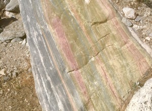
6.3 mi / 1112 ft gainRainbow Rock Canyon is an out and back trail that takes you by a lake located near Whitewater, CaliforniaRead more -
9160 Whitewater Canyon Road, California
San Gorgonio Overlook via Pacific Crest Trail (Whitewater)
10.19 mi / 1775 ft gainSan Gorgonio Overlook via Pacific Crest Trail (Whitewater) is an out-and-back trail that takes you by a lake located near Whitewater, California.Read more -
9160 Whitewater Canyon Road, California
Whitewater Ranger Station to Cottonwood TH via PCT
7.79 mi / 1421 ft gainWhitewater Ranger Station to Cottonwood TH via PCT is a point-to-point trail where you may see beautiful wildflowers located near Whitewater, California.Read more -
Dawson Saddle, California
Hike to Throop Peak, Mt. Hawkins, and Mt. Burnham
8 mi / 2000 ft gainThe trailhead, or pair of trailheads actually, is at a location on the Angeles Crest Highway (CA-2) called Dawson's Saddle. There are a couple of parking areas along the side of the highway, and each of the pair of trailheads begins at either end of this parking area. The trailheads aren't mark...Read more -
Pioneertown, California
Pioneertown to Big Bear via Burns Canyon Road and 2N02
18.8 mi / 3287 ft gainThe Pioneertown to Big Bear trail via Burns Canyon Road and 2N02 is a unique hiking route in Pioneertown, California. This trail is known for its diverse terrain and stunning views. The trail starts in the historic Pioneertown and winds its way up to Big Bear, a popular mountain resort. The tra...Read more

