Kings Beach, California
The best Trails and Outdoor Activities in Kings Beach, California, include the top-rated Brockway Summit Tahoe Rim Trail. This 20-mile loop provides panoramic views of Lake Tahoe and the Sierra Nevada range, making it a must-visit for those who appreciate scenic beauty. The trail is moderately challenging, with sections of steep inclines and rocky terrain. Along the way, you will pass through dense forests, open meadows, and cross several creeks. Another outdoor adventure is paddleboarding at Kings Beach State Recreation Area. The calm, clear waters of Lake Tahoe make it an ideal spot for this activity. Nearby, the Old Brockway Golf Course offers a different kind of outdoor fun with its 9-hole layout. Remember to pack your hiking boots and paddleboard and get ready for some of the best outdoor adventures in California.
Top Spots in and near Kings Beach
-
39.333252,-120.289482
Donner Lake Rim Trail: Johnson Canyon to Trout Creek
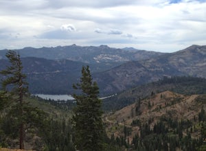
A perfect Sunday hike on your way back from a weekend at Lake Tahoe. Exit I-80 at Donner Lake and take the dirt road on the north side of I-80 to a large parking lot. A mild climb followed by a set of tougher switchbacks leads you to great views from Donner Ridge. Although adventuring out on t...Read more -
Tahoe City, California
Hike the Ellis Peak Trail
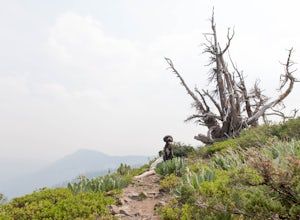
5.06.3 mi / 1660 ft gainThe Ellis Peak Trail is close to North Lake Tahoe. The trail features scenic wildflowers in the spring and summer. Dogs are allowed on the trail but must be kept on leash. Directions from Truckee: Take Highway 80 south and drive to Tahoe City - continue south on Highway 89 from Tahoe City for 4....Read more -
Glenbrook, Nevada
Kayak Zephyr Cove
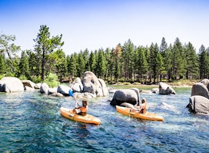
Zephyr Cove on the eastern shore of Lake Tahoe is a fantastic starting point for a host of water sports and activities and given the protected nature of the cove, a great place for kayaking for both beginners are more advance kayakers. Depending on the time of year and the water level on the nort...Read more -
Glenbrook, Nevada
Camp at Zephyr Cove
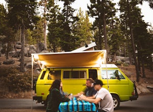
Zephyr Cove on the eastern shore of Lake Tahoe is a fantastic starting point for a host of water sports and outdoor activities, from wake surfing to backpacking to trail running on the Tahoe Rim Trail. The Zephyr Cove Resort campground has 47 walk-in campsites and 10 drive-in campsites in additio...Read more -
Glenbrook, Nevada
Explore Emerald Bay by Boat from Zephyr Cove
Zephyr Cove on the eastern shore of Lake Tahoe is a fantastic starting point for a host of water sports and activities including a boat ride across Lake Tahoe to explore Emerald Bay. To get to Zephyr Cove take Highway 50 north for 7 miles out of South Lake Tahoe and turn left into the Zephyr Cove...Read more -
Glenbrook, Nevada
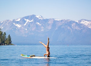
Stand Up Paddle Board Zephyr Cove
Zephyr Cove on the eastern shore of Lake Tahoe is a fantastic starting point for a host of water sports and activities and given the protected nature of the cove, a great place to do stand up paddle board. Depending on the time of year and the water level on the northern end of the beach there ar...Read more -
Glenbrook, Nevada
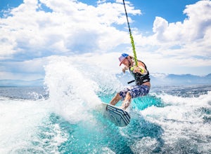
Wake Board Zephyr Cove
Zephyr Cove on the eastern shore of Lake Tahoe is a fantastic starting point for a host of water sports and activities and given the protected nature of the cove, a great place to wake surf and to *learn* to wake surf To get to Zephyr Cove take Highway 50 north for 7 miles out of South Lake Tahoe...Read more -
Glenbrook, Nevada
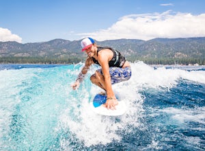
Wake Surf Zephyr Cove
Zephyr Cove on the eastern shore of Lake Tahoe is a fantastic starting point for a host of water sports and activities and given the protected nature of the cove, a great place to wake surf and to *learn* to wake surf To get to Zephyr Cove take Highway 50 north for 7 miles out of South Lake Tahoe...Read more -
Zephyr Cove, Nevada
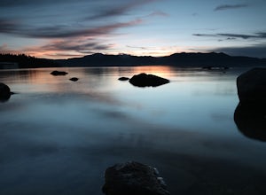
Photograph Zephyr Cove at Sunset
5.0After pulling into the parking it is only a a few minute walk right down to the beach. This place is incredible for sunrise and and sunset. The water is so calm because its tucked back in the cove which gives awesome reflections of the sky in the water. Make sure to bring a tripod and neutral den...Read more -
Truckee, California
Hike the Truckee Tunnels
5.0To get here, drive along Donner Pass Rd. There is a turnoff about 100 yards away from the Donner Summit Bridge where you can park. The hike begins at a plaque for the China Wall- a large retaining wall built by Chinese railroad workers. Hike up the trail towards the tunnels. Some spots may requi...Read more -
South Lake Tahoe, California
Hike the Rubicon Trail
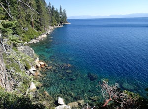
5.07 mi / 400 ft gainThe Rubicon Trail is a through hike connecting D.L. Bliss State Park and Emerald Bay State Park. You can start at either point. I opted to start at D.L. Bliss State Park to avoid the long walk uphill to catch the Nifty Fifty shuttle. Also, there is more available parking at Bliss. Park your c...Read more -
South Lake Tahoe, California
Hike the Lighthouse Trail at D.L. Bliss State Park
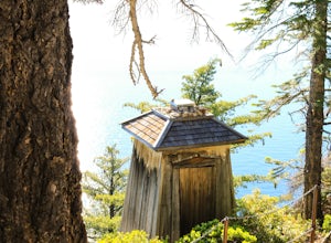
4.82.3 mi / 505 ft gainThe Lighthouse Trail is a 2.3 mile loop located in D.L. Bliss State Park on the lower west side of world famous Lake Tahoe. To get the trail, enter the park through the main entrance ($10 parking fee), the follow the road until you see two parking areas of the left side with about 6 or 7 spots e...Read more -
Reno, Nevada
A Lazy (Fun) Float Down the River
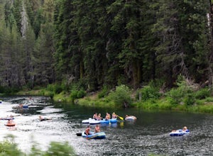
4.5Start your day by heading to Tahoe City where the East and North Shores of Lake Tahoe meet. Be sure to grab supplies along the way including drinks, picnic lunch, sunscreen, coolers, floating devices (if you aren’t interested in renting) and maybe even some super soakers if you are planning to ...Read more -
Carson City, Nevada
Riverview Park Loop
4.01.64 mi / 23 ft gainRiverview Park Loop is a loop trail that takes you by a river located near Carson City, Nevada.Read more -
South Lake Tahoe, California
D.L. Bliss State Park to Emerald Bay State Park via Rubicon Trail
7.21 mi / 1424 ft gainD.L. Bliss State Park to Emerald Bay State Park via Rubicon Trail is an out-and-back trail that takes you by a lake located near Tahoma, California.Read more -
Soda Springs, California
Hike to the Peter Benson Hut
5.011.6 mi / 1800 ft gainDrive to the top of Donner Summit via the Old Hwy 40 and park at the Donner Summit PCT trailhead, just past the Sugar Bowl Academy Building. Begin hiking up-hill through a somewhat forested area for about 2 miles. Shortly after you pass the trail sign for the Mt. Judah Loop, you will come to a sm...Read more

