Kings Beach, California
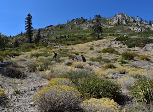
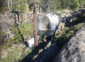
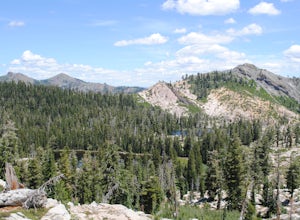
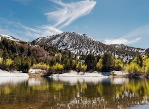
The best Trails and Outdoor Activities in Kings Beach, California, include the top-rated Brockway Summit Tahoe Rim Trail. This 20-mile loop provides panoramic views of Lake Tahoe and the Sierra Nevada range, making it a must-visit for those who appreciate scenic beauty. The trail is moderately challenging, with sections of steep inclines and rocky terrain. Along the way, you will pass through dense forests, open meadows, and cross several creeks. Another outdoor adventure is paddleboarding at Kings Beach State Recreation Area. The calm, clear waters of Lake Tahoe make it an ideal spot for this activity. Nearby, the Old Brockway Golf Course offers a different kind of outdoor fun with its 9-hole layout. Remember to pack your hiking boots and paddleboard and get ready for some of the best outdoor adventures in California.
Top Spots in and near Kings Beach
-
Washoe County, Nevada
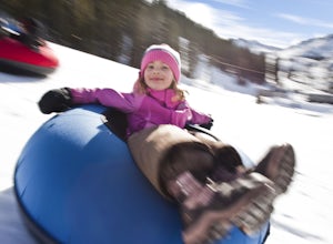
Sledding Fun for the Whole Family
5.0You can't miss this spot in the open snowfields of Tahoe Meadows. This area is not privately owned or maintained, which is perfect. It is a short drive up the Mt. Rose Highway from Reno and Sparks and there is plenty of free parking (except on super-busy days) right next to the sledding slopes an...Read more -
Carson City, Nevada
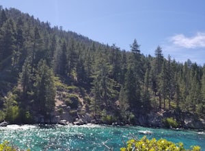
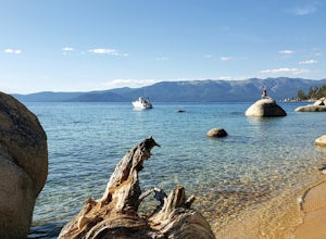
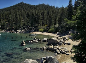
Hike to Secret Cove
5.00.9 mi / 209 ft gainTake a short little hike down from HWY 28 to Secret Cove to relax on the beach on sunbathe on rocks. The water is incredibly clear and has different shades of turquoise. There are many rocks to climb on and the water is great for swimming. It gets crowded early, and is a nude beach, so plan accor...Read more -
Tahoe City, California
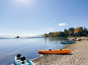
Paddle Commons Beach
5.0Commons Beach is a small beach and park on the northwest side of the lake. It is located very close to the CA-89 exit, so is ideal for road trip stops. There is a park for kids, and a grassy area near the beach. The beach itself is on the smaller side, but is relatively uncrowded. This area of th...Read more -
Carson City, Nevada
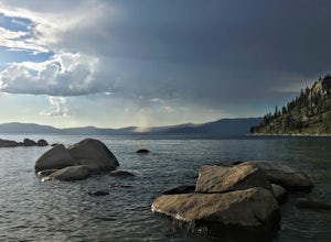
Secret Harbor / Whale Beach
4.01.67 mi / 384 ft gainSecret Harbor / Whale Beach is an out-and-back trail that takes you by a lake located near Carson City, Nevada.Read more -
Reno, Nevada
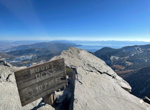
Mt. Rose Summit Loop
5.010.74 mi / 2392 ft gainThis challenging hike offers great views of the greater Tahoe area. The first part of the hike to the waterfall is relatively easy, but once you pass that, you'll be doing a decent climb to the summit. During the summer months, you'll want to get an early start as there can be a decent crowd head...Read more -
Carson City, Nevada
Hike to Skunk Harbor
4.5The parking for Skunk Beach is very limited and a little difficult to find. Make sure you get there early if you want a spot. The parking is a turnoff along highway 28, about two miles north of the junction with highway 50. There is no trail sign or anything but there is an old green pipe gate wh...Read more -
Carson City, Nevada
Skunk Harbor
4.02.83 mi / 564 ft gainSkunk Harbor is an out-and-back trail that takes you by a lake located near Glenbrook, Nevada.Read more -
Truckee, California
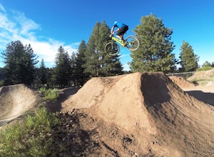
Ride the Truckee Bike Park
5.01 mi / 50 ft gainTruckee bike park is a great destination for all ages of bike riders. There are several different features including a pump track, dual slalom course, dirt jumps, strider track and more! This park is kid friendly but be sure to pack a helmet and pads especially for first-timers. More experienced ...Read more -
New Washoe City, Nevada
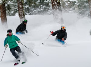
Ski or Snowboard Mt. Rose
5.0The Resort is located about 30 miles (50 km) south of Reno in the Carson Range. Mt. Rose is Tahoe's highest base elevation at about 8,260 ft (2,520 m) and the summit is 9,700 ft (3,000 m). The resort area is 1,200 acres (4.9 km2), and is located in the Toiyabe National Forest.See the resort map h...Read more -
Truckee, California
Ski and Snowboard Northstar
3.5Northstar California, previously known as Northstar-at-Tahoe, is located near the north shore of Lake Tahoe and is home to over 3,000 acres of skiable terrain. The resort is known for its laid back atmosphere coupled with high-end luxury accommodations, shopping and dining.The resort is home to i...Read more -
Carson City, Nevada
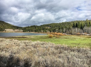
Hike the Spooner Lake Loop
2.2 mi / 150 ft gainThe Spooner Lake Loop is perfect for any ages since there is basically no elevation gain and many benches along the trail to rest. The trail offers many educational signs describing the history, and flora and fauna of the area. This man made lake is perfect for the kids and pup. They will love th...Read more -
Homewood, California
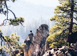
Eagle Rock
4.00.84 mi / 105 ft gainStarting at an outcrop off Highway 89 in Tahoe Pines, hikers make their way up the trail through a gradually sloping forest. Climbing rocks and logs, it is strenuous at times but only takes about 15-20 minutes to accomplish. Once at the top, the elevation is 6,286 feet and consists of an absolute...Read more -
Olympic Valley, California
Hike the Thunder Mountain Trail
5.03.2 mi / 2000 ft gainThe Thunder Mountain Trail is the perfect hike to explore the Squaw Valley Alpine Meadows. Squaw may be famed for its mountain ski runs in the winter, but when the snow melts in the summer, beautiful alpine meadows line the mountain and the ski runs turn into hiking trails! The Thunder Mountain T...Read more -
Olympic Valley, California
Hike the Shirley Canyon Cascades Trail
3.6 mi / 2109 ft gainThis trail has lots of elevation over a short distance, be warned! The Shirley Canyon Cascades Trail is close to Olympic Valley in the North Lake Tahoe region. Dogs are allowed on this trail if kept on leash.Read more -
Olympic Valley, California
Hike to Lake Estelle and Five Lakes
6 mi / 1000 ft gainThis hike starts at Alpine Meadows Base Camp and finishes on Alpine Meadows Road. The end point is less than a half mile from the base, and an easy walk up a slight hill. Park at base camp and head on the trail to the far right of all of the lifts. Proceed up the trail for half a mile (this is th...Read more -
Reno, Nevada
Church's Pond via the Jones-Whites Creek Trail
4.06.49 mi / 2185 ft gainFor the first 0.6 miles the trail follows a peaceful creek, before upping the steepness as it ascends the mountain sides via multiple switchbacks. At 2.5 miles in, you reach a peak that allows you to see from Reno to Washoe City; a perfectly good place for sane people to enjoy and turn back. Howe...Read more

